BASINVIEW
BasinView links the products in the Petroleum Systems Suite, including BasinMod, BasinMod Risk and BasinFlow. Multiple BasinMod well models as well as surface grids or isopachs can be imported and used to generate surfaces for a multitude of calculated values. Results can be displayed as maps, cross-sections, and in 3-D using the three-dimensional surface viewer. BasinMod Risk models can be generated from any well or pseudowell in the BasinView project.
BasinView:
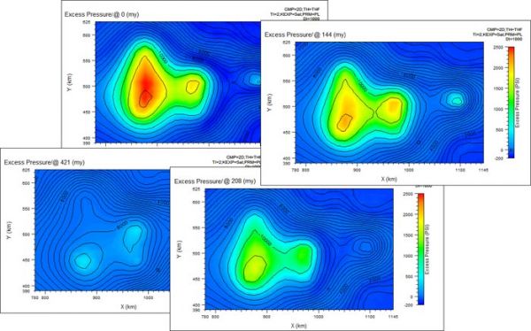
- Displays calculated results as surfaces for multiple, user-defined time steps.
- View maps of hydrocarbon generated, expelled and retained, maturity, porosity, permeability.
- Modify gridding parameters to enhance local features or directional trends.
- Correct crossing horizons and insert new horizons.
Input:
- Gridded data from Z-Map, ARC/Info, Surfer, and others.
- Any data in ASCII xyz format.
- Models from BasinMod.
- Cultural data such as coastlines and lease boundaries in ESRI Shapefile format.
- User-created surfaces for thickness, missing thickness, porosity, Total Organic Carbon and other values.
Output:
- Maps of calculated values at present day and at user-defined paleo ages.
- Cross-section for any user-created line on the map.
- Export results in a variety of formats to other mapping packages.
- Calculated output can be used by BasinFlow to determine migration pathways and accumulation in traps.
Rating
Visits
1,069
Redirects
303
Don't Miss Out! Get the Best Deal on this Software - Email Us Now!