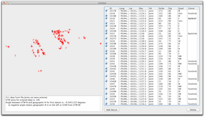
This program will take a table of orientation data, saved as tab-delimited text file, and reformat the data so that it can be read into v. 9-12 of Canvas GIS drafting software. Upon import, you will see all of your strikes and dips of bedding, cleavage, joints, or lineations plotted with their correct orientation on your map in Canvas. Previous version of this program do not work under Mac OS X "Lion" or under Windows 7. The new version is vastly improved, with a table view that allows you to edit any rogue data points (as well as enter new data points) and a preview map view to allow you to visually inspect your data. Finally, unlike earlier versions of the software, this program correctly accounts for the difference between geographic north and UTM north at any point.
Don't Miss Out! Get the Best Deal on this Software - Email Us Now!