Target for ArcGIS
Geological Software
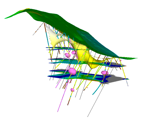
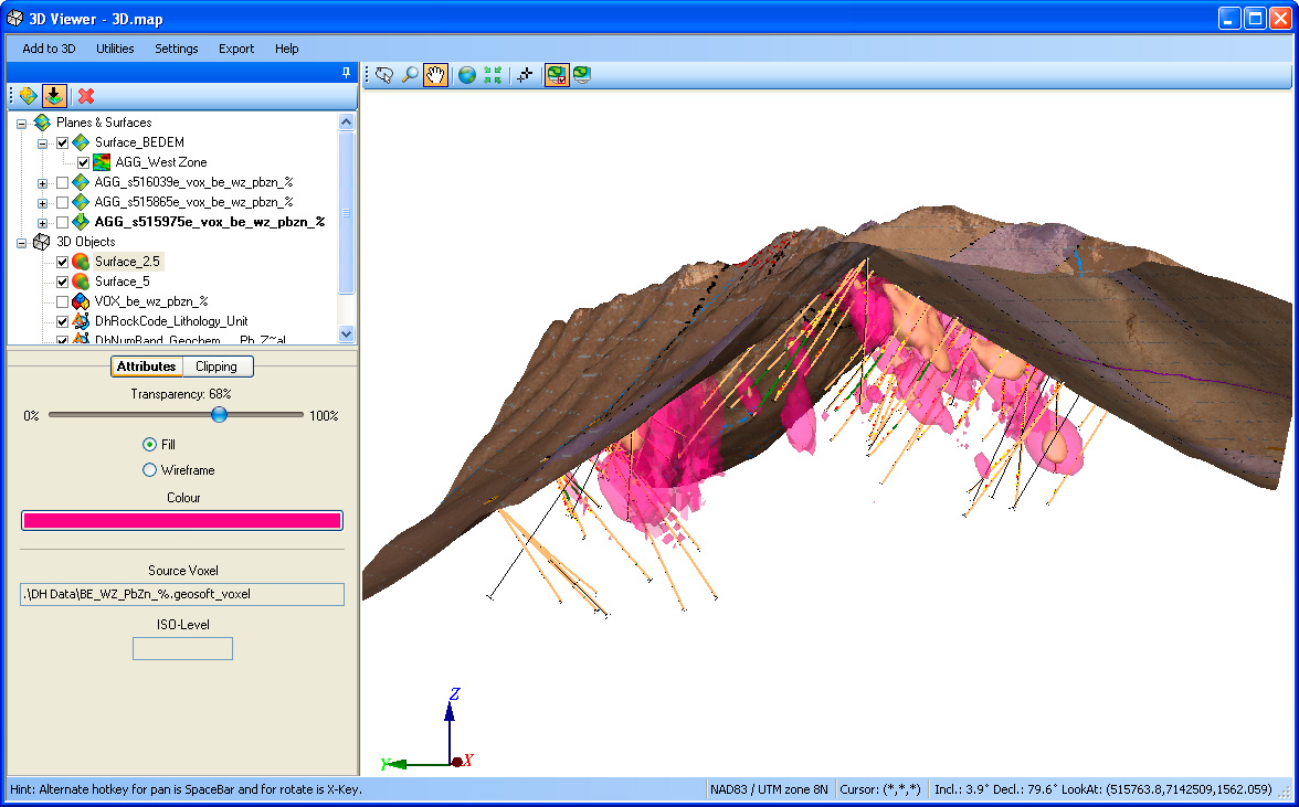
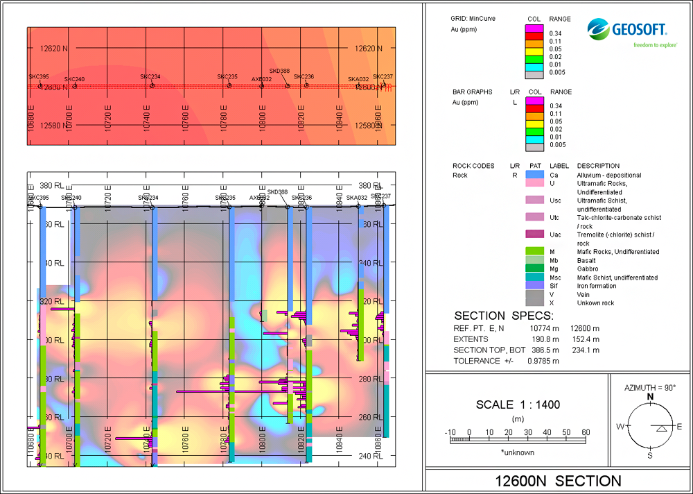
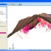
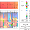
Target for ArcGIS is a geology mapping extension for Esri ArcGIS that simplifies 3D visualisation and analysis of drillhole and borehole geology data within ArcMap. Using Target for ArcGIS, you can visualise your geology data in 3D and conduct integrated analysis to enhance subsurface insight.
Rating
Visits
1,294
Redirects
315
Don't Miss Out! Get the Best Deal on this Software - Email Us Now!