Geology Software
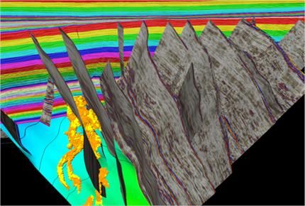
Geological Engineering include understanding and analyzing field depositional environment along with earth techtonic movements to create a reliable 3D model of underground reservoir structure (e.g., geological model). Geological models may be complicated depending on the number of oil bearing horizons and faults.
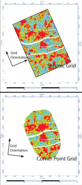
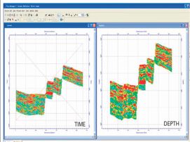
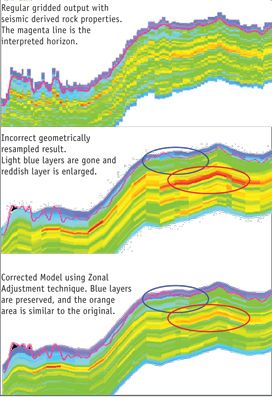
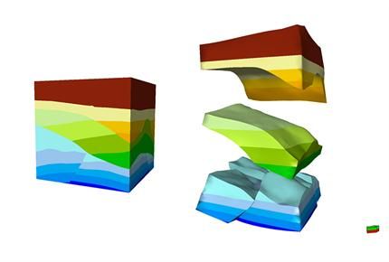
RockScale® transfers 3D models from orthogonal (seismic) grids to corner point grids. Its unique Zonal Adjustment technique ensures proper mapping of the seismic property samples into the correct stratigraphic layers in the Corner Point Grid. Flow geometry is preserved for NTG, Porosity, and other v ...
Read More ...

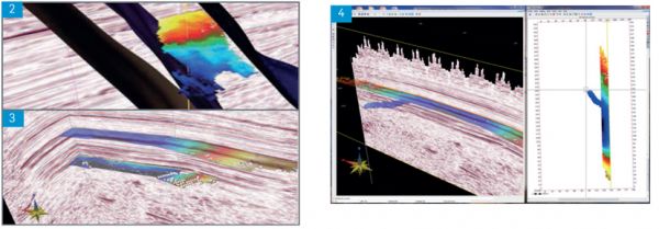
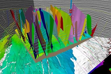
RockFrame’s structural characterization tools are designed to complement the Jason Workbench of quantitative interpretation workflows and products. QI teams can take advantage of the 3D horizon auto-trackers and manual fault pickers to build, refine, or enhance a reservoir’s structural framework. Th ...
Read More ...
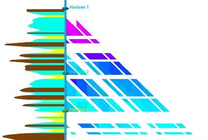
Using a unique gridless model building framework, RokDoc ChronoSeis enables rapid 3D-4D geological modelling and reservoir monitoring. Models integrate structural and stratigraphic information, data from wells and seismic, and reservoir simulation results enabling users to analyse evolving reservoir ...
Read More ...

Petrel Popular
Shared earth—critical insight
The Petrel E&P software platform brings disciplines together with best-in-class applied science in an unparalleled productivity environment. This shared earth approach enables companies to standardize workflows from exploration to production—and make more informed ...
Read More ...


The Geoscience core is the entry-level Petrel core and is the required base for a number of Petrel geology and geophysics modules. It enables you to build simple and complex earth models, perform volume calculations, plot accurate maps, store and share workflows within your organization, and manage ...
Read More ...
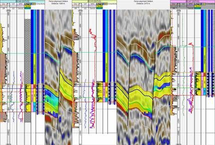
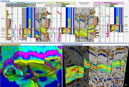
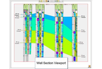
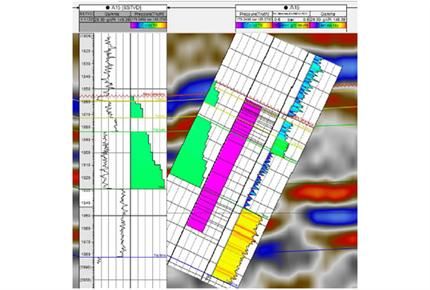

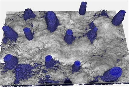
Petrel Well Correlation Popular
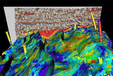
The Petrel Well Correlation module provides a clean correlation canvas on which to display logs, core images, seismic data, grid data, and even completions and simulation results—which can be played through time. Deviated wells can be displayed overlain on seismic or 3D grid properties.
You can int ...
Read More ...
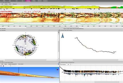
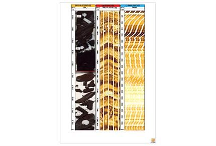
Data handling The Wellbore Imaging (Wbi) module lets you benefit from tool recognition on loading, interactive depth matching, and splicing of processed data from multiple passes. It also provides the ability to handle raw and processed data from multiple vendors with ease. Results are exported in A ...
Read More ...
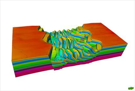
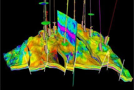
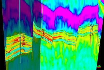
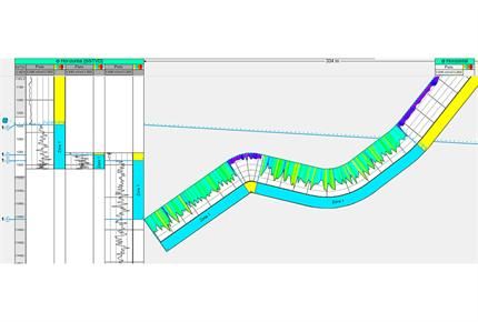
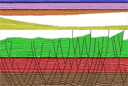
The Petrel Structural Framework Builder module allows you to build accurate structural models at any scale or level of complexity. Modeling-while-interpreting enables instantaneous modeling of faults during interpretation. A volume-based approach is used to build the model providing high accuracy, h ...
Read More ...
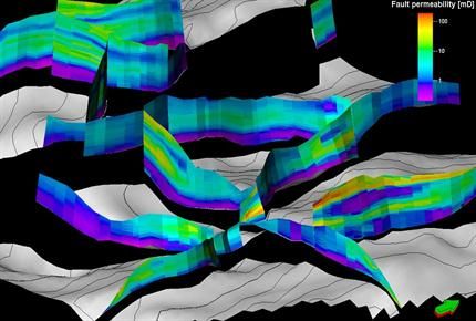
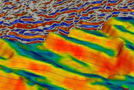
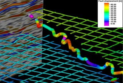
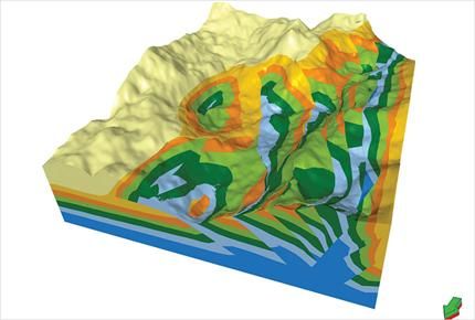
The Petrel Structural and Fault Analysis module allows for more accurate mapping of faults, rapid definition of critical flowing or sealing windows along the faults, better integration of fault properties and geometries within the simulator, and the ability to easily tune fault data to observed core ...
Read More ...
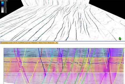
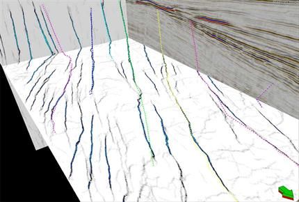
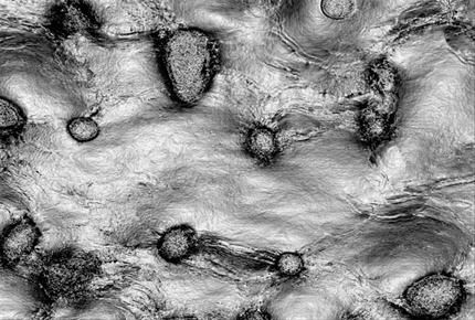
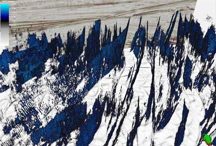
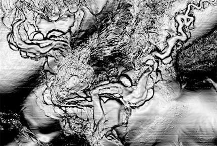
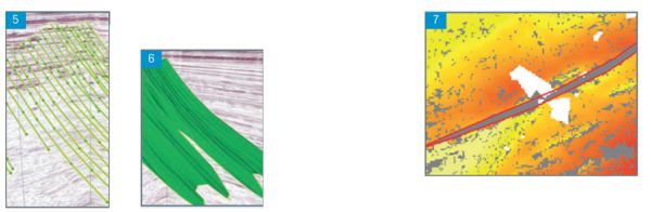
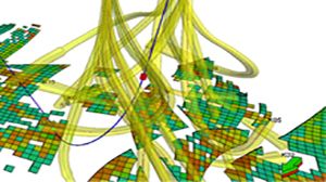
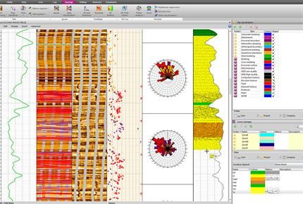
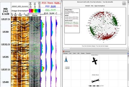
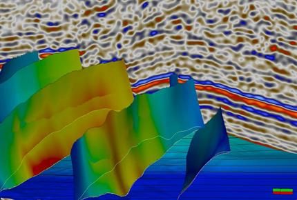
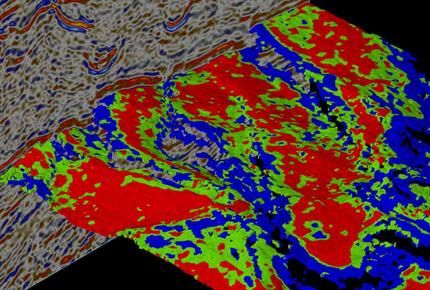
Structural interpretation in the Petrel E&P software platform improves the understanding of structure and delineation of fault and fracture networks through various advanced edge detection and illumination attributes (including Ant Tracking). Tectonic and depositional relationships can be unders ...
Read More ...