cohTEEC
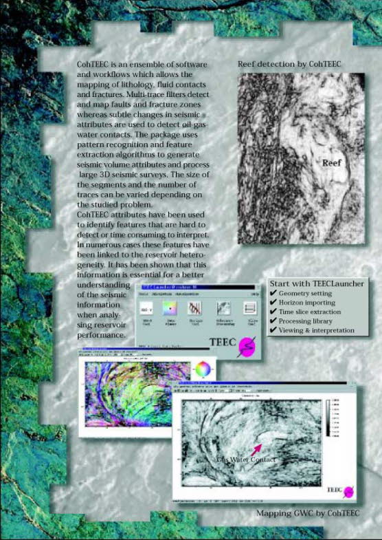
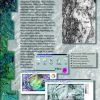
cohTEEC is an ensemble of software and workflows which allows the mapping of lithology, fluid contacts and fractures. Multi-trace filters detect and map faults and fracture zones whereas subtle changes in seismic attributes are used to detect oil-gas-water contacts. The package uses pattern recognition and feature extraction algorithms to generate seismic volume attributes and process large 3D seismic surveys. The seize of the segments and the number of traces can be varied depending on the studied problem.
cohTEEC attributes have been used to identify features that are hard to detect or time consuming to interpret. In numerous cases these features have beeb linked to the reservoir heterogeniety. It has been shown that this information is essential for a better understanding when analysing reservoir performance.
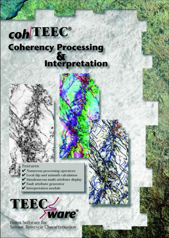
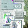
Features:
- Numerous processing operators
- Local dip and azimuth calculation
- Simultaneous multi-attribute display
- Fault attribute generator
- Interpretation module
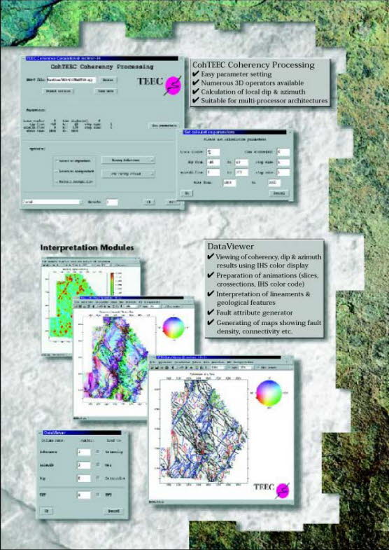
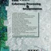
cohTEEC Coherency Processing
- Easy parameter setting
- Numerous 3D operators available
- Calculation of local dip & azimuth
- Suitable for multi-processor architectures
Data Viewer
- Viewing of coherency, dip & azimuth results using IHS color display
- Preparation of animations (slices, crossections, IHS color code)
- Interpretation of lineaments & geological features
- Fault attribute generator
- Generating of maps showing fault density, connectivity etc.
Rating
Visits
887
Redirects
671
Don't Miss Out! Get the Best Deal on this Software - Email Us Now!