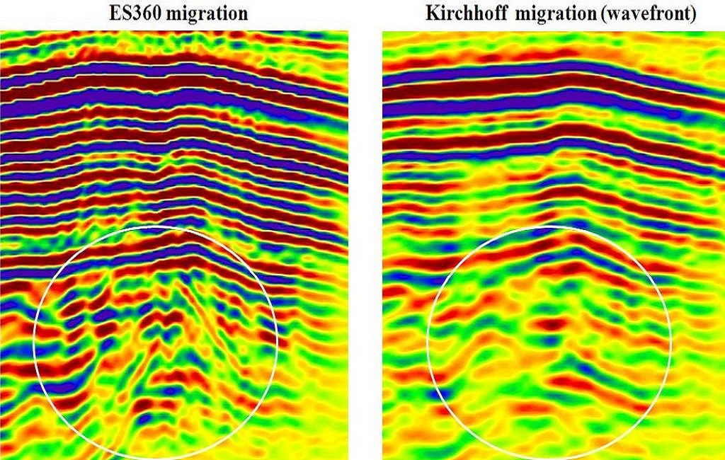
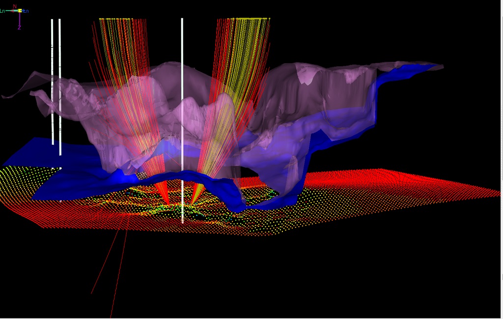
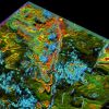
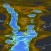
A full 360 degrees of insight into subsurface exploration and production. Imagine lowering a camera into the earth’s subsurface and recording a continuous animation that captures the surroundings in all directions and angles. The dream is now a reality. The Paradigm® EarthStudy 360® full-azimuth angle domain imaging and analysis system is a brand new invention designed to image, characterize, visualize and interpret the total seismic wavefield in all directions. EarthStudy 360 uses the complete recorded wavefield to provide a highly accurate and detailed description of the subsurface. The system delivers a complete set of data to depth imaging and processing experts, as well as to interpretation specialists, enabling them to achieve accurate subsurface velocity models, structural attributes, medium properties, and reservoir characteristics.
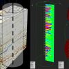
DERIVE UNPRECEDENTED VALUE FROM ALL MODERN AND LEGACY SEISMIC DATA ACQUISITIONS Ray tracing and illumination in GeoDepth The first full-azimuth imaging solution in the industry, EarthStudy 360 has been rigorously tested, successfully undergoing full-scale studies and field trials in many geological and structural environments. The system has proven successful in extracting unprecedented value from all modern and legacy seismic data acquisitions, especially those with wide and rich azimuth and long offset, in both marine and land environments, including unconventional shale plays. EarthStudy 360 is not an improved version of existing imaging and interpretation systems; nor is it an evolution of any seismic imaging or interpretation technology in use today. Rather, it is a revolutionary, totally new technology that provides previously unattainable levels of subsurface knowledge to help geoscientists locate reservoirs and optimize development.
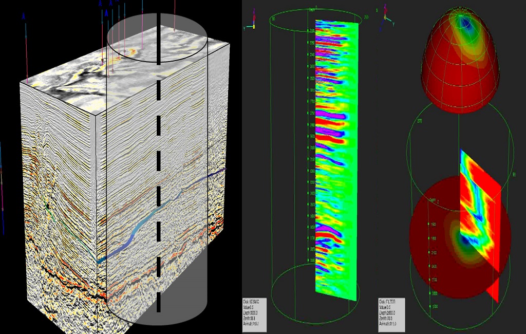
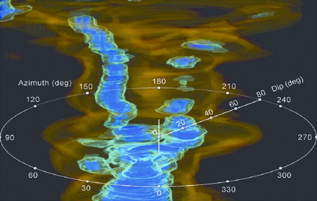
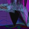
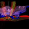
MAXIMUM INFORMATION FROM SEISMIC DATA EarthStudy 360 maximizes the information that can be extracted from recorded seismic data. The wealth of seismic image data is decomposed into full-azimuth, angle-dependent reflectivities and directional (dip and azimuth) data components. These components can be selectively sampled, creatively combined, dynamically visualized, and further processed to secure images of the subsurface.
Don't Miss Out! Get the Best Deal on this Software - Email Us Now!