Interpret
Our patented and uniquely powerful tools enable you to accurately interpret exactly what you see using a data-driven but interpreter guided approach.
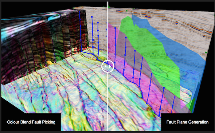
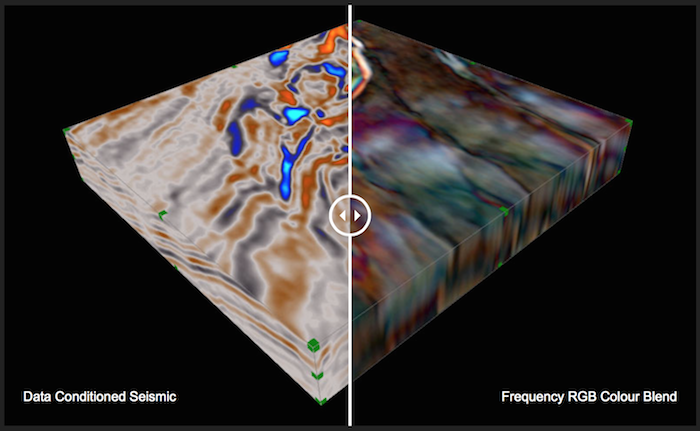
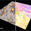
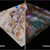
Being able to extract the information from the data is the key to generating value. GeoTeric is the only application to enable full horizon, fault and geobody interpretation directly on the RGB, CMY or HSV blends that most effectively reveals the geology.
Workflow
Adaptive interpretation tools for creating a regional or reservoir scale structural framework
GeoTeric Tools
- Adaptive Geobodies
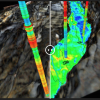
- Adaptive Horizons
- Adaptive Faults
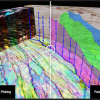
- Polygon Picking
Rating
Visits
1,167
Redirects
303
Don't Miss Out! Get the Best Deal on this Software - Email Us Now!