Marlin
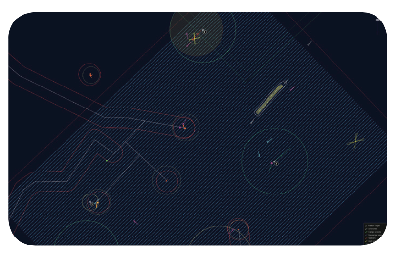
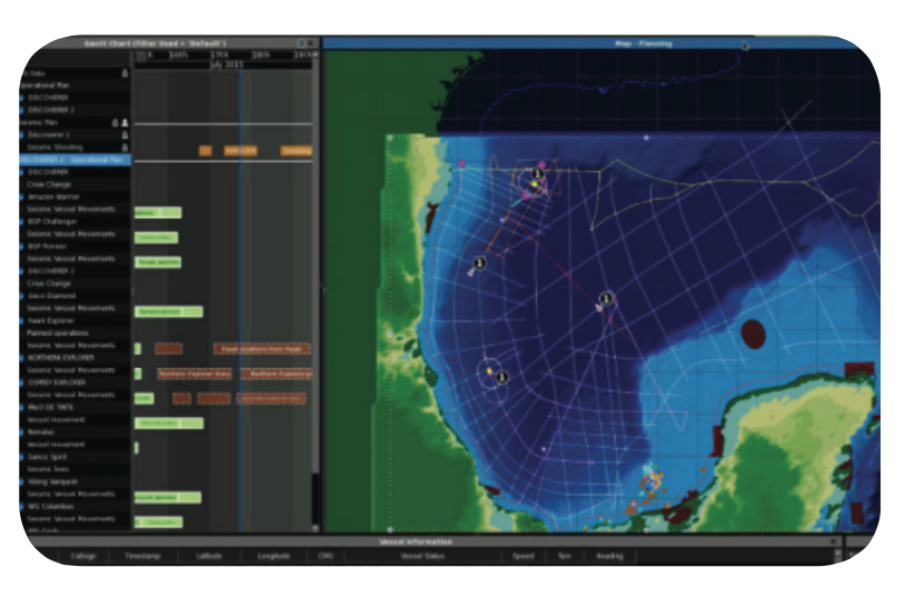
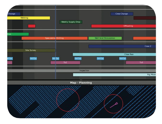

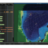
MarlinTM is the only commercially available marine management system that combines temporal project planning with 3D spatial situational awareness. Marlin integrates AIS, GPS, GIS, MetOcean and visual data between onshore operations, offshore structures and other vessels to create a common operational picture of any given theatre of operations.
Marlin
Innovation that delivers results
- Enhanced collaboration
- Safer and more efficient operations
- Improved return on capital employed (ROCE)
Marlin delivers enhanced safety and efficiency for offshore oil and gas operations which are spatial and temporal in nature, such as tanker loading, seismic surveys, pipeline and platform construction, field development drilling, diving or supply vessel movement. Marlin combines planned activities and their associated rules with live positional data to provide predictive conflict analysis based on operational objectives and HSE policies.
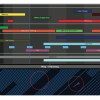
Marlin incorporates a powerful calendar GUI that automatically uploads operational plans & tasks to provide a complete temporal and 3D spatial representation of operations. Marlin provides offshore and onshore personnel with a complete common operational picture to support planning, monitoring and managing of all simultaneous operations.
Marlin enables visualisation and sharing of real-time operational data across your enterprise and collaboration with third-party vessels and companies, enhancing safety, increasing operational efficiency and reducing costs from unplanned downtime, overruns and incidents.
Rating
Visits
1,254
Redirects
294
Don't Miss Out! Get the Best Deal on this Software - Email Us Now!