Petrosys Mapping

Petrosys helps clients integrate geotechnical, engineering and GIS data to develop a better understanding of their subsurface environment for more effective management and development of petroleum reserves. Focusing on petroleum exploration and production data and software, Petrosys’ direct connection functionality, creates simplified workflows.
Mapping & Visualization
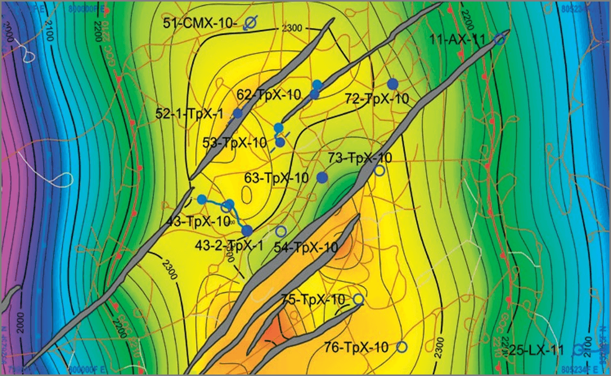
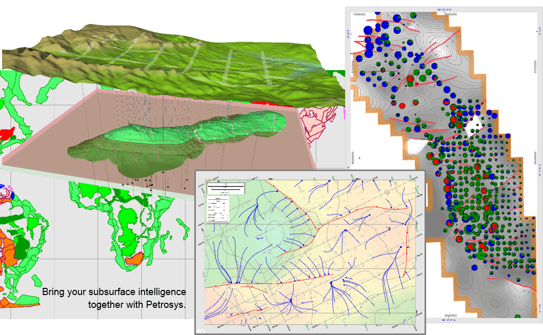
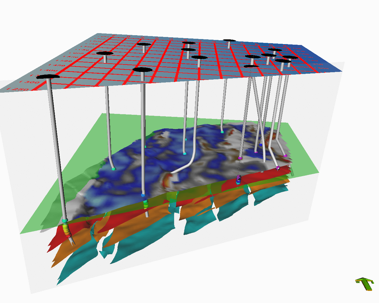
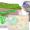
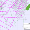
Petrosys mapping software provides clients everything they need to display exploration, production and geographical data in the most compelling, relevant way. With the 3D visualization tools, clients are able to combine map views with effective representations of surface models. These professional quality maps facilitate, validate and present all pertinent information for exploration and production project decision making.
Surface Modeling & Volumetrics
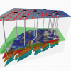
Petrosys provides sophisticated, integrated surface modeling tools so you can compute complex subsurface structures, including faults, and estimate volumes. These tools include a diverse range of algorithms, methods, smart interpolation, editing tools and filtering techniques.
Direct Connectivity
Petrosys allows clients to tap seamlessly into all vital data sources such as OpenWorks, GeoFrame, Finder, Kingdom, Petrel, Petra, Oracle, ArcSDE and many more. Combine interpretation, modeling, queries and reports from multiple geoscience disciplines to create simple, auditable workflows with superior final products.
Rating
Visits
1,411
Redirects
274
Don't Miss Out! Get the Best Deal on this Software - Email Us Now!