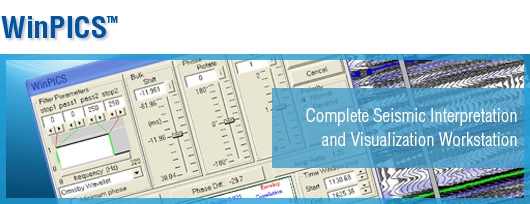
WinPICS


With an extensive range of exploration tools, WinPICS 5.9 is designed to help you hit your exploration targets.
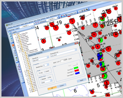
WinPICS offers easy to use data management tools from import to presentation mapping. Featuring sophisticated query and mapping capabilities to visualize your exploration and interpretation projects, WinPICS is modeled on industry workflows to deliver a smooth user experience, complete with prompt display updates and intuitive management of data and mapping layers.
FEATURES
- Streamlined data posting and display with straightforward well data and map overlays
- Time slice organization provides on-map slice views of multiple data volumes
- Extremely fast display load time and navigation through seismic data elements
- Sophisticated 2D, 3D and synthetic seismic line tie tools, and advanced wavelet matching capabilities
- Dynamic GeoVista database integration within WinPICS using VistaBridge feature
- Software is open to external data solutions available in the exploration software market
Go Beyond Seismic with VistaBridge™
One of the major advantages of WinPICS over its competitors is VistaBridge; an integration of the GeoVista database browser into the WinPICS interface. Finding good data sources, purchasing and loading multiple file formats from public and third-party suppliers can be a lengthy, costly and stressful process. With VistaBridge, you can export complete, relevant and specific data instantly from GeoVista, giving you extra time to focus on what’s important. You have direct and dynamic access to GeoVista, without ever leaving the WinPICS interface. Don’t settle for piecemeal data, get the whole picture today and go beyond seismic.
Rating
Visits
1,470
Redirects
301
Don't Miss Out! Get the Best Deal on this Software - Email Us Now!