geocap
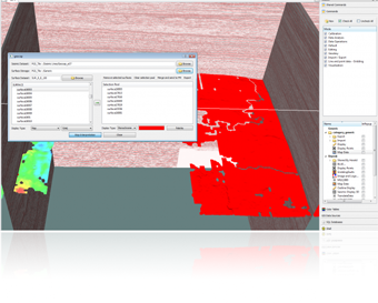
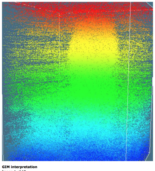
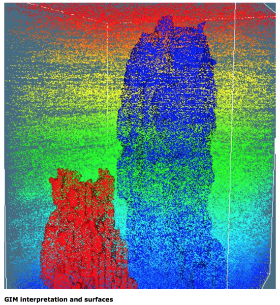
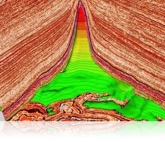
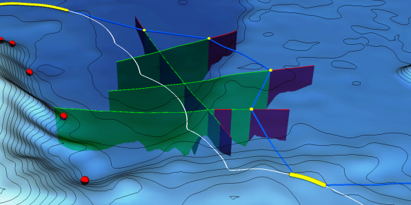
Surface-based interpretation is the new method for seismic interpretation that greatly reduces interpretation effort, increases the quality of the result, while retaining full control of the process with the interpreter.
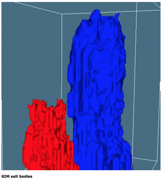
GIM automatically tracks all continuous reflectors along seismic lines or in a ...
Read More ...
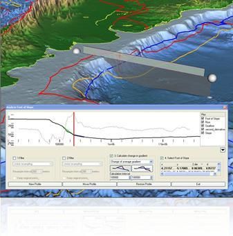
Geocap Shelf is a full 3D toolbox including everything needed for continental shelf delineation in accordance with United Nations Convention on the Law of the Sea, Article 76.
Geocap Shelf is a complete solution for continental shelf mapping and determination of a nation's continental shelf beyond ...
Read More ...
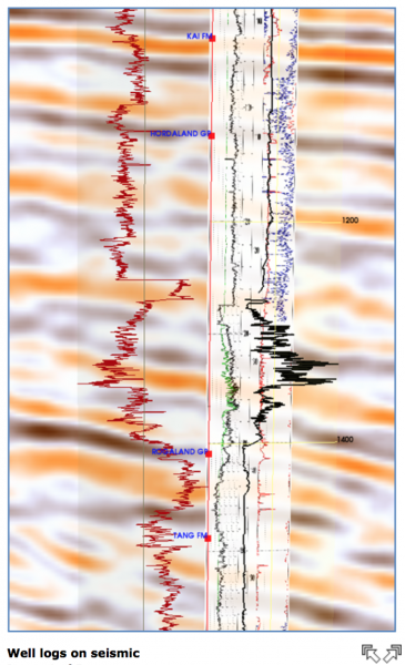
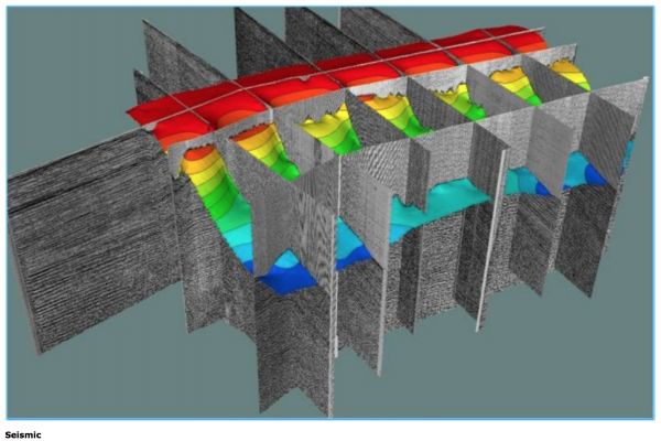
The Geocap Oil & Gas package is used by geologists, geophysicists and reservoir engineers, either as a primary system or as a supplementary tool. By using Geocap one has a great source of functionality and can achieve very high productivity and efficiency in practical work.
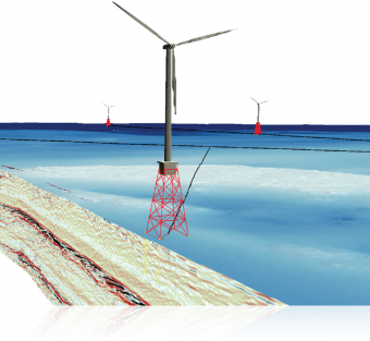
Geocap Ground Model is used for ground model construction in all stages of project development; from project inception and desktop study through to operation and maintenance, the ground model informs all activities involving resource assessment and engineering intrusive works.
The Geocap Ground Mod ...
Read More ...
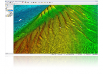
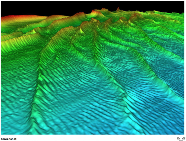
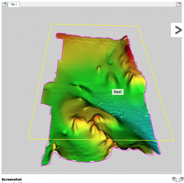
Geocap Seafloor lets you process survey data from multibeam echo sounders and create large high resolution grids. The strict project organization simplifies the way to build effective product lines.
The first version of Seafloor was released with Geocap 6.0.
Functionality for multibeam processing ...
Read More ...
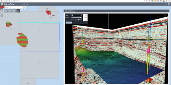
Subsurface Portal for ArcGIS Popular
Make your subsurface data easily accessible through a web environment and allow your teams to collaborate, share information and make informed decisions
Subsurface Portal for ArcGIS extends ArcGIS Enterprise and consist of a set of extensions and widgets:
Seismic Explorer - a desktop extension f ...
Read More ...
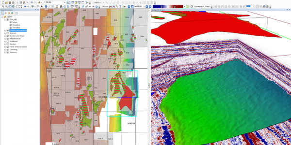
Seismic Explorer for ArcMap is an ArcGIS extension for managing and visualizing seismic data. It extends your ArcGIS desktop environment and brings your cultural data together with seismic data, bathymetry, interpretation, horizons and wells in an integrated 3D window inside ArcMap.
Features:
Su ...
Read More ...
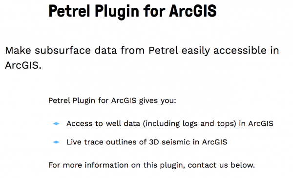
Make subsurface data from Petrel easily accessible in ArcGIS. Petrel Plugin for ArcGIS gives you: Access to well data (including logs and tops) in ArcGIS Live trace outlines of 3D seismic in ArcGIS
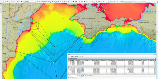
The Maritime Limits and Boundaries extension provides a set of tools for calculating maritime limit lines and maritime boundary lines in ArcMap.
Users can capture, configure, store and disseminate their data using an industry leading GIS platform. This is a major advantage to usability as the data ...
Read More ...
Geocap Shelf is the world leading software for extended continental shelf delineation in accordance with United Nations Convention on the Law of the Sea, Article 76. The software is in use in over 50 nations around the world.
Geocap Shelf is a complete solution for continental shelf mapping and det ...
Read More ...
Page 1 of 2
- 1
- 2