INTREPID
INTREPID is a software package with extensive capabilities in airborne, ground, and marine magnetics and gravity data including radiometrics data processing.
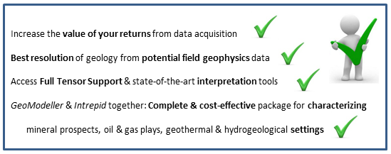
Now also offering comprehensive support for Full Tensor Gradiometry (FTG) and Falcon data
Premier software for QC, processing, filtering, leveling, gridding, interpreting, visualising and map making.
This is your industry trusted software - delivering results for over 30 years !
Project Manager
Import, Export, Access, Data Interchange
Import data from binary, ASCII, ASCII database and other industry standard formats
Directly process Geosoft, ERMapper, NetCDF, ESRI Shape and others in their native format
Export data in binary, ASCII, ASCII database formats, and more
GRAVITY: INTREPID specialises in Gravity Processing
Land based data reduction
Terrain correction, Field data reduction
Earth-tide, Free Air, Bouguer, Datum to Datum
Marine & Airborne processing
De-noising, Auto-decorrelation
Rating
Visits
514
Redirects
181
Don't Miss Out! Get the Best Deal on this Software - Email Us Now!