AccuLogs

Drive faster log research and play execution through cost-effective tools.
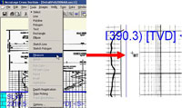
How do you access cross-sections to make better geological decisions for your area of interest?
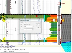
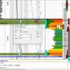
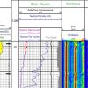
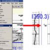
AccuLogs is a software program that allows users to access raster and digital logs from both the IHS Information Hub and AccuMap. In AccuLogs, you can easily view over 2.5 million depth registered raster well log images and digital LAS files annotated with DSTs, perfs and cores from original source documents for the Western Canadian Sedimentary Basin.
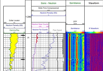
- Display all associated data visually to determine the nature of the subsurface using the log data
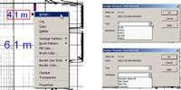
- Create presentation-quality cross sections to more effectively demonstrate potential plays
- Integrate proprietary rasters and LAS with public data to better determine pay potential
Rating
Visits
1,659
Redirects
475
Don't Miss Out! Get the Best Deal on this Software - Email Us Now!