GeoFrame ResSum

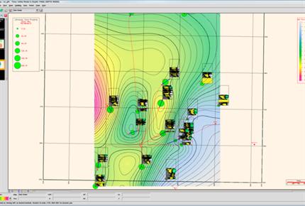
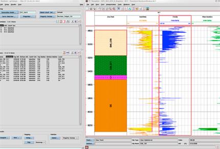

With ResSum zone properties averaging software, you can take the output from ELANPlus or Petroview Plus and calculate thickness and average properties in your reservoir intervals or zones. Zones are easily created in ELANPlus, PetroView Plus or with WellPix correlation software. ResSum allows you to define cut-offs on log curves and calculate thickness and average properties in each zone.
Features
- flexible combination of cut-off definitions for wells and zones
- hierarchical curve list that ensures your preferred curves are picked up automatically
- the ability to define optional discriminator curves with cut-offs applied at any stage of the calculations
- more than 20 properties computed in MD, TVD, TVT and TST indices
- a new simplified tab menu to easily choose which computations to make
- access to the zone Data Manager to review and edit computed results
- lithology computation - the ability to lump lithologies as output by LithoQuickLook, RockCell, and the Cross Section lithology Panel, the resultant lithology ratios and nets can be mapped, lithology definitions are defined by users in the applications creating them
- thin bed analysis - the ability to exclude from net beds thinner than a user supplied thickness and to exclude from non net beds greater than a certain thickness
- algorithm selection - users can choose the lumping algorithm they want, choices are the current weighted summation or a top or bottom inclusive discrete summation (with LOGOS), in addition the user is able to specify default processing for various indices, i.e. when computing TST props use TVT if TST is not available, use TVD when TVT not available, use MD when TVD not available
- core point matching - matched point core/log average comparisons for porosity, permeability, water saturation, and grain density are computed and recorded in the ResSum Output Report
- computation of new properties - movable Hydrocarbon Volume, Reservoir Water Saturation and Permeability are now computed
- sand/shale with discriminator - the discriminator curve is used, in the absence of a gamma ray or VShale curve, to determine sand/shale at the net stage, the discriminator curve may be any GeoFrame log, thus allowing sand/shale based on SP, caliper or anything else
Rating
Visits
1,418
Redirects
329
Don't Miss Out! Get the Best Deal on this Software - Email Us Now!