Geolog Geosteer

  • 2232.jpg
The Geolog® Geosteer® add-on module enables the geosteering expert to effectively edit and interpret logs in highly deviated wells, and model the Logging while Drilling (LWD) tool response. Geolog Geosteer works in collaboration with Sysdrill® Well Planning and Drilling Engineering applications. This provides a powerful log-scale interpretation capability that integrates petrophysical, geological, geophysical and drilling workflows. OPTIMAL PLACEMENT FOR EVEN THE MOST COMPLEX WELL PATH This integrated application group provides a well planning environment in which complex well paths may be designed and engineered for optimal placement in the reservoir, based on a combination of seismic, geological or reservoir data. Real-time WITSML™ data can be entered into an integrated database for visualization using the Paradigm® SeisEarth® 3D Canvas. Geosteering benefits
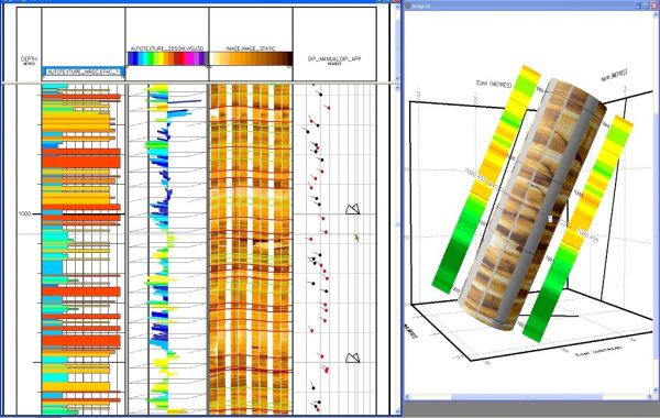
  • Geolog Geosteer gives users the independent ability to model, monitor and interactively modify a well in real time, independently of the LWD supplier.
  • Geosteer increases productivity, reduces drilling risk and optimizes wellbore positioning in the reservoir.
  • Geosteer is performed within the familiar Geolog user interface, and runs on Windows® and Linux® platforms.
  • Geosteer offers an effective way of interpreting log data in highly deviated wells.
  • Geosteering can be done at rigsite or at the office.
  • Support for WITSML real-time drilling data transmission using Paradigm OpsLink®.
  • The Epos® interoperability integration framework provides smooth workflows between drilling, petrophysics and geology/geophysics.
Rating
Visits
2,145
Redirects
502
Don't Miss Out! Get the Best Deal on this Software - Email Us Now!

.