P2 GIS
You need one version of the truth to ensure accurate land management. P2 GIS is a suite of ESRI® GIS extensions designed to organize, create, display, and manage geospatial enterprise data for land and lease recording. All P2 GIS extensions are kept current with the latest ESRI software, following an ARC GIS release.
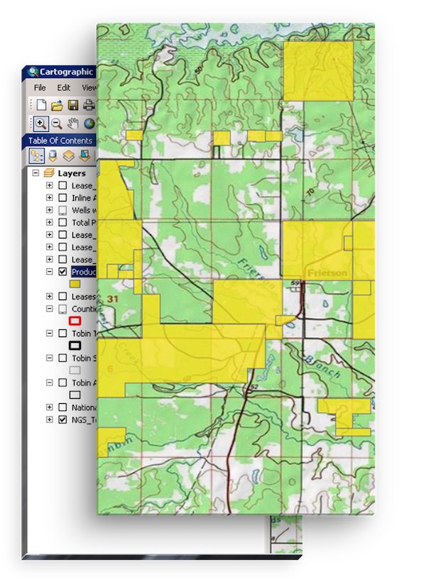
Cartographic Toolkit
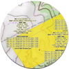
kkThe best cartographic maps are a catalyst to efficiency. P2’s Cartographic Toolkit (CTK) provides a comprehensive set of graphics that give you the control to create maps that are easy to interpret and modify.
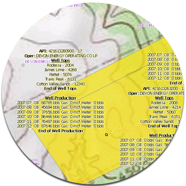
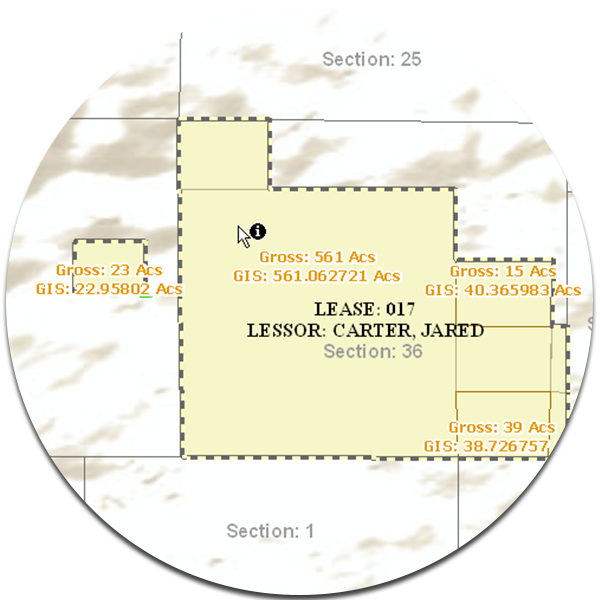
Spatial Data Creation
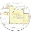
Tightly integrated with P2’s land management modules, Spatial Data Creation simplifies the complex process of maintaining well site activity and ownership. Graphical representation of critical dates, such as lease payments and vendor obligations, as well as clear representation of division of interest, enables you to streamline workflows.
Tobin Data Tools
You want to spend time on things that matter, such as cost-savings analysis and business analytics. Tobin Data Tools enable you to build the queries you need to explore data within ESRI Arcmap, optimize the value you realize from Tobin Map Data, and make informed business decisions.
Rating
Visits
1,494
Redirects
425
Don't Miss Out! Get the Best Deal on this Software - Email Us Now!