RASTER TOOLS
Transform Data
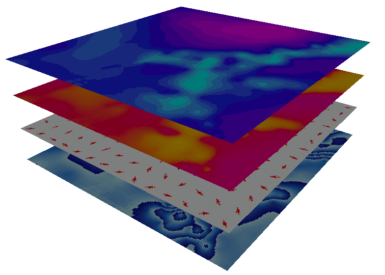
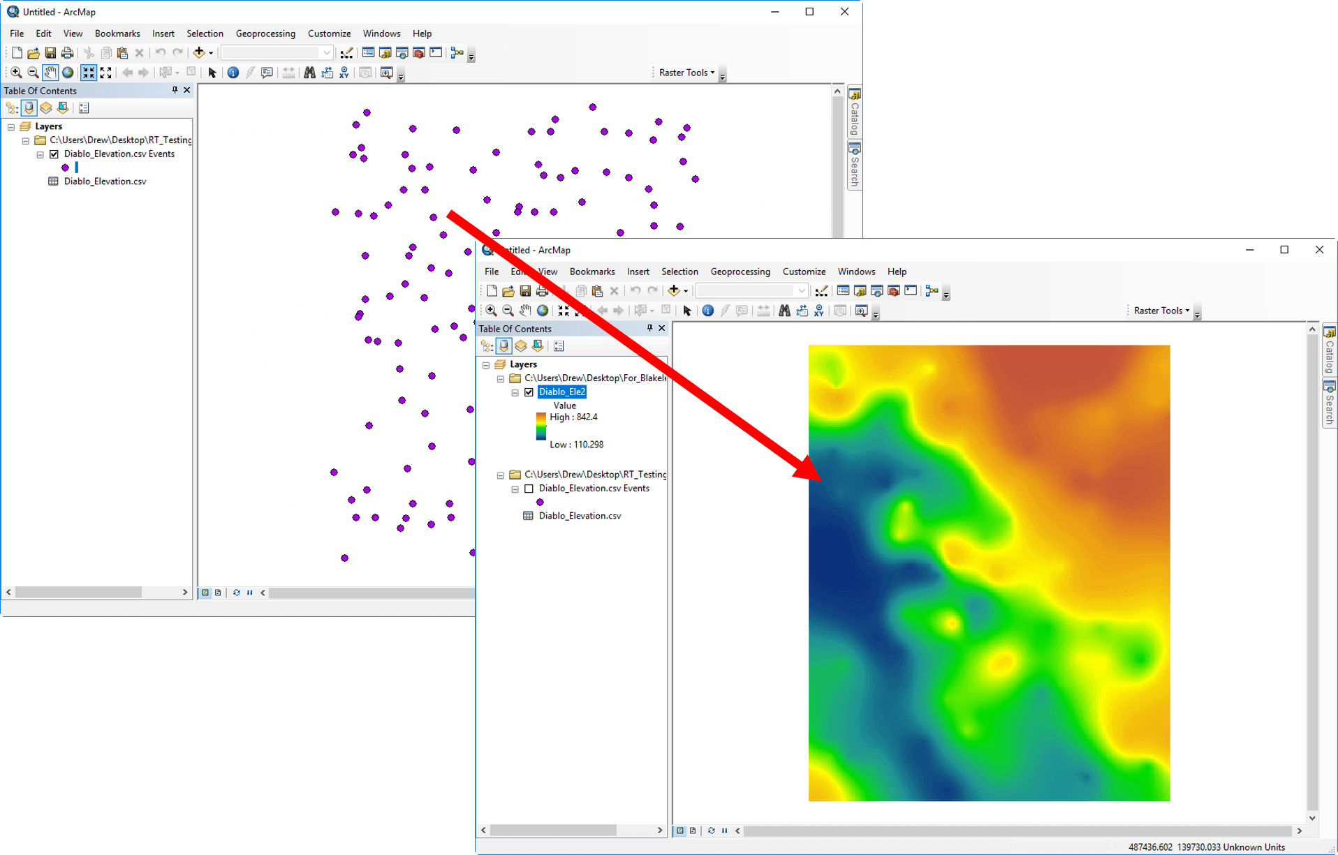
Create accurate and precise raster datasets. When you create raster datasets with Raster Tools, you will achieve more complete and accurate representations of your real-life data. Raster Tools, an Esri ArcGIS add-in, gives you more interpolation options and more control interpolation parameters. Represent your data at its best with Raster Tools.
Trusted Solution
Raster Tool’s interpolation algorithms are the same, well-known algorithms found in Surfer, our 2D and 3D mapping, modeling, and analysis program. These algorithms have helped scientists and engineers across the globe transform point data into high-quality raster data sets, ready to be mapped and modeled.
Rating
Visits
1,622
Redirects
300
Don't Miss Out! Get the Best Deal on this Software - Email Us Now!