Directory: Random Listings
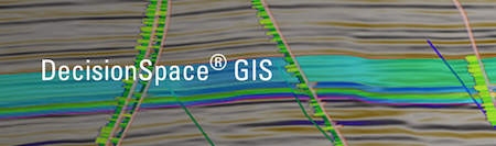
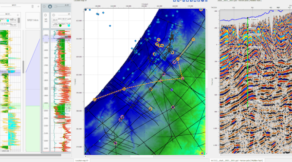
Geospatial Context for Interpretation
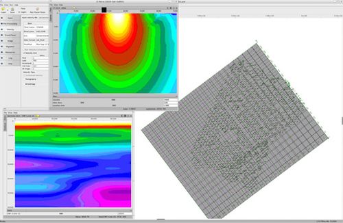
E&P professionals in many domains need GIS data to visualize cultural data, satellite images and leases, set the geospatial context for interpretation, map play fairways, plan optimal well locations, and assess environmental impact. Built on industry-leadin ...
Read More ...

Xodus Group’s proprietary application makes the analysis and management of maintenance data more transparent, accessible and efficient. Significant savings are a result of completing activities faster using XMAINT’s highly intuitive interface combined with its advanced toolset for creating maintenan ...
Read More ...
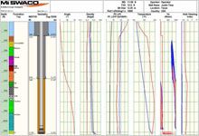
Advanced software suite that helps maximize drilling fluid performance and minimize drilling costs
Our integrated suite of VIRTUAL HYDRAULICS ECD and ESD management software are used to evaluate and design critical drilling hydraulics under simulated downhole conditions. By monitoring and predictin ...
Read More ...
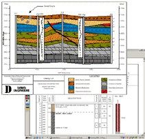
QuickLog
QuickLog greatly speeds and simplifies the process of creating boring logs (borehole logs)/well lithology. Completely menu driven, QuickLog is intended to be used by geologists or data entry staff members to create boring logs diagrams without the need for a CAD system.
New TABLET PC Vers ...
Read More ...
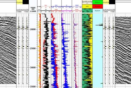
Elastic Properties
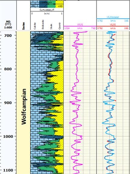
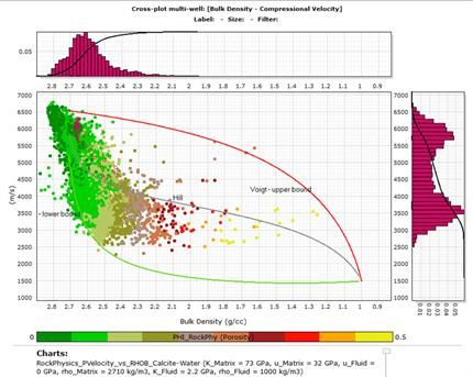
The analysis of petrophysical data can be achieved by the computation of the rock elastic properties, elastic impedance and extended elastic impedance. The resulting outputs are valuable for fluid and lithology prediction.
Gassmann Fluid Substitution
The fluid substitution proc ...
Read More ...

The Innovative Reservoir Simulation Software XXSim is an EOS based general purpose compositional reservoir simulator with fully implicit formulation. It allows any components to appear and stay in any fluid phases (aqueous, oilec and vapour ).
In other words, it uses three-phase flash to allow ligh ...
Read More ...

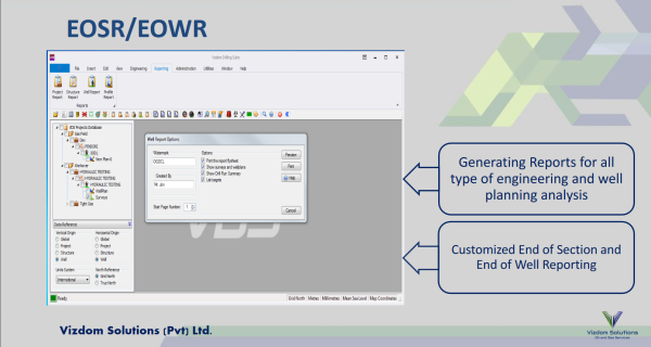
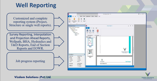
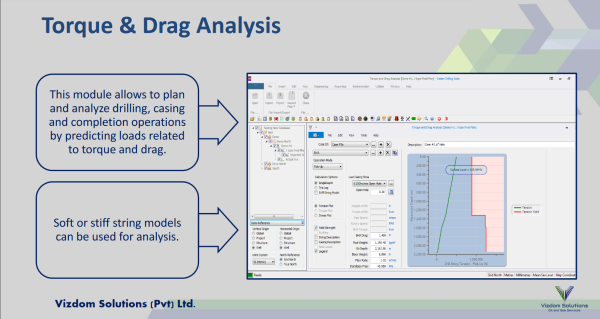
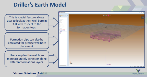
VDS™ is a software platform for Petroleum Engineers, Drilling Engineers and Drilling Supervisors for well bore planning, construction and optimization. Our Software has been designed to have user friendly interface where users can optimize drilling trajectories quickly based on cost, torque and drag ...
Read More ...
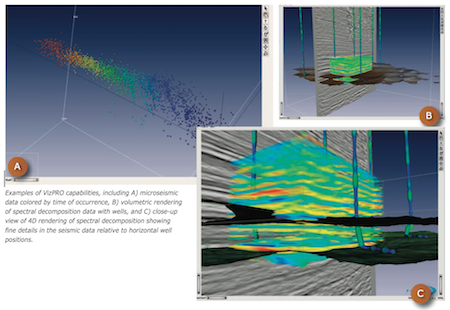
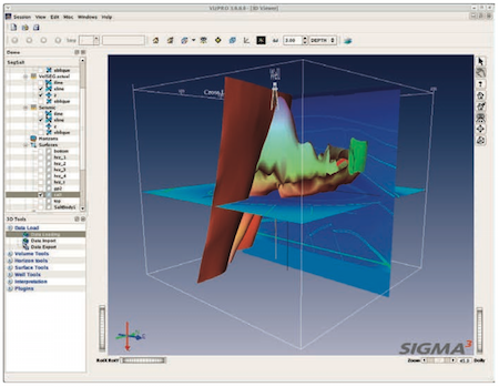
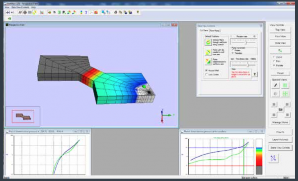
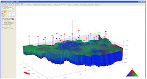
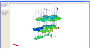
VizPRO Visualization Solution
VizPROTM is an advanced visualization tool for interactive interpretation, analysis and model building, and integrates with all data generated in the GeoPROTM environment. VizPRO leverages the power of 3D visualization to provide interactive solutions to the most compl ...
Read More ...
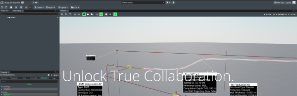

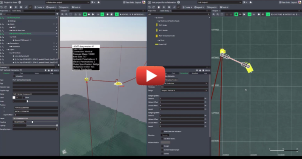
More collaboration. Better results.
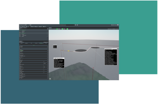
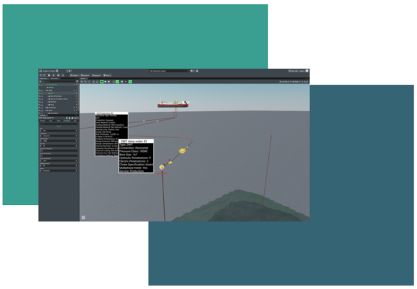
FieldTwin Collaborate allows multiple companies, operators and EPCs alike, the ability to work together with the industry’s most advanced visual workflows. The platform allows open communication and higher levels of engagement throughout the entire design process ...
Read More ...
g-Platform™ – seismic data processing software
Geomage g-Platform™ is the most innovative, interactive and advanced software for processing and imaging seismic data of any type and format. The software based on latest developments in software and hardware technologies, can run Windows or Linux and ...
Read More ...
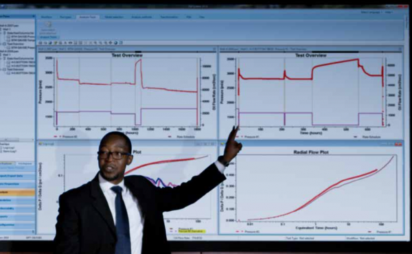
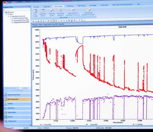
PanSystem® Popular
PanSystem®. WELL-TESTING ANALYSIS SOFTWARE
PanSystem® software has been the industry’s leading well-test analysis program for more than 20 years. It is a robust yet easy-to-use software tool that provides multiple options for models and analysis. These options include industry standards as well as ...
Read More ...
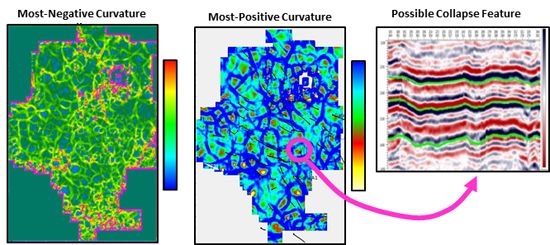
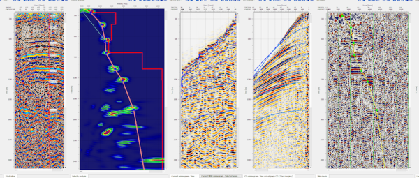
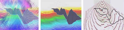
Highlight fracture zones and collapse features
Attributes are conveniently grouped within a single application. These include:
Stratigraphic
Instantaneous
Horizon-based
Layer-based
Spectral Decomposition
Geometric
Coherence
The geometric and coherence attributes incorporate Jason dip-st ...
Read More ...
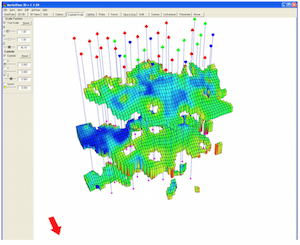
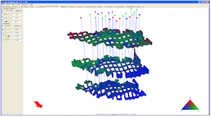
MerlinView3D is a 3D modeling extension of the Merlin Reservoir Simulator that allows users to view the inplace oil and gas in a 3-dimensional representation of the oil and gas reservoir.
A USER-FRIENDLY SOLUTION
MerlinView3D is a result of our informal alliance with creator Sciencesoft—our 3D vis ...
Read More ...
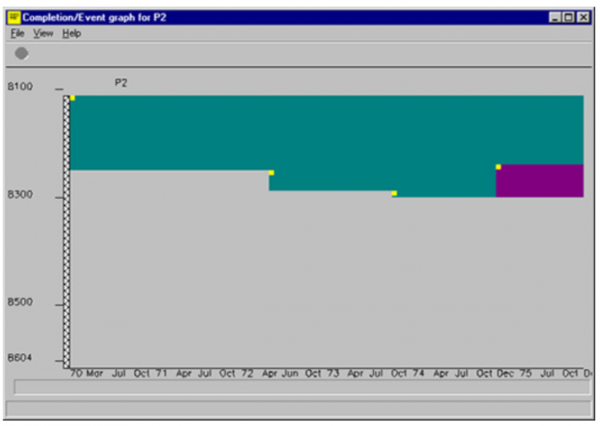
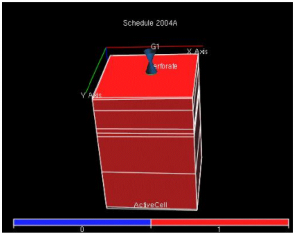
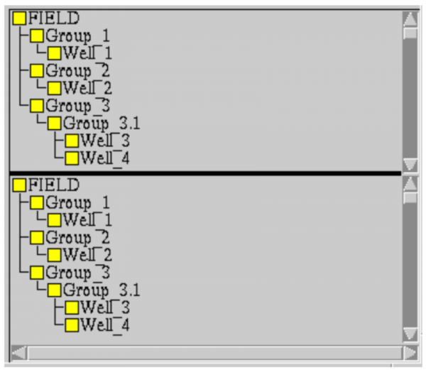
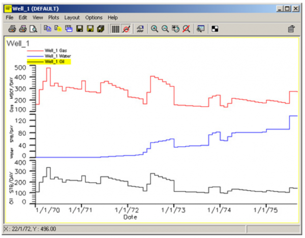
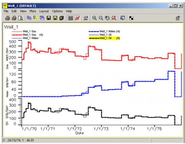
Schedule is an interactive program for preparing, validating and integrating production and completion data for use in a reservoir simulator. Schedule imports production data from ASCII files (including Production Analyst and OilField Manager format, and the Finder Schedule-Loader files). You can, a ...
Read More ...
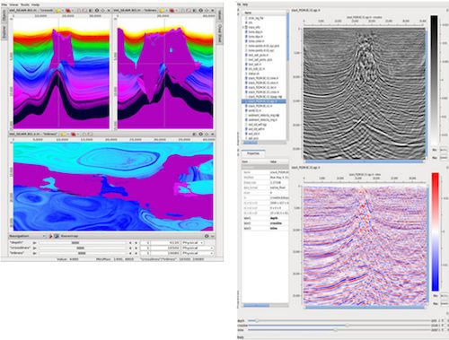
Kirchhoff methods are widely recognized as one of the most comprehensive and flexible methods of imaging prestack 3-D seismic data. ZTK is Z-Terra’s implementation of three-dimensional Kirchhoff migration in depth and in time. ZTK images seismic data by approximately solving the wave equation with a ...
Read More ...
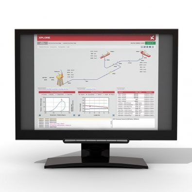
XPLORE is an app created by Xodus Group for upstream oil and gas operators to collect, process and deliver accurate production and equipment data. XPLORE collects Independent of all control systems, plant historians and simulation packages, XPLORE collects existing production and simulation data in ...
Read More ...

CGM Office software is intended for viewing, editing and printing of CGM, CGM + and CGM-Pipe graphic files.
CSR and the preservation of our planet have always been one of our major concern. Through RB.eye, Fame+ and orKsoft® and their ability to prevent extremely damaging incidents, we have tried for 17 years to improve the safety of Oil&Gas, Petrochemical and Power production to reduce the impact of ...
Read More ...
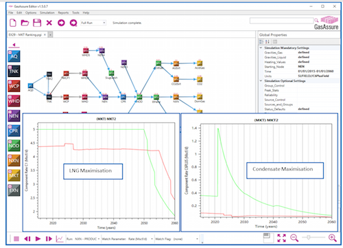
Oil and Gas Deliverability Modelling & Production Forecasting Use compositional and black oil models to predict the performance of a group of oil and gas reservoir, and calculate field and reservoir production profiles using individual well profiles and drilling sequences with facility constrain ...
Read More ...
Improving safety and maximising well availability
Leveraging software systems to support well integrity
Well integrity management is essential to safeguard production, reduce the risks associated with field operations and ensure sound environmental stewardship. This can be achieved through collati ...
Read More ...