Directory: Random Listings
Generate accurate and reliable forecasts for CBM plays
Do your current forecasting tools factor in the unique needs of CBM plays?
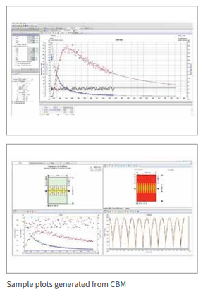
IHS CBM (coalbed methane) software lets you forecast and estimate reserves for new or producing CBM plays. Calculate original gas-in-place, expected ultimate recovery a ...
Read More ...
Read and write DLIS data direct from tape or a downloaded tape image file (tif file).
EZDLIS transfers log data from Schlumberger's DLIS formatted data sets or tapes to LIS or ASCII files suitable for import to various Log Analysis Systems. EZDLIS provides access to all of the common data objects a ...
Read More ...
RESOLVE has been developed as a master controller to communicate and control the link between Reservoir Simulators, Process Simulators, other third party software, as well as client proprietary tools and the IPM suite.
RESOLVE: Features - Main
Application to connect and run integrated models com ...
Read More ...
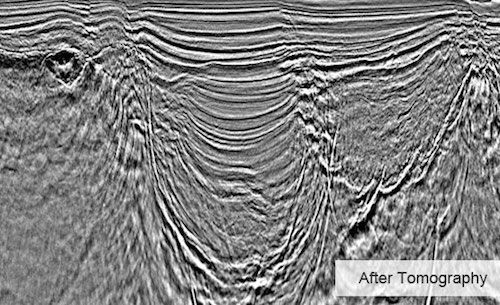
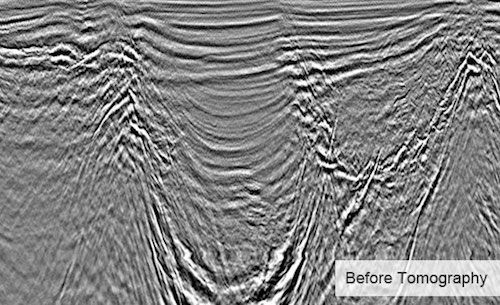
Obtaining high quality images of subsurface structures requires an accurate velocity model. Migration Velocity Analysis (MVA) improves the velocity model associated with a survey in order to create an accurate image of subsurface structures. After seismic data has been migrated through its current i ...
Read More ...
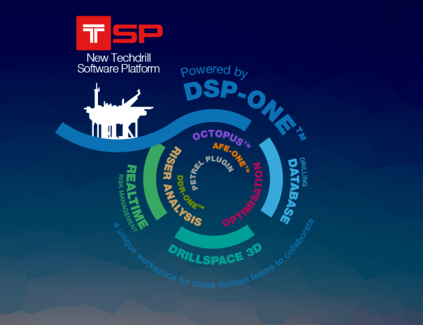

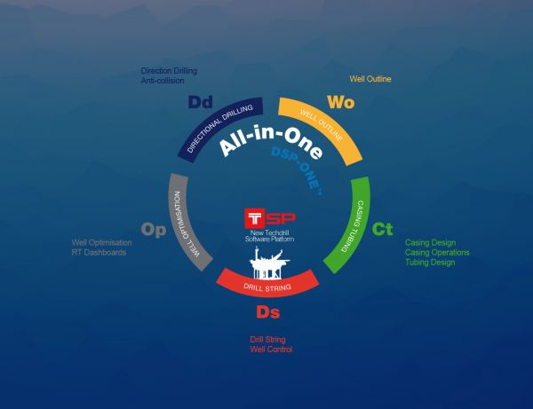
Overview of the DSP-One© Next Generation
Techdrill's next generation DSP-One© suite of applications represents the foundation of the new Techdrill's well construction platform, TSP.
DSP-One©, brings disciplines together with best-in-class applied science in an unparalleled productivity framework. ...
Read More ...
GeoPRO Geophysical Platform
GeoPROTM is an integrated XML-based software platform that runs on the LINUX operating system. The platform provides a software environment that includes the VizPROTM visualization package, VelPROTM a unique velocity analysis and model building toolkit, as well as Kirchh ...
Read More ...

Diffraction Imaging (DI) is a novel seismic imaging technique for focusing diffractions in order to produce super-resolution images of diffractors unattainable by conventional means. Seismic diffractors are small scale scattering subsurface elements such as small faults, fault edges, pinch-outs, sal ...
Read More ...
Archive of thin-plate and thin-shell finite element programs written by Peter Bird at the University of California in Los Angeles (UCLA).
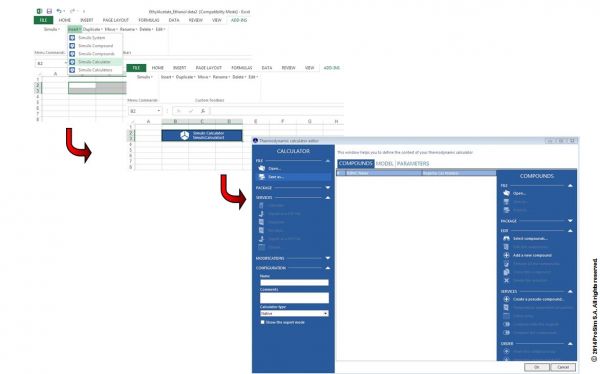
Mixture properties and fluid phase equilibria calculations
Interoperability, integration, reusability. Simulis Thermodynamics allows anyone in industry, engineering or research to run high quality thermophysical properties calculations. These calculations can be plugged in any software of wider app ...
Read More ...

Core and Core Data is a valuable asset and an integral part of the exploration business. It contains important information necessary for petrophysical analysis, depositional modelling, static modelling and reservoir quality modelling.
Exploration risk is directly impacted by the use of core data. A ...
Read More ...
IMpulse™ Popular
is the software application developed by Intelligent Solutions, Inc. for "High Frequency Data Curation & Management" & "Real-Time Monitoring, Analysis and Modeling of Wells" & "Real-Time Reservoir Management". IMpulse™ provides a comprehensive workflow for the development of Intelligent ...
Read More ...
Steady-state simulation and optimization of processes
ProSimPlus is a process engineering software that performs rigorous mass and energy balance calculations for a wide range of industrial steady-state processes. It is used in design as well as in operation of existing plants for process optimizat ...
Read More ...
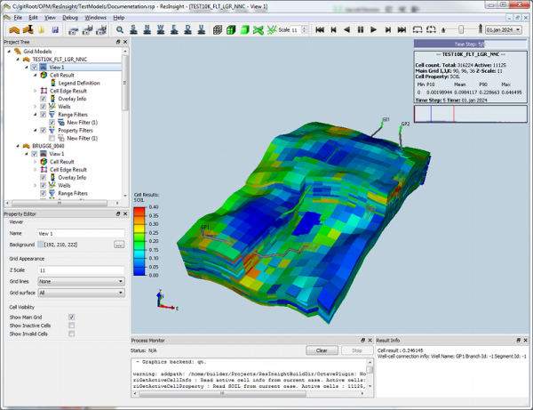
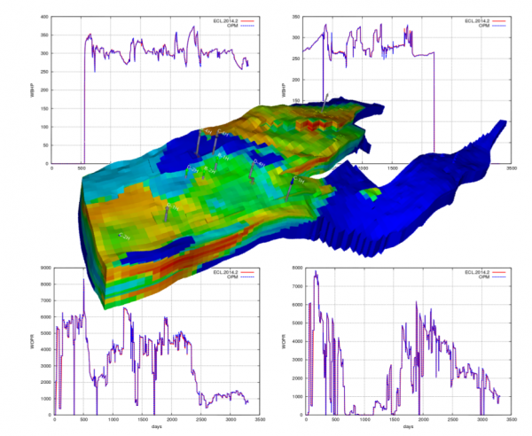
The Open Porous Media (OPM) initiative encourages open innovation and reproducible research for modeling and simulation of porous media processes.
OPM coordinates collaborative software development, maintains and distributes open-source software and open data sets, and seeks to ensure that these ar ...
Read More ...
Born from the idea that convenience is the greatest gift an engineer can receive, the Reservoir Data FASTRACK is a time saving tool that brings your operation’s data to you, no matter where you are. Throughout the use of any Reservoir Data Systems tools, the user will have the option to be directly ...
Read More ...

Data Management Provides standardised, structured, and organised simulation data and project documentation. Process Delivers an intuitive environment/cockpit for simulation engineers to edit/manipulate, copy, run, track, document, view, and analyse models. Insight Monitor models and compare results ...
Read More ...
ST Nitrogen Calculator Popular
ST Calculator is the only mobile tool that allows to plan any well purging, Nitrogen lifting, or downhole pressure calculation.
This tool is unbeatable application for Petroleum Engineers, Coil Tubing Supervisors, Nitrogen Pump Operators, you list them!
Try for free and see what it does! You do no ...
Read More ...

An ever-increasing amount of data acquired on the rig, including multiple data types from multiple sources, must be aggregated in your software platform in real time for rapid analysis. Today’s operational needs require scalability, security, and data quality as raw data are captured and integrated ...
Read More ...


Innovative and flexible geologic interpretation and mapping system for onshore and offshore plays.
DecisionSpace Geology software is designed to keep pace with today's aggressive drilling programs, the application moves beyond static and linear workflows to provide a "live mapping" solution that th ...
Read More ...
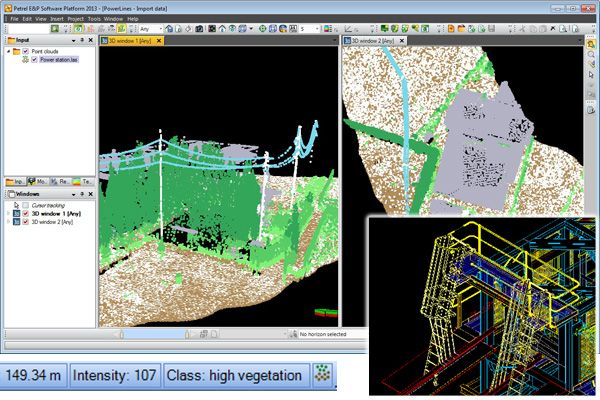
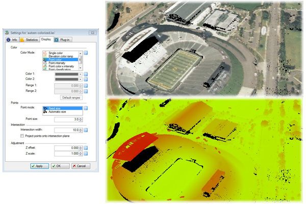
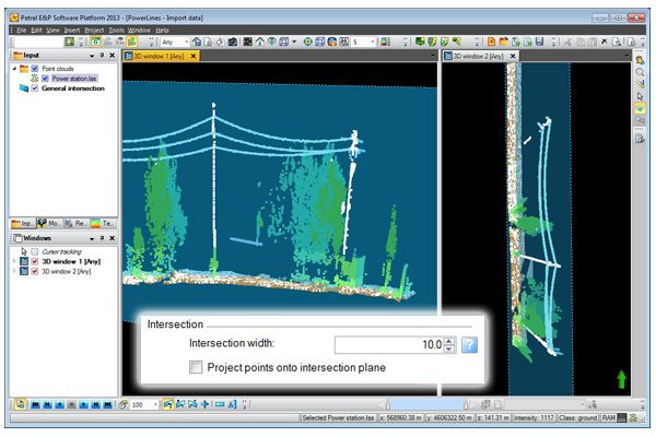
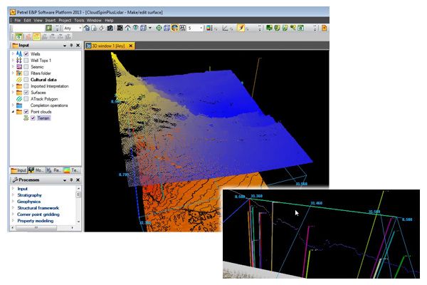
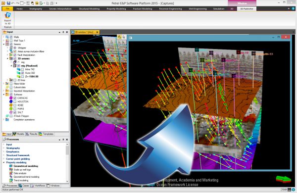
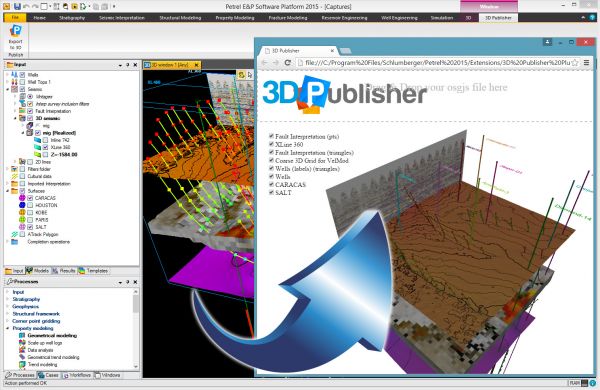
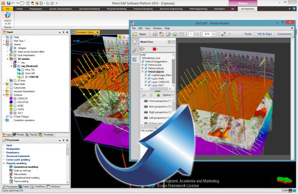
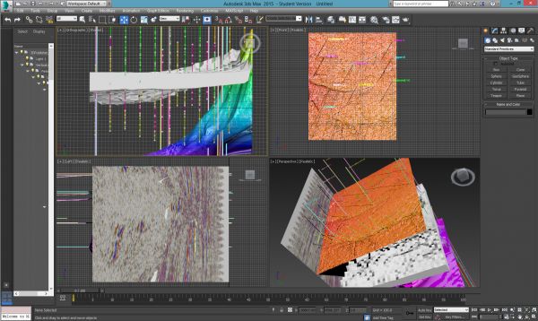
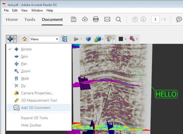
PointCloudViz Popular
PointCloudViz is a Petrel Ocean plugin providing seamless integration of laser scanner (LiDAR) and other large point cloud data in Petrel, allowing interactive display and inspection of terrain surfaces, facilities and other 3D elements. * Load LiDAR and point cloud data from the most common formats ...
Read More ...