Directory: Random Listings
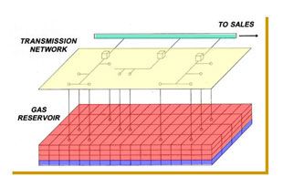
Fairchild and Associates are fully competent in reservoir simulation modeling and has experience with a variety of software packages. The company has proprietary software, SIM.GALIS. Other software packages can be licensed if preferred by the client. The software available in-house is described belo ...
Read More ...

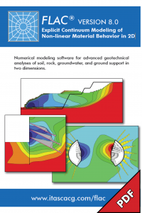
FLAC, Fast Lagrangian Analysis of Continua, is numerical modeling software for advanced geotechnical analysis of soil, rock, groundwater, and ground support in two dimensions. FLAC is used for analysis, testing, and design by geotechnical, civil, and mining engineers. It is designed to accommodate a ...
Read More ...

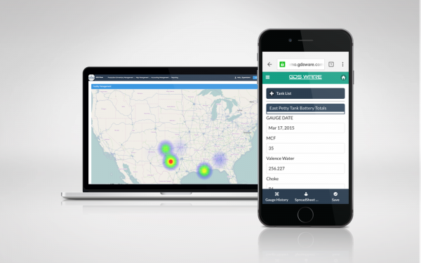
Production Data Analytics help companies decrease OPEX by providing decision makers with the insight on how to boost production and prevent downtime.
Analyze Relevant Data in Real-Time
Aggregate Information from Multiple Data Sources
Optimize Production
Reduce Downtime
Create Production Visib ...
Read More ...
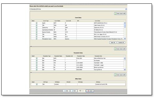
Read and write DLIS data direct from tape or a downloaded tape image file (tif file).
EZDLIS transfers log data from Schlumberger's DLIS formatted data sets or tapes to LIS or ASCII files suitable for import to various Log Analysis Systems. EZDLIS provides access to all of the common data objects a ...
Read More ...
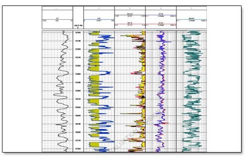
E-FACIES partitions the well log data before building correlation and is based on Multivariate Analysis of Well Logs. Generally a suite of well logs can provide valuable but indirect information about mineralogy, texture, sedimentary structure, fluid content and hydraulic properties of a reservoir. ...
Read More ...

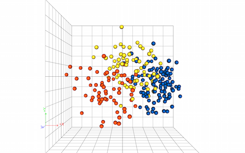
With the multiRuns plug-in, studioSL offers a unique solution for reservoir engineers and geoscientists to easily work with an ensemble of models. This workflow is ideally suited to the multiple simulations required for sensitivity analysis, screening, and assisted history matching, where global par ...
Read More ...


Oilfield service supply organizations are under increasing pressure from customers to comply with the requirements of the API Specification Q2 standard. The second edition of the standard, focusing on service-related activities including well construction, intervention, production, and abandonment, ...
Read More ...
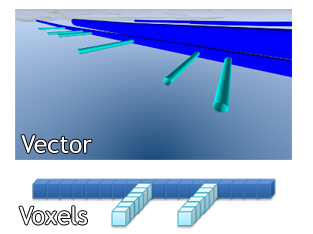
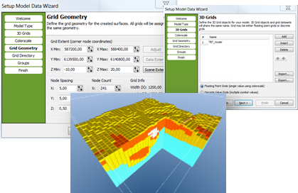
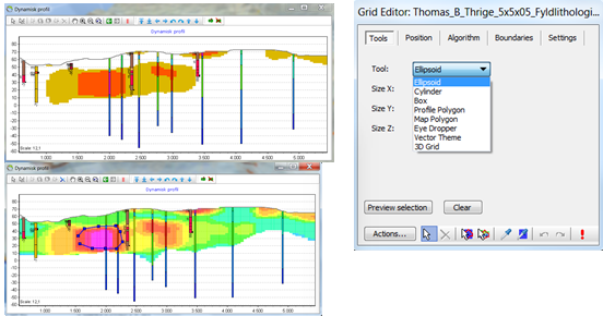
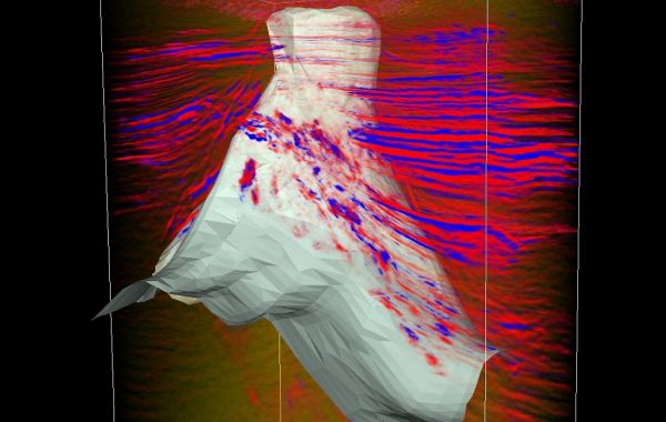
Voxel Builder
Voxel Builder is a specialized add-on module tool for building voxel models in GeoScene3D. The module is well suited for geoscientists in public and private organizations working with engineering geology, groundwater, soil contamination, surface near water flow in the field of WSUD an ...
Read More ...
DI TRANSFORM OVERVIEW The time to streamline multiple analytical tools into a single, cost-efficient platform has never been better. Built by geoscientists specifically for the oil and gas industry, this solution does the heavy analytical lifting for you so that all members of your team can interpre ...
Read More ...
Surface Modeling, Mapping & Design
GWN-SURF is an ideal application for surface modeling and mapping projects. GWN-SURF is a world class surface modeling package, with advanced contouring, profiling and slope analysis capabilities. GWN-SURF is available as an AutoDesk or MicroStation add-on pro ...
Read More ...
Drive continuous improvement across your entire well construction activity
RigHour* drilling operation efficiency analysis delivers an accurate understanding of drilling operation performance across single and multiple wells by computing and comparing drilling-specific KPIs. Drilling organizations ...
Read More ...
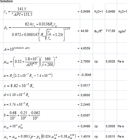
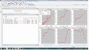
This spreadsheet calculates density and viscosity of a crude oil. Software to calculate some oil properties parameters. Easy to use because using macros and the view is very familiar, using Microsoft Office Excel.
The input parameters of Oil Properties Spreadsheet
Pressure (p): 4475 psia
Temper ...
Read More ...
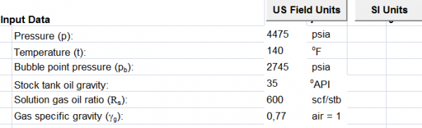
To bridge the gap between seismic data obtained by remote sensing at surface and petrophysical data obtained by direct measurements in a wellbore, we implement the use of rock physics models.
Rock physics provides the relationship between rock properties such as porosity, mineral fractions and wate ...
Read More ...

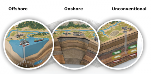
Ocean – risk assessment and decision support system
Data integration and decision support system is designed to support offshore industry experts with handling and extracting valuable information from metocean data easily and efficiently for ice distribution, waves, wind and ocean currents.
Key ...
Read More ...
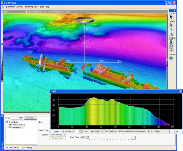
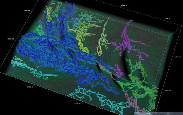
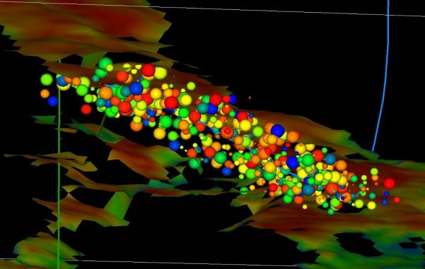
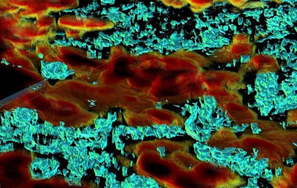
Fledermaus is a powerful system of interactive visualization of 3D data used for various applications, including environmental impact assessment, mining, geology and scientific research.
Innovative data mining functions, including ShiftScape TM rendering engine and the Bat (3D input device), allow ...
Read More ...
Oil and Gas Deliverability Modelling & Production Forecasting Use compositional and black oil models to predict the performance of a group of oil and gas reservoir, and calculate field and reservoir production profiles using individual well profiles and drilling sequences with facility constrain ...
Read More ...

DNA sequencing combines the benefits of many diagnostics into one economical approach to determine hydrocarbon fluid movement. It is a high resolution data source that provides 4D analysis across the production lifecycle which does not introduce environmental risk or require downhole tools.
BENEFIT ...
Read More ...

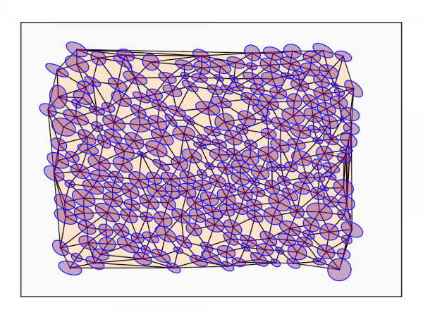
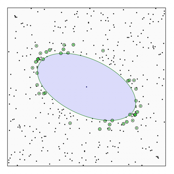
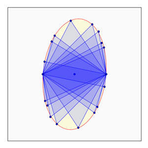
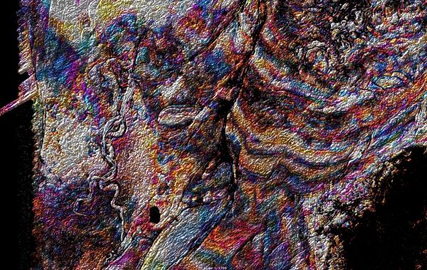
EllipseFit is an integrated program for geological finite strain analysis. It is used to derive two and three-dimensional strain from oriented photographs of thin sections, hand samples, or outcrop surfaces, and is designed for laboratory and field based structural geology studies. The intuitive gra ...
Read More ...
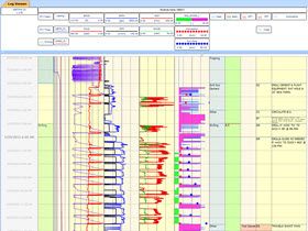
CoreLog is a log analysis and petrophysical modeling application, based on industry standard models, used for calculating petrophysical properties of a well(s). It calculates several properties, such as porosity, permeability, volume of shale and others on a zone or well basis. CoreLog gives the use ...
Read More ...
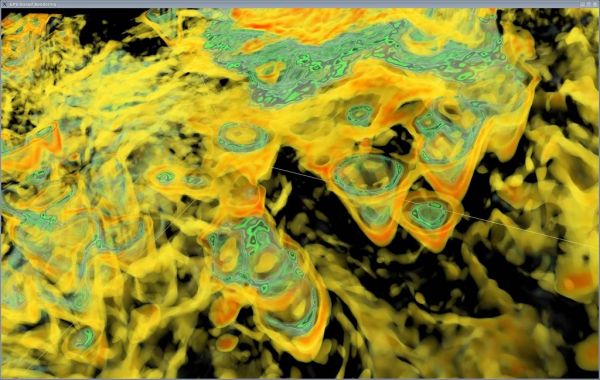
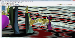
The industry standard for voxel volume interpretation. The first of its kind in the industry, Paradigm® VoxelGeo® empowers users to dive deep into 3D seismic datasets for a complete understanding of the subsurface geology. Powerful, with versatile and unique 3D opacity visualization capabilities, Vo ...
Read More ...