PointCloudViz Popular
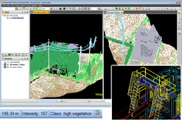
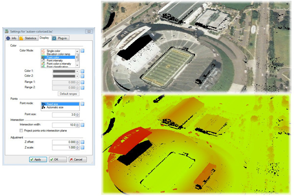
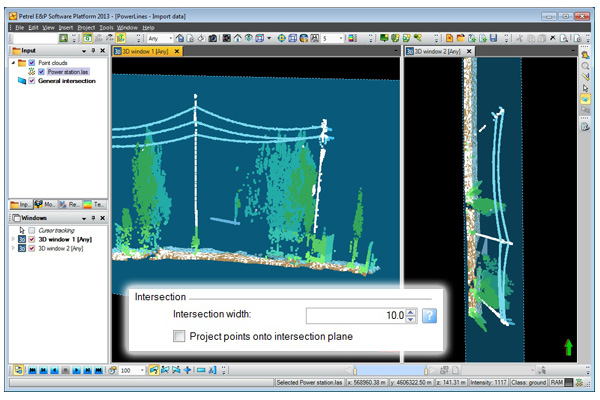
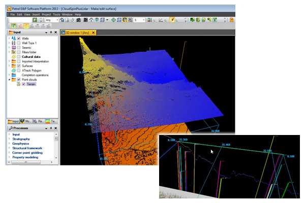
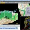
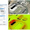
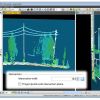
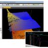
PointCloudViz is a Petrel Ocean plugin providing seamless integration of laser scanner (LiDAR) and other large point cloud data in Petrel, allowing interactive display and inspection of terrain surfaces, facilities and other 3D elements. * Load LiDAR and point cloud data from the most common formats: .LAS, .LAZ and plain text. * Visualize data together with any other Petrel-supported objects in multiple 2D and 3D windows. * Projection from any coordinate reference system. * Multiple display options. * Integrated with Petrel data exploration tools like intersection planes and picking, and with annotation and editing tools * Supports display of color per point in all formats. * Supports intensity, color x intensity and material classification in LAS and LAZ formats. * No size limit for input data. Disk space required for data pre-processing depending on input size.
Rating
Visits
3,952
Redirects
923
Don't Miss Out! Get the Best Deal on this Software - Email Us Now!