FloGrid
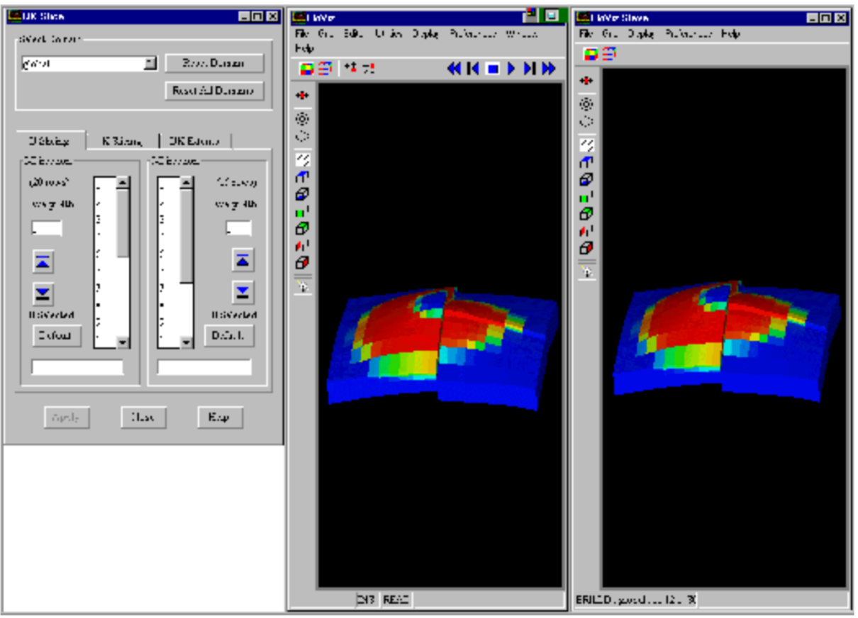
FloGrid is an interactive application designed to build high quality reservoir models from interpreted geological and geophysical data for reserves estimation, fluid flow simulation using ECLIPSE, and reservoir development planning. The core 3D structured corner point gridding and upscaling technology employed is recognized to be one of the most advanced, robust and reliable in the engineering and petroleum industry for the construction of reservoir simulation models.
This is augmented by advanced geostatistical property population methods, detailed fault transmissibility computation, and a simulator interface for the creation, conditioning and calibration of reservoir models. Drillable wells and laterals can be easily located and quickly simulated to evaluate reservoir development options.
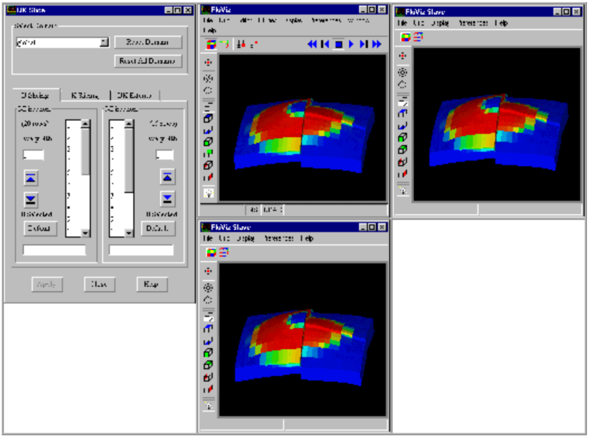
FloGrid has basic structural modeling capabilities that are complemented by the ability to interface with external geological modeling packages. FloGrid receives 3D geological models delivered in the POSC standard RESCUE format from all vendors that are able to export in this format. Traditional 2D workflows are also supported through the mapping canvas.
Multiphase and multilevel upscaling techniques are available for generating relative permeability and capillary pressure curves that are strongly coupled to the underlying geological model. Unstructured grids can be generated and properties upscaled for simulation of both full field and detailed well models.
Rating
Visits
1,445
Redirects
199
Don't Miss Out! Get the Best Deal on this Software - Email Us Now!