GeoPlot
What is GeoPlot?
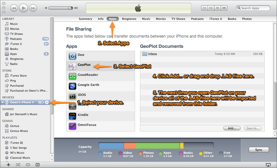
GeoPlot is a well management and geological survey application for iOS devices. Import well log files in LAS 2.0 format to GeoPlot through mail or using iTunes. Create plots from imported logs then annotate, adjust depth settings and scale, view two plots for side by side and adjust the offset between those plots.
Share plots by exporting them as a PDF file that includes any annotations that have been made to the plots.
Log Management
GeoPlot allows you to import LAS files from multiple wells and helps you keep them organized. Recent plots, newly added logs and the ability to flag plots for quick access in the future ensures that you have the information that you need when you need it.
GeoPlot automatically groups logs together by the well name contained in the log file. Once a log is imported you can quickly access the parameter and header information included in the log.
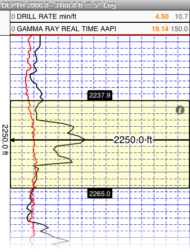
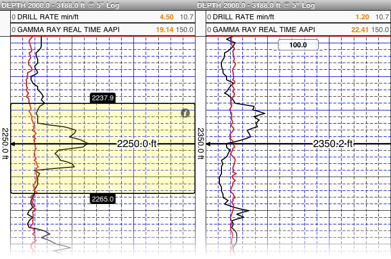
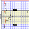
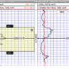
Plots
Plots are a core feature of GeoPlot. Multiple plots can be created from a single imported well log and each plot can have a different depth curve, curves traces, annotations and scale settings.
Scroll through plots using the touch based scrolling or quickly jump to specific depths in the plot that you have previously annotated with the annotation tool.
Rating
Visits
1,217
Redirects
276
Don't Miss Out! Get the Best Deal on this Software - Email Us Now!