SMITH
2D MAPPING AND VISUALIZATION MODULE
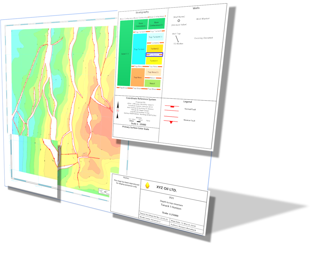
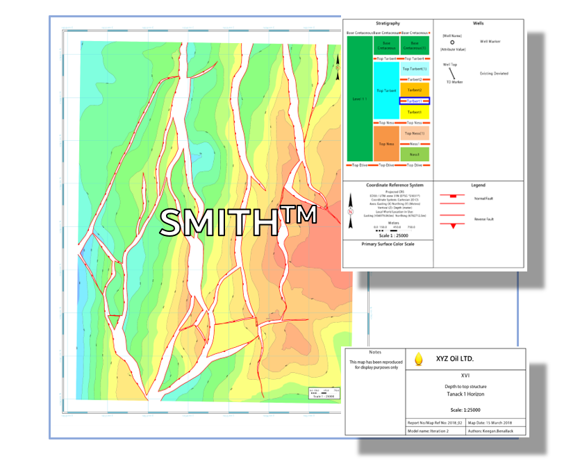
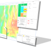
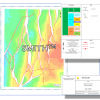
COMPILE PROFESSIONAL, PUBLICATION QUALITY SUBSURFACE MAPS QUICKLY AND REPEATEDLY WITH COGNITIVE GEOLOGY'S INNOVATIVE 2D GEOSPATIAL MAPPING SOLUTION
SMITH is a new age map design and rendering tool developed to support the visualization and publication of 2D geoscience spatial data throughout the workflows supported by industry-leading E & P software platforms.
FLEXIBLE WORKSPACE
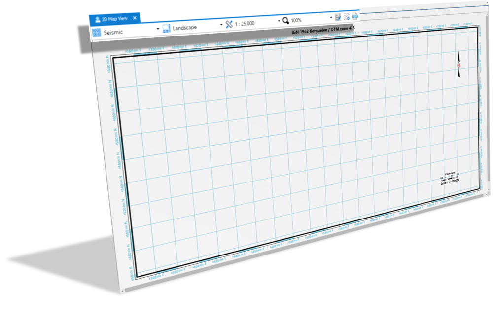
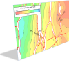
SMITH provides a truly modern environment in which to create high quality, publication ready subsurface maps. Emphasis has been placed on the simple and intuitive user experience, avoiding the extraneous functionality and the cluttered, feature focussed display that many modern cartographic tools provide.
USER-DRIVEN DESIGN
SMITH's layout-driven solution manages the placement of map framework elements including borders, gridlines and legends, allowing the user to focus on assembling content driven, visually appealing maps with minimal interaction
DIVERSE RENDERING CAPABILITIES
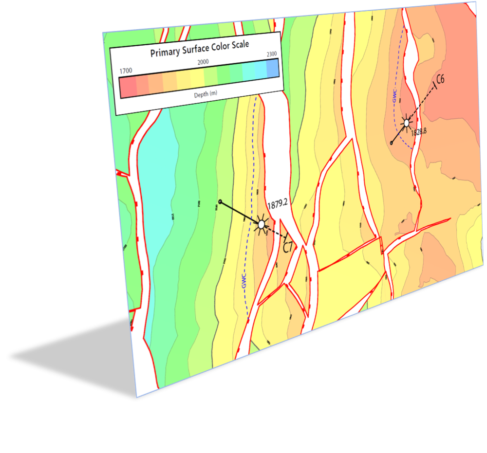
SMITH's powerful rendering and display functionality supports the wide array of data display types available in most industry leading E&P software platforms, delivering essential map assembly and publication capability to detailed data interpretation and modelling workflows.
Rating
Visits
763
Redirects
178
Don't Miss Out! Get the Best Deal on this Software - Email Us Now!