GEONAFT
“Geonaft” is a modular software package intended for comprehensive engineering support for directional and horizontal wells drilling aimed at the most successful bore positioning in a target horizon.
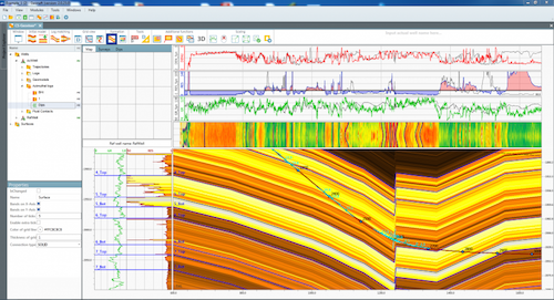
SP “Geonaft” allows determining the well stratigraphic position while drilling as well as to forecast the change in the structure formation.
The modern software systems allow constructing detailed 3D static geological model for planning the horizontal wells. But after new data receiving while drilling, its rapid analysis and the decision to adjust the well path in order to minimize losses of drilling a wellbore in an unproductive area is of special importance.
SP “Geonaft” allows performing the following tasks:
- Geosteering modeling with synthetic curves of well log which are planned to be written while drilling.
- Combining the structural subsurface model, petrophysical and logging data in the united concept for geosteering of the well.
- Forming up reports on the geo-steering progress, and recommendations for drilling.
- Decision making on the well path based on the comparison of synthetic and actual log data.
- Optimization and adjustment of the paths of horizontal/inclined wells.
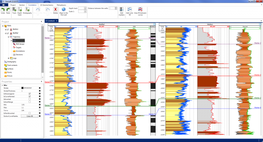
- Interwell correlation building.
- Visualization of data in in three-dimensional space.
- Petrophysical data analysis.
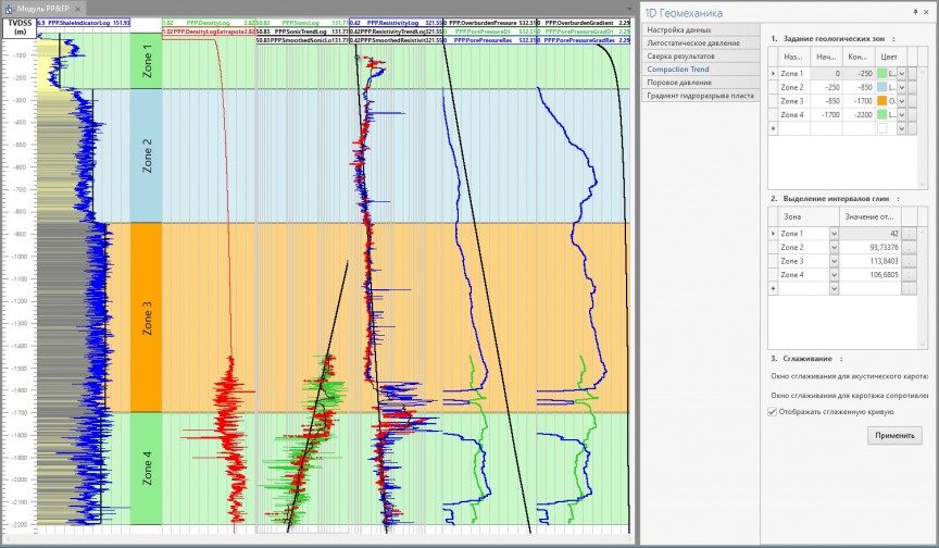
- Geomechanical model building.
- Forming up the final report.
“Geonaft” allows solving all of the above mentioned tasks at a close to real time speed (the only limitation is the speed at which the user loads new data).
For more detailed information see the corresponding sections of this website, describing each of “Geonaft” software package modules.


