eXchroma SG Popular
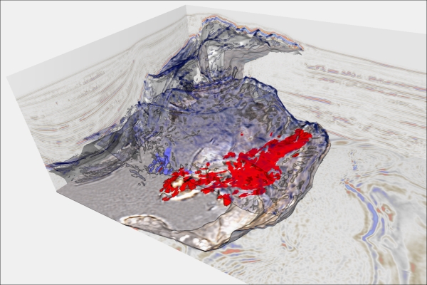
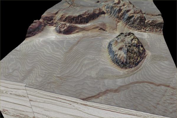
Delineation of karsts, Minagish Kuwait
Flattening the seismic cube on the top Shuaiba allows enhanced mapping of the karst features. Surface features shown in reddish tones and deeper vertical features marked in bluish tones. El-Emam et al. (SEG 2013)
Plug-in Overview
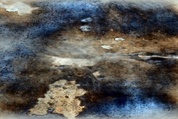
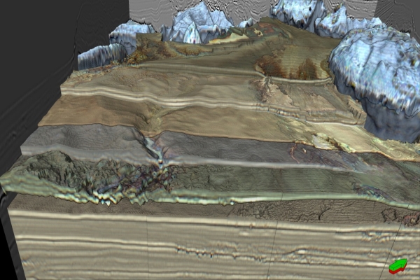
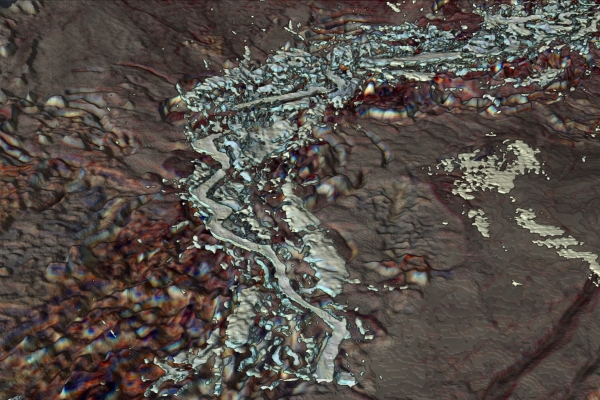
Designed for the interpretation geologist & geophysicist, eXchromaSG allows you to interrogate your 3D seismic data and isolate important geologic details. It does this by processing seismic data as points not wavelets, thereby achieving enhanced seismic sample resolution. Geologic features previously indiscernible can now be seen in detail, in 3D.
Specifications
Requirements
- Petrel 2014.x, 2015.x or 2016.x
- Petrel Geoscience Core or Petrel Combined Core
- Petrel Seismic Interpretation module
- Petrel Seismic Volume Rendering and Extraction module
Applications
- Produce a Petrel ZGY 3D volume that can be analyzed for geologic features and processes
- Drilling hazard identification and unstable seafloors
- Active faults, fault scarps, and gas hydrates identification
- Well Planning
- Guide horizons and geobody interpretations
Key Features
- Create Structural attribute cubes (Structure)
- Create Structurally sharpened RGB (SRGB) cubes
- Create Structurally sharpened amplitude cubes (S Amp)
- Output cubes can be used for interpretation of seismic data cubes in various stages of seismic processing and interpretation workflow, including exploration, geobody extraction, and quality control.
Features
The eXchromaSG software transforms 3D seismic data volumes into a continuous color domain, where the data are processed in a way similar to the processing of satellite image data. The process produces a family of attributes consisting of structurally sharpened red-green-blue (SRGB) volumes, structure volume, and structurally enhanced amplitude (S AMP) volume.

