Geofacets Connector for Petrel & Studio
Plug-in Overview
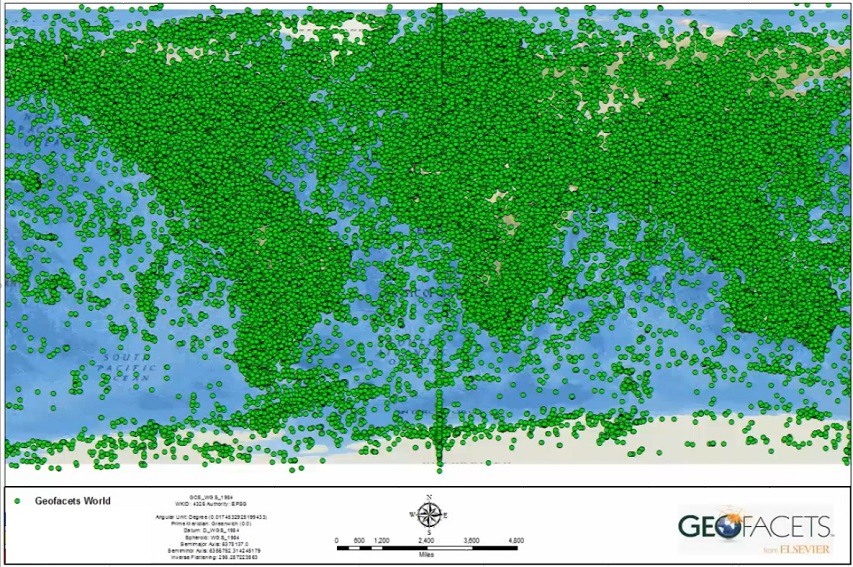
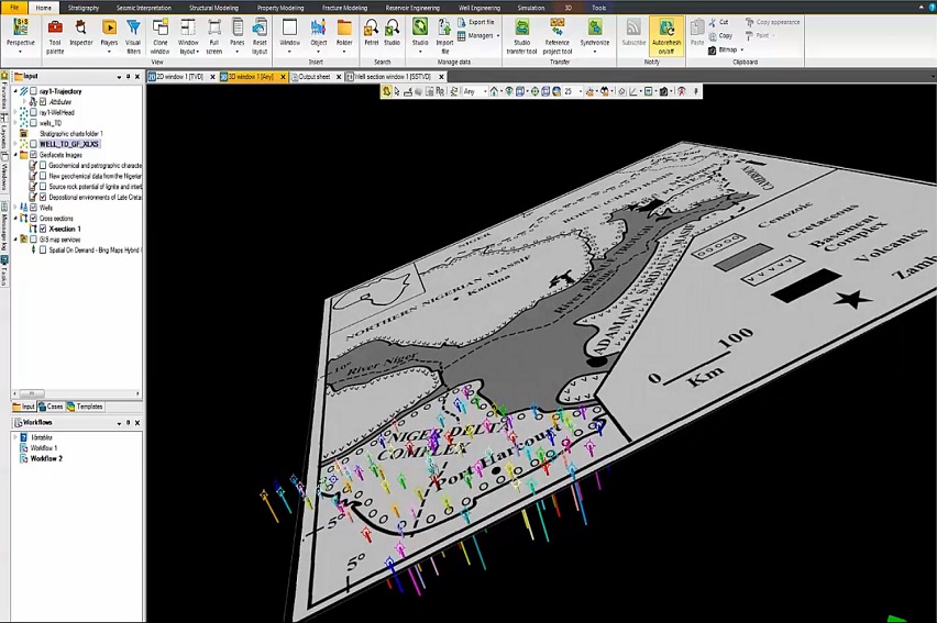
Accelerate your exploration workflow by quickly accessing hundreds of thousands of maps and articles, sourced from +100 market-leading journals and publications from 9 different publishers. Integration of information is challenging and time-consuming, but the Geofacets Connector allows you to solve that problem by seamlessly loading maps into your Petrel project with the click of a button.
Specifications
- Trusted, curated content base with hundreds of thousands of peer-reviewed geologic maps sourced from over 61 leading scientific journals and publications in one platform, updated weekly
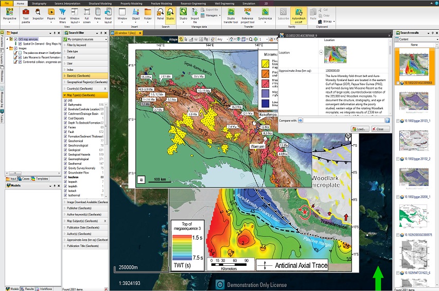
- Location-based, keyword, and advanced search features that are developed specifically to find relevant content quickly and effectively
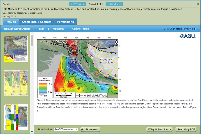
- Links to associated full-text articles that provide additional insight and context for content
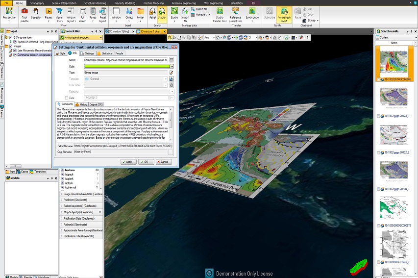
- Ability to integrate and load georeferenced maps as custom domain objects directly into
- Petrel projects
- Ability to save searches and set up alerts that make it easier to stay up-to-date with the most recent published maps and information available
Features
The innovative features of Geofacets are now available from within the Petrel platform via the Geofacets Connector. Find geologic maps using unique search features with links to the source article for added context. Integrate maps into your 2D and 3D views to validate your interpretations and evaluations in exploration and development projects - all without ever leaving the Petrel platform.

