Geomodelr
Geomodelr; CREATE GEOLOGICAL 3D MODELS ONLINE. ANYWHERE.
Geomodelr Software; Draw cross sections quickly using simple tools. Use Geomodelr's interpolation algorithm to refine them even quicker until you are happy with your geological model.
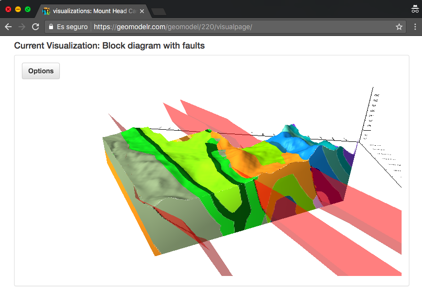
Draw geological maps too to interpret them and visualize them in 3 dimensions.
- The editor only creates cross sections with good topology.
- Use divide and join operations to edit geological units.
- Easily edit faults with node based operations.
- Take advantage of raster layers, dips or boreholes.
- Geomodelr's algorithm can create almost ready cross sections that can be refined quickly with the same operations.
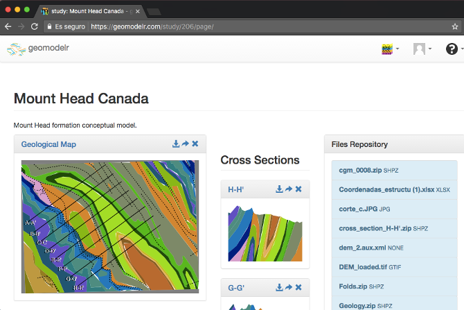
Cross sections are the input to Geomodelr's 3D algorithm, as they are the tools for the geologist to interpret. Geomodelr does not need horizon matching or surface construction to create a solid model. From the first cross section your model is solid.
Listing Details
Visits
1,542
Redirects
315
Don't Miss Out! Get the Best Deal on this Software - Email Us Now!
Map
© OpenStreetMap contributors


