Geology Software
Geological Engineering include understanding and analyzing field depositional environment along with earth techtonic movements to create a reliable 3D model of underground reservoir structure (e.g., geological model). Geological models may be complicated depending on the number of oil bearing horizons and faults.
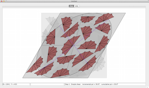
StrainSim 3 is an update of my simple forward modeling program to simulate simple shear, pure shear, and progressive deformation. This version is compatible with the latest Mac and Windows operating systems. The program is designed as a teaching and visualization device. As such it can animate progr ...
Read More ...
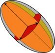
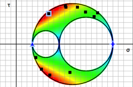
One of the primary uses of eigenvalues and eigenvectors in structural geology is to calculate the principal axes of tensor quantities like stress, strain, or the orientation tensor. The actual numerical methods for calculating eigenvalues are beyond the background of most introductory structural geo ...
Read More ...
This program will read and parse a KML file, allowing one to save the data as a table of tab-delimited text. The name of the placemark, latitude, longitude, altitude, and any contents of the description field are saved to separate fields of the text file. Additionally, multiple vertices of any polyg ...
Read More ...
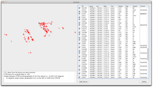
This is a small utility program to translate Longitude and Latitude coordinates into UTM coordinates and vice versa. You can choose from several different map datums, edit data and have it converted instantaneously to the other format, etc. Additionally, it can calculate all of the coordinates in a ...
Read More ...
This program will take a table of orientation data, saved as tab-delimited text file, and reformat the data so that it can be read into v. 9-12 of Canvas GIS drafting software. Upon import, you will see all of your strikes and dips of bedding, cleavage, joints, or lineations plotted with their corre ...
Read More ...
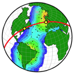
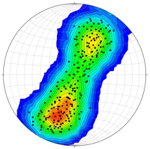
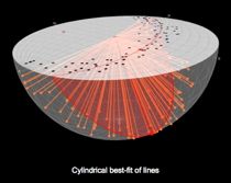
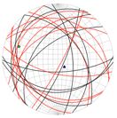
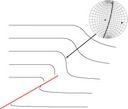
Stereonet3D (previously OSXStereonet) plots lines and planes in spherical, equal angle or equal area, projections. The program can produce various types of plots such as scatter plots, great or small circles, arc segments, contours, rose diagrams, stereonets from any view direction, latitude-longitu ...
Read More ...
Structural geology deals to a great extent with the operation of vectors and tensors. GeoKalk (previously GeoCalc) is a calculator for vectors (lines and planes), and tensors (strain and stress). GeoKalk is a document based application. Multiple calculators can be opened and saved as independent doc ...
Read More ...
SSPX is a full fledged inverse modelling program to calculate best fitting strain tensors given displacement or velocity vectors in two or three dimensions. SSPX works equally well on small deformation problems such as computing strain rates from GPS data, or large deformation problems such as compu ...
Read More ...
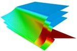
Trishear3D is a program to run 3D, forward trishear models. The program is based on algorithms by Cristallini and Allmendinger (2001), and Cristallini et al. (2004). Trishear3D can model the geometry and finite strain of fault propagation folds, fault bend folds, and lateral propagating faults. More ...
Read More ...
Backstrip Popular
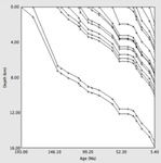
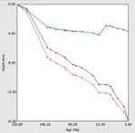
The subsidence of a sedimentary basin is due to: tectonic subsidence, water and sediment loading, and sediment compaction. These three components can be estimated from a stratigraphic section using "backstripping" (Allen and Allen, 1990). This removes from each sedimentary layer the effects of sedim ...
Read More ...

