Flatirons™
Flatirons™ Software Products
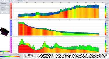
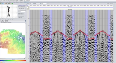
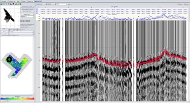
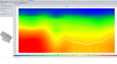
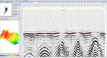
Flatirons™ software sets the standard for front end seismic data processing. Assure data processing accuracy with our integrated products:
- Geometry QC
- First break picking
- Multiple methods for analyzing and modeling refraction statics
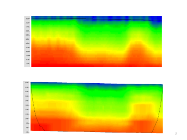
- Eikonal tomography
- Variable Node Spacing tomography
- Anisotropy refraction analysis
At XtremeGeo we understand the importance of correct geometry and a reliable model of the near surface for seismic data imaging. Our intuitive software tools help you easily identify errors and analyze difficult data to correct near-subsurface distortions.
Achieve results with our advanced software tools to increase the value of all subsequent (and expensive) seismic processing steps. The multi-dimensional applications accommodate 2D, 3D and 4D data types.
Flatirons™ software implements a unique high-performance technology designed for massive datasets. Algorithms deliver 10x to 100x faster throughput than competitive applications.

