GEOVS™
GEOVS™ 2D/3D VSP DATA PROCESSING AND IMAGING
GeoVS™ is a 2D/3DVSP data processing and imaging software program. GeoVS™ offers capabilities including building geometry, picking first breaks, particle motion analysis, orientation, signal processing for 2D and 3D wave field separation (parallel computation), traveltime tomography for model building (2D and 3D), wave-equation migration scanning for depth model building (2D, parallel computation), Kirchhoff prestack depth migration (2D and 3D), wave-equation depth migration (2D, parallel computation), and post-migration signal processing (2D and 3D). It also includes the new interferometry technology for imaging down-going multiples. The package includes a large number of QC tools for each application. <p.GeoVS™ is started from GeoTomo launcher. The launcher includes a utility on the top bar, which offers many SEGY utility programs and geometry builder.
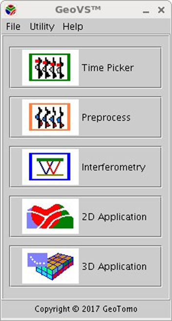
When you start GeoVS™ the main menu, with its five options will appear. These options correspond to the five main functions performed in GeoVS.
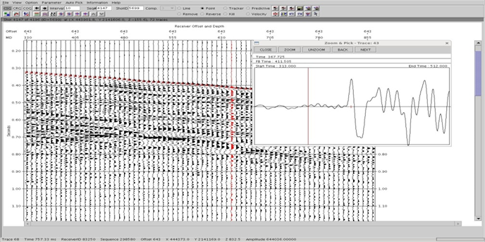
FIRST BREAK PICKERS
- Automatic Pickers
- Semi-Automatic Pickers
- Manual Pickers
- QC tools

