OMNI 3D
From defining objectives and performing acquisition QC, OMNI 3D seismic survey design software bridges the gap between E&P asset and acquisition teams. Let OMNI 3D software answer your technical questions so you can create optimal 2D and 3D designs for land, marine, ocean-bottom cable (OBC), transition zone, vertical seismic profile (VSP), and multicomponent surveys.
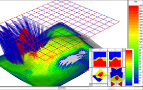
Advanced analysis modules of OMNI 3D software enable you to examine geometry effects, analyze geometry artifacts, generate synthetics, and build and ray trace 2D and 3D geological models. OMNI 3D software is the industry standard for seismic survey design, modeling, and survey acquisition QC. The result of more than 25 years of close interaction with our customers, OMNI 3D software continues to benefit from continuous software development and innovation.
Features and packages
OMNI 3D software is available in two packages:
OMNI 3D Layout
A complete set of tools for geometry building, editing, acquisition monitoring, and QC.
OMNI 3D Workshop
A comprehensive set of tools for geometry building, editing, and QC as well as advanced analysis in the time or depth domain.
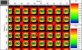
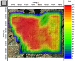
- Provides advanced analysis modules, including 3D geometry assessments, synthetics, trace quality estimates using 5D interpretation, AVO response, illumination on a subsurface horizon using any survey geometry, and poststack time migration illumination using Fresnel zone binning
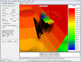
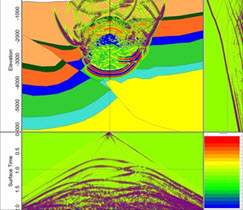
- Enables creating 3D geologic models and investigating parameters, model diffractions, reflections, and ray paths
OMNI 3D software is a 64 bit Windows application offering annual software releases and regular product updates. It also includes a number of user resources, including tutorials, movies, common workflows, knowledge-base articles, and new feature documents.


