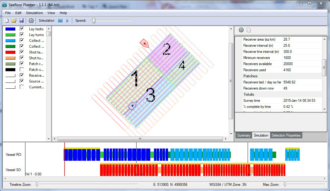
Seafloor Planner
Seafloor Planner is specifically designed for planning and optimizing ocean bottom node and ocean bottom cable surveys.
Based on the same technology that our flagship product survOPT is so well known for, Seafloor Planner lets you instantly see the estimated completion time, vessel utilisation figures, critical path and other useful information about your ocean bottom seismic survey.
Run simulations to compare different line spacing, different turn patterns, wider patches or more receivers. Find out which tasks are on the critical path and how they can be done faster. Seafloor Planner lets you compare different scenarios for these and many other factors and visualise immediately how these affect your ocean bottom node or ocean bottom cable survey duration.
Capabilities include:
- Patch-based and rolling spread surveys with a single receiver vessel or multi-role vessel and one or more source vessels
- Shooting perpendicular, parallel or on other azimuths
- Specify shot and receiver areas, or load SPS and P190 files for irregular layouts
- Specify zippers (tiles/panels) and/or custom source line patterns
- Export SPS files
- Specify vessel characteristics such as speed, turn radius, cost and different turn patterns such as racetrack, adjacent, earliest reachable line
- View statistics at any point in the survey simulation
- Survey timeline including critical path
- Load obstructions from a range of formats including shapefiles, and configure vessel behavior around obstructions
- WGS 84 / UTM and a wide range of other coordinate reference systems
- Background images including georeferenced images
Currently in development:
- Support for multiple receiver vessels
- More in-map editing tools, such as click-and-drag to adjust patch size and shape
- More fine-grained ocean bottom survey configuration options, including handling buoys and cable/node-on-rope snaking
- Graphing


