Geoscience Software
Geoscience is the branch of science dealing with planet earth, including features on the earth’s surface, and below it. In petroleum industry, geoscientists play an important role in finding underground oil and gas reservoirs. They are also involved in mapping and interpreting underground surface interpretation. Today there are a number of advance geophysical software packages available for processing, interpreting and running inversion on reservoir seismic data.


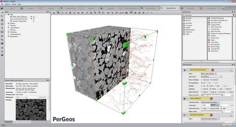
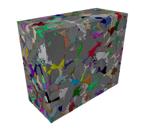
PerGeos Software
Digital rock analysis
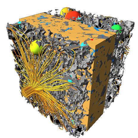
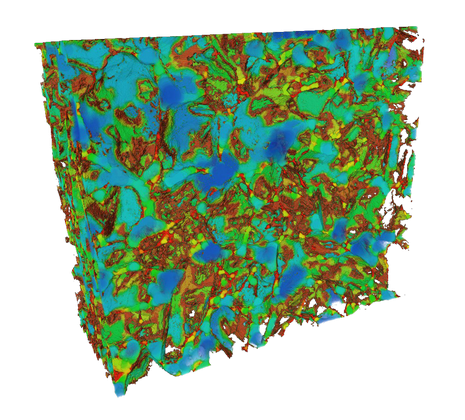
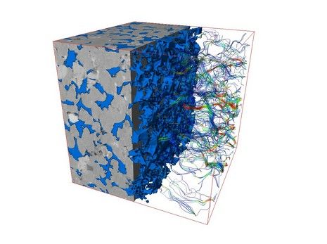
Thermo Scientific™ PerGeos Software for digital rock analysis is the industry's first software designed to help geoscientists rapidly interpret digital rock imagery so that E&P engineers can quickly and easily obtain meaningful, actionable data. Its visua ...
Read More ...
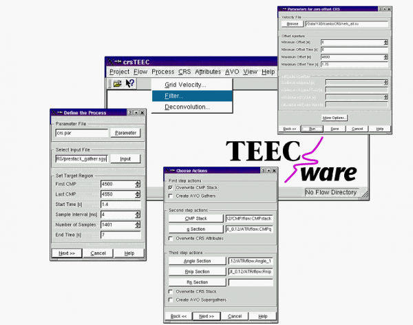
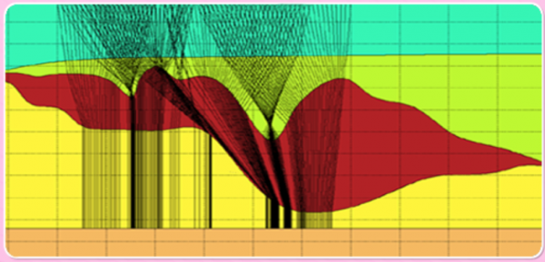
crsTEEC is a seismic processing software designed to support the Common Reflection Surface (CRS) techniques. This software package includes standard seismic processing methods (e.g. filters) and CRS specific algorithms like data driven CMP stack or data driven CRS stack.
crsTEEC can be used for a b ...
Read More ...
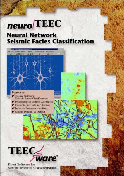
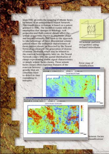
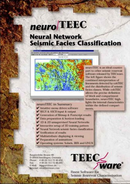
neuroTEEC provides the mapping of seismic facies by means of an unsupervised Neural Network. This classification technique is based on a patent granted to TEEC. The workflow comes with the assumption that changes in lithology, rock properties and fluid content should affect the seismic traces with r ...
Read More ...
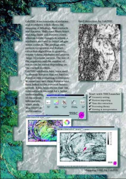
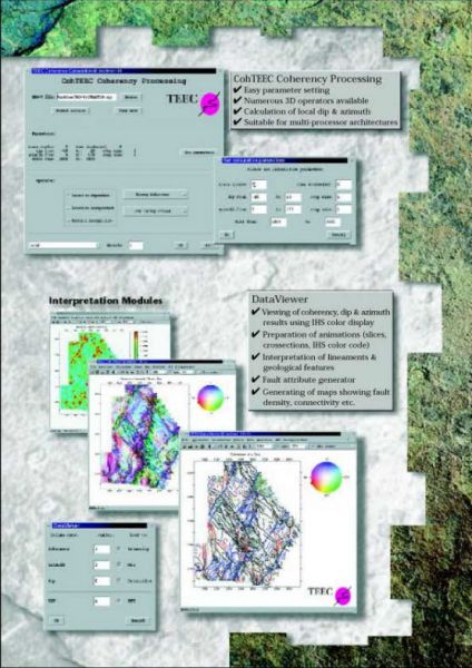
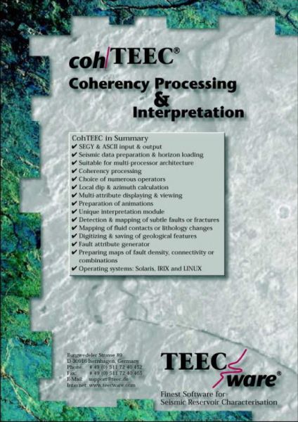
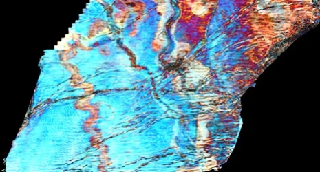
cohTEEC is an ensemble of software and workflows which allows the mapping of lithology, fluid contacts and fractures. Multi-trace filters detect and map faults and fracture zones whereas subtle changes in seismic attributes are used to detect oil-gas-water contacts. The package uses pattern recognit ...
Read More ...
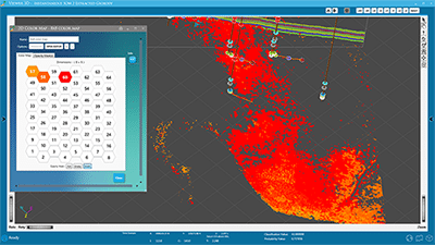
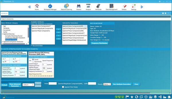
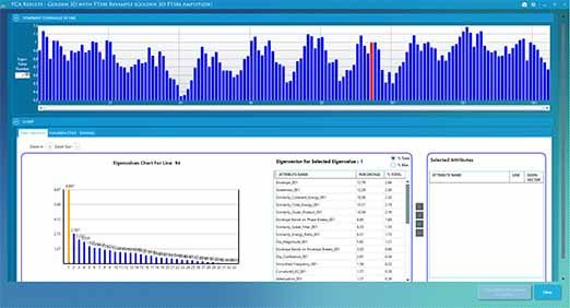
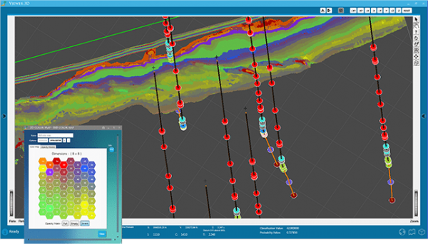
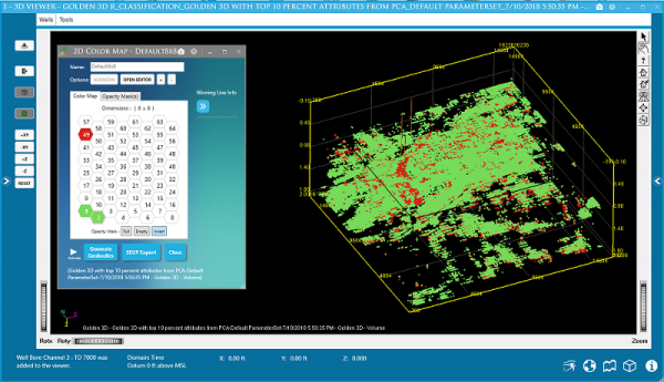
Paradise: Machine Learning Technology
The Next Generation in Seismic Interpretation
Paradise is a dramatic new geoscience analysis software featuring machine learning technology for oil and gas exploration and development. The platform enables geoscientists to rapidly analyze multiple attributes a ...
Read More ...
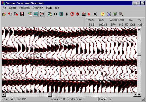
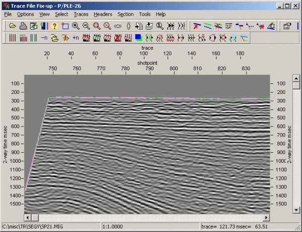
LEASSV Version 2.9 Specification
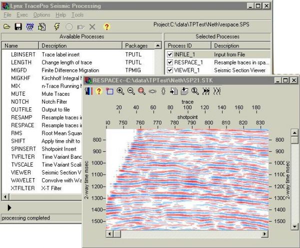
Lynx Exploration Archivist Seismic Scanning and Vectorising (LEASSV) software is a comprehensive software solution for re-vectorising scanned images of seismic sections and outputting the results as industry-standard SEG-Y format trace files. Using the utilities pro ...
Read More ...
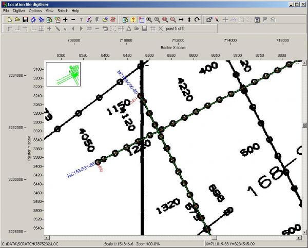
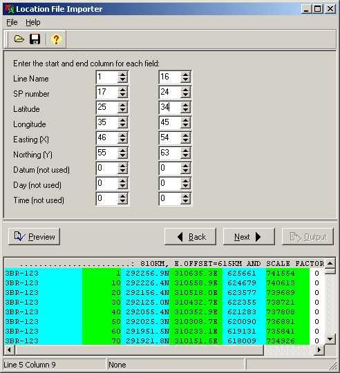
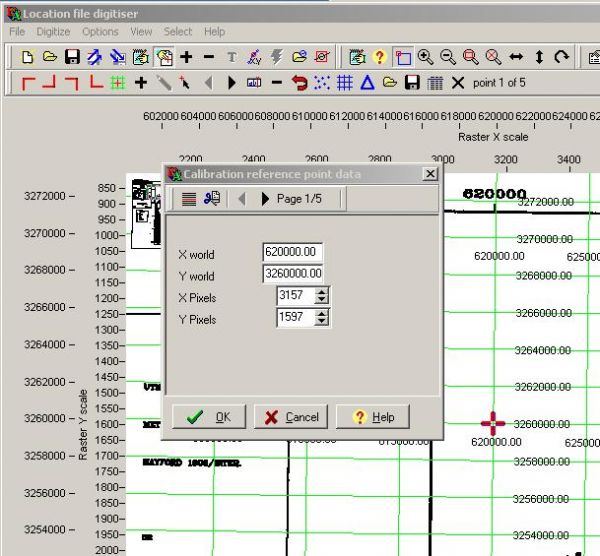
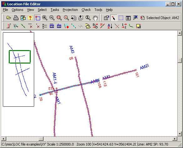
LEAMAP Version 3.0 Specification
The Lynx Exploration Archivist Map Scanning and Vectorising (LEAMAP) software is a comprehensive software solution for converting hard-copy seismic line location (shotpoint) maps into digital data, and importing and editing existing location data from a variety of f ...
Read More ...
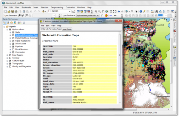
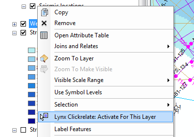
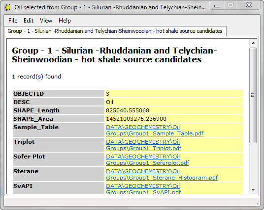
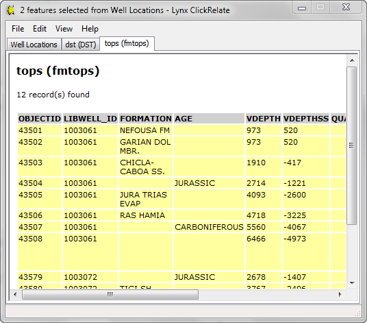
Lynx provides a number of plug-in extensions for ESRI ArcGIS Desktop®. ESRI is the market leader in GIS solutions, and its ArcGIS Desktop application suite is an essential tool for Explorationists.
Lynx has developed extensions which complement and extend the existing functionality in ArcMap:
Ly ...
Read More ...
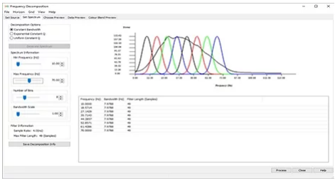
Improve signal to noise ratio and vertical resolution for the best possible post-stack seismic data conditioning results.
Interactive data conditioning tools offer preview-based noise attenuation and spectral shaping tools, enabling you to optimize your seismic data and gain a more detailed analysi ...
Read More ...
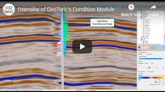
Reveal the geology in your data for a more insightful interpretation.
GeoTeric’s Reveal module comprises a comprehensive suite of attributes and volume mathematics tools to allow you to “see” and understand the geology before you interpret.
Industry-leading techniques including High Definition fre ...
Read More ...