Geoscience Software
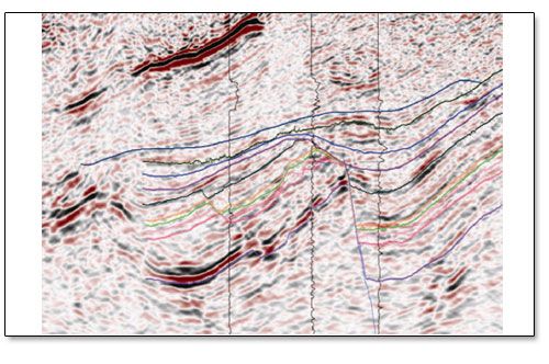
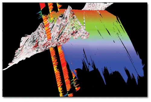
Geoscience is the branch of science dealing with planet earth, including features on the earth’s surface, and below it. In petroleum industry, geoscientists play an important role in finding underground oil and gas reservoirs. They are also involved in mapping and interpreting underground surface interpretation. Today there are a number of advance geophysical software packages available for processing, interpreting and running inversion on reservoir seismic data.
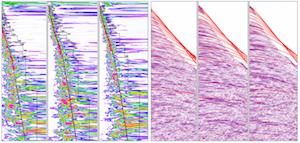
MSU_FS1D software’s main purpose is to solve straight and inverse FES problems. It allows the calculation of all the components of a low-frequency field of basic dipole sources on the surface of a horizontally layered medium (taking into account its polarization). The program’s graphic user interfac ...
Read More ...
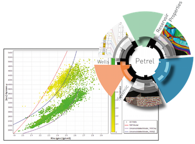
DEMYSTIFYING QI WITHOUT COMPROMISING SCIENCE BLUEBACK ROCKS QI presents high-end tools designed to apply rock physics using seismic derived attributes to predict reservoir parameters, such as pore fluid and lithologies.
STREAMLINED AND INTEGRATED ROCK PHYSICS Fully integrated into Petrel*, this dynamic, powerful and easy to use tool allows asset teams to optimize the value of seismic data, reduce exploration risk, uncertainty and improve reservoir understanding.
GEOLOGY FROM SEISMIC
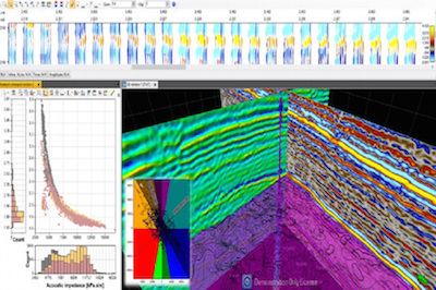
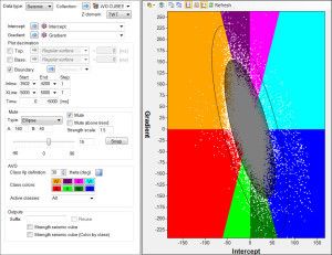
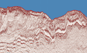
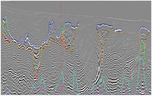
Blueback Seismic Reservoir Characterization delivers high end geophysics tools to assist in reservoir characterization. The current content focuses on Seismic Data Conditioning, on estimating seismic net pay for thin bedded reservoirs, and classification of seismic data using A ...
Read More ...
ONE DIMENSIONAL STOCHASTIC INVERSION
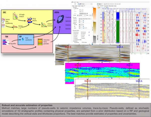
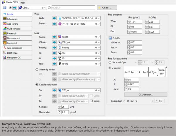
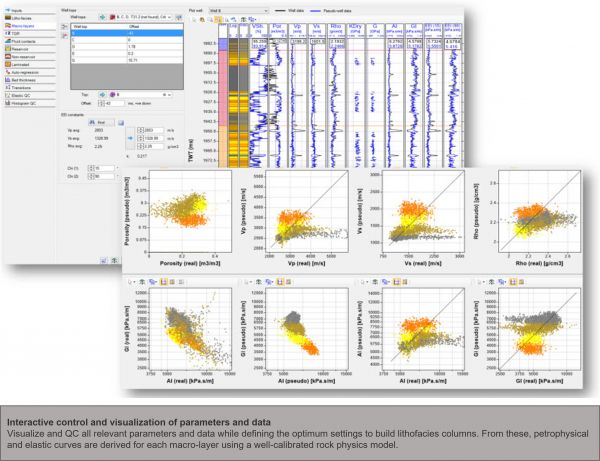
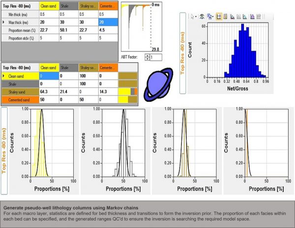
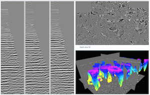
Blueback ODiSI is a One Dimensional Stochastic Inversion method that produces high quality reservoir property estimates with associated uncertainties, to predict net fraction, porosity and lithofacies distribution in geological plays. It is a unique seismic inve ...
Read More ...
INTEGRATED SEISMIC DATA PROCESSING, INTERPRETATION AND QC
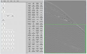
PRIMA is an integrated seismic data processing and interpretation software suite that seamlessly combines a complete data processing system with fully-functioning interpretation software. The result is a comprehensive, yet easy-to-use, softw ...
Read More ...
ISATIS, THE REFERENCE SOFTWARE IN GEOSTATISTICS
Isatis is a general purpose and comprehensive software solution in geostatistics that allows addressing very different issues from various industries. First released almost 25 years ago, it is widely recognized as the reference geostatistical toolbox ...
Read More ...
iRes-Geo ‘s team has decades of experience in developing and implementing the varying types of seismic inversion techniques, from simplest color inversion, deterministic inversion to advanced pre-stack stochastic simultaneous inversion.
Our workflow is specifically designed to meet the challenges i ...
Read More ...
Modeling
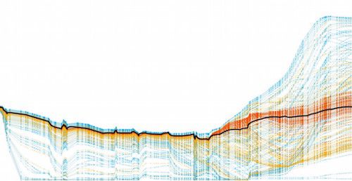
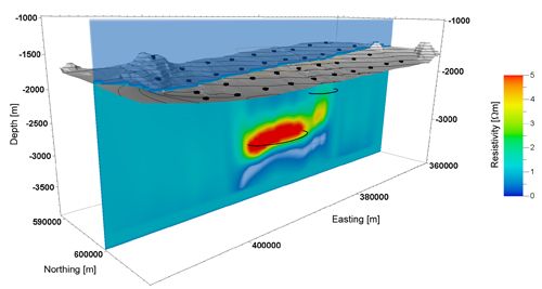
Modeling and inversion are the cornerstones of 3D EM data analysis. Inversion is the ultimate depth-conversion tool for turning EM data into resistivity, while modelling allows us to test geo-model hypotheses in the survey planning stage, as well as the interpretation phase.
Sensitivity s ...
Read More ...
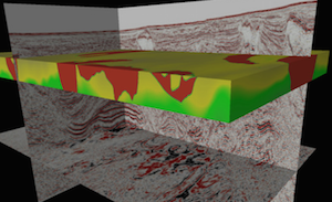
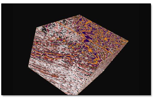
Sigma provides an integrated platform for seismic interpretation and geologic modeling. Sigma’s highly optimized graphics modules allow for quick response times in handling large 3D seismic volumes and generating displays as a base-cube or along multiple planes. When combined with innovative capabil ...
Read More ...

