Geoscience Software
Geoscience is the branch of science dealing with planet earth, including features on the earth’s surface, and below it. In petroleum industry, geoscientists play an important role in finding underground oil and gas reservoirs. They are also involved in mapping and interpreting underground surface interpretation. Today there are a number of advance geophysical software packages available for processing, interpreting and running inversion on reservoir seismic data.
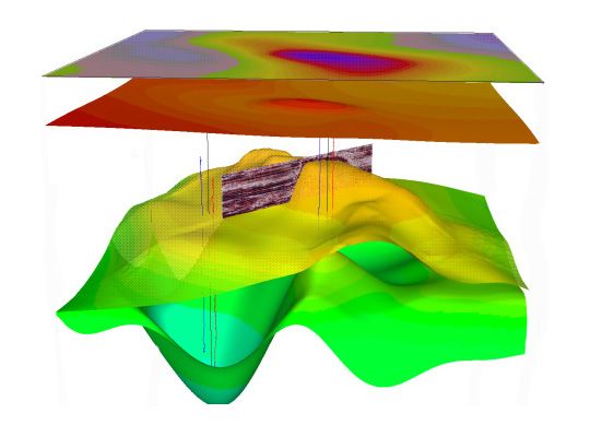
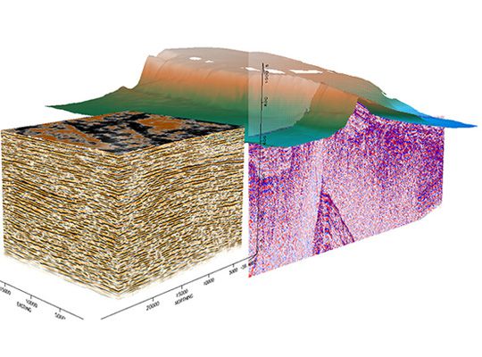
PGS has developed a state of the art methodology to generate seismic pore pressure cubes by incorporating high-density velocity analysis into an integrated workflow.
Well data are used to determine the relationship between effective stress and velocity and to calibrate the seismic interval velociti ...
Read More ...
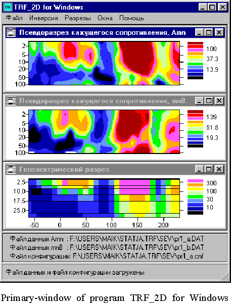
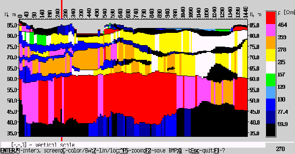
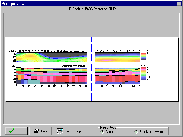
TRF_2D for Windows - Automated 2D Inversion Program for VES Travers Data.
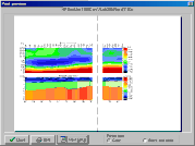
In 1999 the TRF_2D automated 2D inversion Program for VES travers data was developed by Near-Surface Electrical Lab. The authors place the presented program into the class of the introscopy methods, i. e. determining and visu ...
Read More ...
Download freeware version for VES and VES-IP interpetation - IPI- v7.6 Lite (425Kb, Dos, up to 7 VES points in profile).
IPI2win Popular
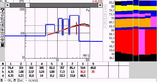
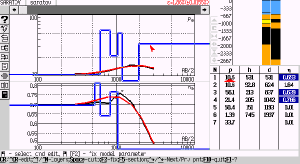
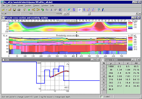
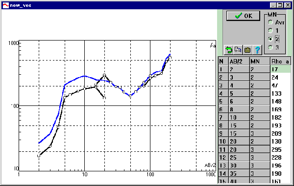
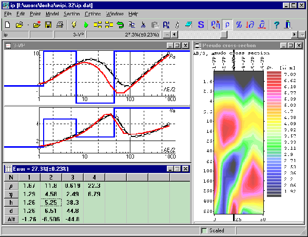
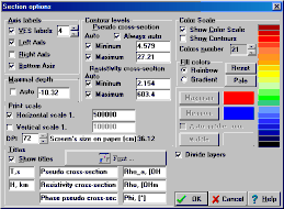
IPI2win is a program for 1D automatic and manual interpretation of VES curves.
Interpretation mode
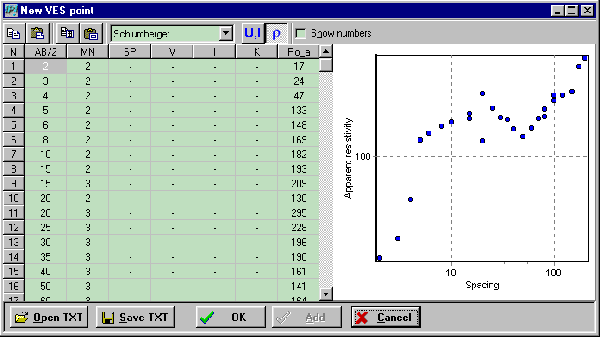
VES curves could be received with different arrays: Schlumberger, Wenner, dipole-dipole, pole - pole.
The main advantage of this program is confortable manual interpretation. You could change parame ...
Read More ...
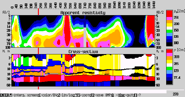
IPI2win_MT - 1D magneto-telluric and frequency sounding curves interpretation. IPI2win_MT is a program for 1D automatic and interactive interpretation of magneto-telluric data.
Advanced Software for Potential Fields
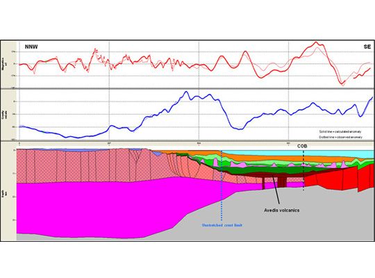
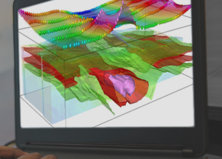
GM-SYS is the industry-leading solution for gravity and magnetic modelling, supporting the work of international government surveys and the exploration programs of the world's most successful energy companies.
The Benefits of GM-SYS Modelling
GM-SYS provides ...
Read More ...
VOXI Performance Advantages
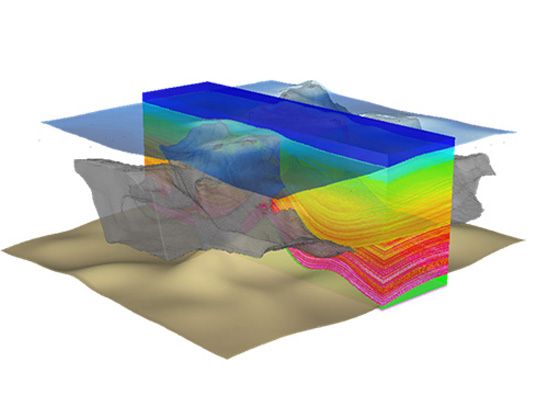
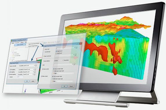
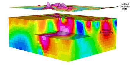
VOXI provides a solution for large, multi-parameter geophysical inversion modelling that can aid all stages of exploration and is suited for any size of project. It includes advanced inversion techniques that have been proven to increase geophysical model accuracy. On-de ...
Read More ...
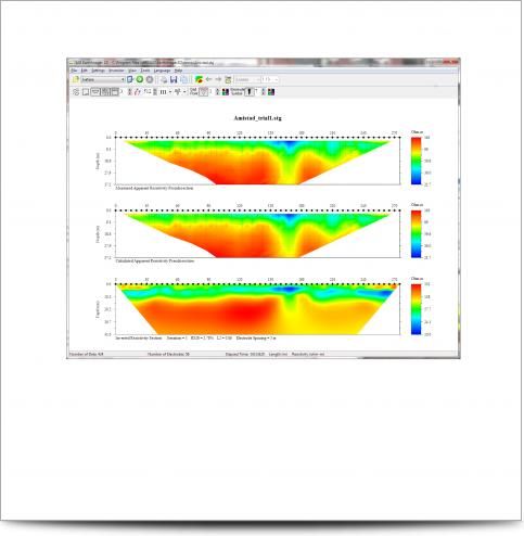
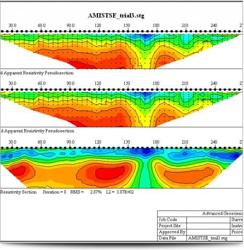
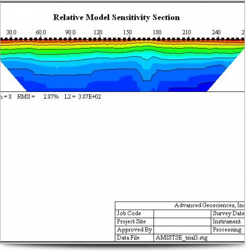
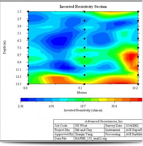
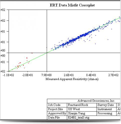
AGI EarthImager 2D is a two-dimensional inversion modeling software for affordable resistivity and induced polarization (IP) imaging. It interprets data collected by the SuperSting Wi-Fi in just a few clicks, including parallel boreholes or on a surface line.
The data set, collected using SuperStin ...
Read More ...
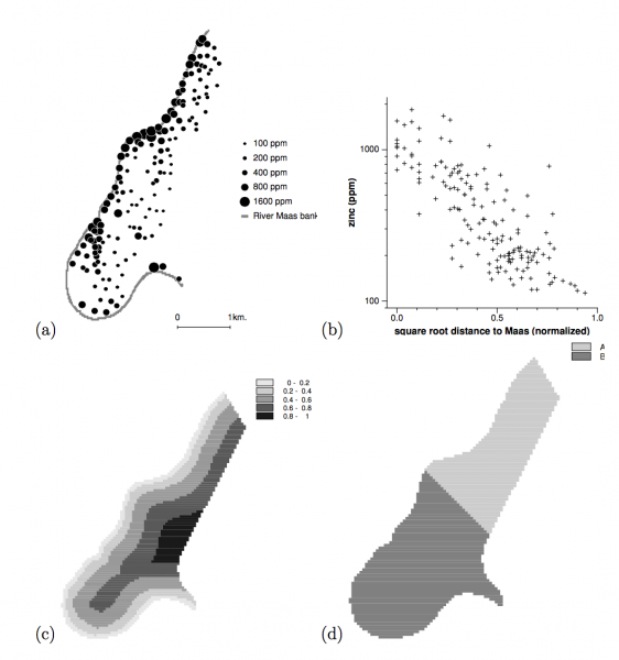
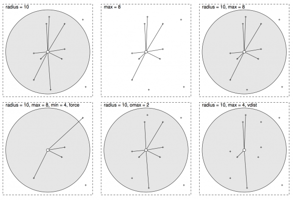
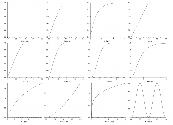
Gstat is a program for the modelling, prediction and simulation of geosta- tistical data in one, two or three dimensions. Geostatistical data are data (measurements) collected at known locations in space, from a function (pro- cess) that has a value at every location in a certain (1, 2 or 3-D) domai ...
Read More ...
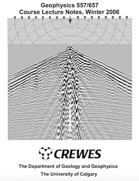
This software is intended to accompany the textbook "Numerical Methods of Exploration Seismology with algorithms in Matlab" (NMES) by Gary F. Margrave. The textbook and software release are part of an ongoing project to upgrade the CREWES Matlab software library for use in teaching exploration seism ...
Read More ...

