Geoscience Software
Geoscience is the branch of science dealing with planet earth, including features on the earth’s surface, and below it. In petroleum industry, geoscientists play an important role in finding underground oil and gas reservoirs. They are also involved in mapping and interpreting underground surface interpretation. Today there are a number of advance geophysical software packages available for processing, interpreting and running inversion on reservoir seismic data.
28 years of Seismic Unix! The Seismic Unix Project is partially supported by the CWP Consortium Project. In the past, the Seismic Unix Project received partial support from the Gas Research Institute (GRI) and the Society of Exploration Geophysicists Foundation.
Muliplatform (Windows XP, 7 - 10; Linux CentOS/RHEL 5 - 7) SegDSee - SEG-D/B viewer - display headers and seismic data from disk SEG-D оr SEG-B file Single shot file and Lacey Tape on Disk (LTOD) encapsulation is supported Currently supported formats: SEG-D 80XX, 0015 and Standard SEG-B
SeiSee Popular
SeiSee program shows seismic data in SEG-Y, CWP/SU, CGG CST format on screen of your personal computer (Windows-2000, XP, Vista, Windows-7-10, Linux+Wine).
The SeiSee features:
supports standard integer (2,4 bytes) and IBM float (4 bytes) sample formats
nonstandard integer(1 byte), float IEEE ( ...
Read More ...
WSegyCat concatenates SEG-Y files Concatenated files should be compatible, i.e. they must have same : format code sample inteval same trace length same endian
The VSProwess software was first released in 1990 as an in-field VSP processing system. Seismic data processing can be a challenging task, but thanks to its in-field heritage, VSProwess has a deserved reputation as an easy to use system. The clean and efficient design frees our team of VSP processor ...
Read More ...
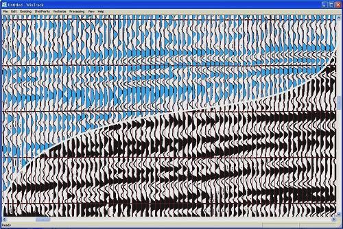
Canesis has developed WinTrack™, a proprietary software package for seismic trace reconstruction/vectorising.
WinTrack™ is currently used internally by Canesis' and is not yet available for sale. A commercial release version is in preparation which will feature a streamlined interface for ease of u ...
Read More ...
Benefits
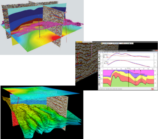
Reduce exploration risk and uncertainty through full geophysical data integration within one 3D workspace
Obtain the maximum value from your potential field data through an interactive and easy to navigate user interface
Validate and test seismic interpretations through integration wit ...
Read More ...
A superior fast track method for the inversion of seismic data
Product overview
Implementation of Fast-track ‘colored’ inversion1
Enables the rapid inversion of 2D/3D seismic data
Use of SCI frequently (>80%) avoids the need to generate full AI volumes
Fast, robust and inexpensive
Availab ...
Read More ...
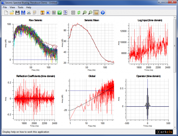
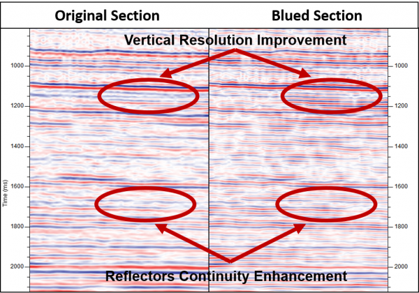
Shapes spectra of seismic data to be consistent with the Earth’s reflectivity.
Product overview
Extends seismic resolution without boosting undesirable noise
Enhances and broadens the frequency spectrum of 2D and 3D seismic data
Compensates for the inherent whitening of seismic data during pro ...
Read More ...
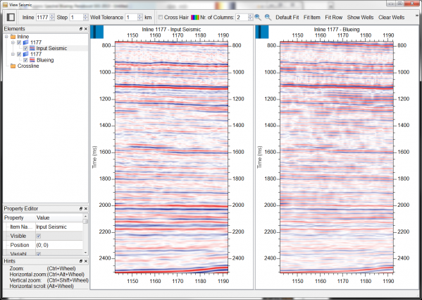
Increases the value of your seismic data by extending its bandwidth
Benefits
Broadband operators are consistent with seismic and well data
Wavelet is implicit in the process
Enables the broadband analysis of 3D seismic data
Low end and high end analysis are analogous to Seismic Coloured Inver ...
Read More ...


