Geoscience Software
Geoscience is the branch of science dealing with planet earth, including features on the earth’s surface, and below it. In petroleum industry, geoscientists play an important role in finding underground oil and gas reservoirs. They are also involved in mapping and interpreting underground surface interpretation. Today there are a number of advance geophysical software packages available for processing, interpreting and running inversion on reservoir seismic data.
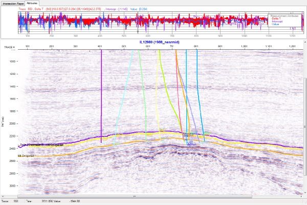
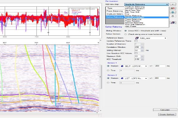
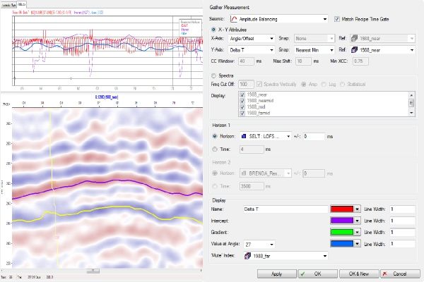
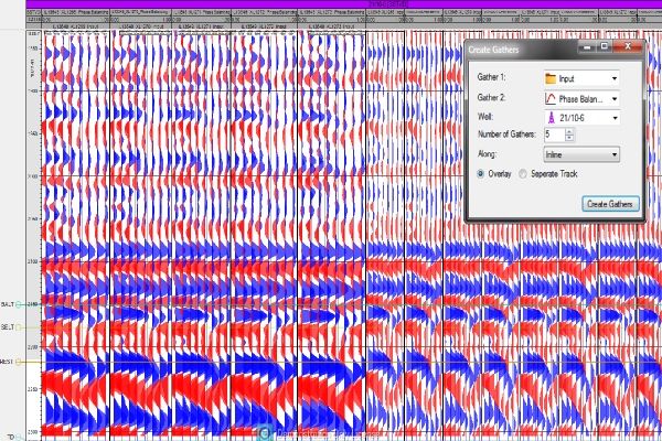
Gather View QC
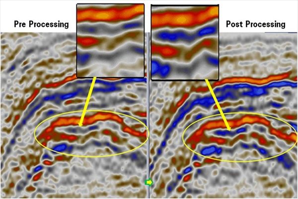
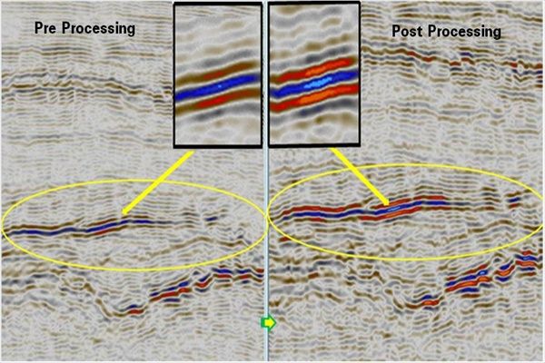
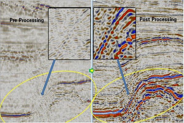
The Gather Viewer tool lets users generate on-the-fly gathers around a well from any stage in the conditioning workflow. Gathers are opened in a Petrel* well viewer and allow overlapping or adjacent comparisons between the seismic data pre- and post- function.
Plug-in Overview
Befo ...
Read More ...
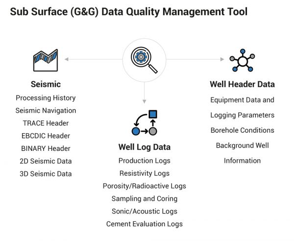
Sub Surface (G&G) Data Quality Management Tool
GeoProQuiK is L&T Infotech's proprietary Sub Surface (geological & geophysical) Data Quality Management Solution, which consists of various data quality check (QC) tools, templates, scripts and business rules catalogs. The solution helps Ex ...
Read More ...
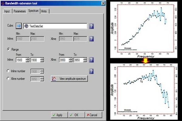
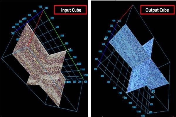
Generation & viewing of amplitude v/s frequency spectrum.
This plug-in provides the additional utility of generating & viewing of the amplitude vs. frequency spectrum of an input cube, an in-line or X-line to validate the bandwidth of the input & processed cubes. The spectrum is an actu ...
Read More ...
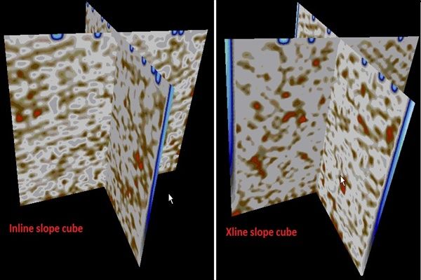
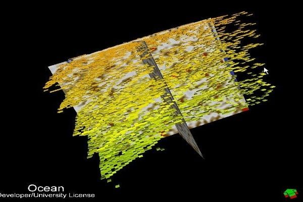
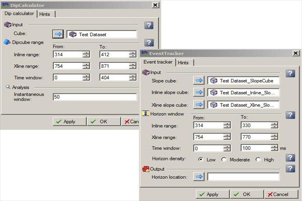
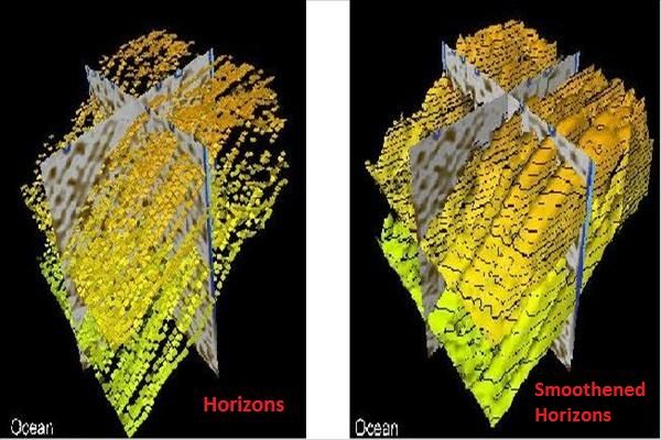
Stack of horizons generated for a given time window
Precise and smoothened bundle of horizons are generated by tracking of events based on local dip and azimuth calculations. It contributes to the automation of the process of creating dense set of horizons based on the time window provided, which a ...
Read More ...
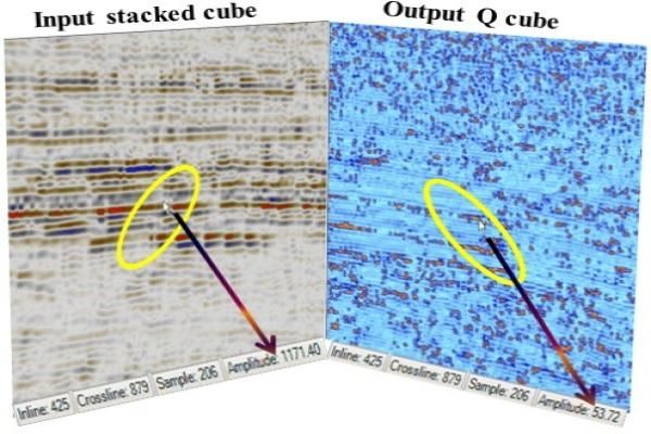
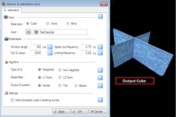
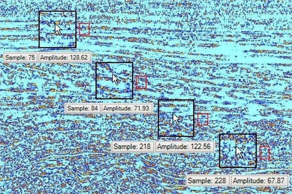
Estimated Q for lithologic & hydrocarbon identification.
In addition to velocity and density, reliable estimates of Q could be a great help in improved understanding of lithology and physical state of subsurface rocks. Also the Q estimates help in hydrocarbon indicator, for example strong atten ...
Read More ...
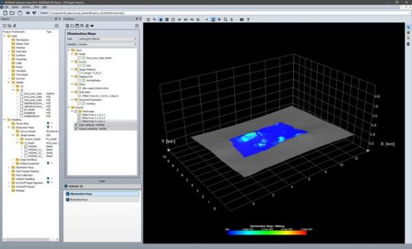
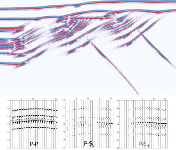
The new NORSAR-3D unveils a revolutionary new user interface for the NORSAR software. It makes the advanced and proven NORSAR-3D technology available in a completely new and simplified user experience.
NORSAR-3D is now part of the new NORSAR Software Suite framework.
The new NORSAR-3D is available ...
Read More ...
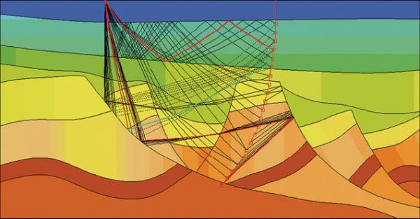
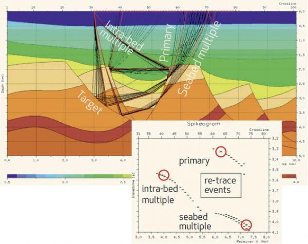
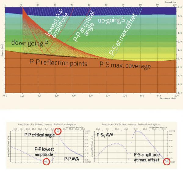
NORSAR-2D Ray-Modelling is the powerful, industry standard tool for 2D ray-trace modelling to understand seismic wave propagation.
NORSAR-2D IconNORSAR-2D Ray Modelling is a powerful tool to better understand your seismic data. You can evaluate your model by comparing synthetic results with the act ...
Read More ...
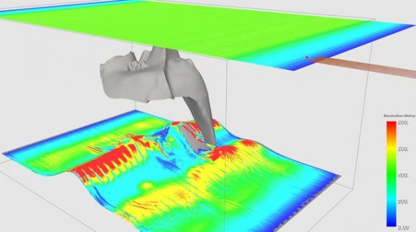
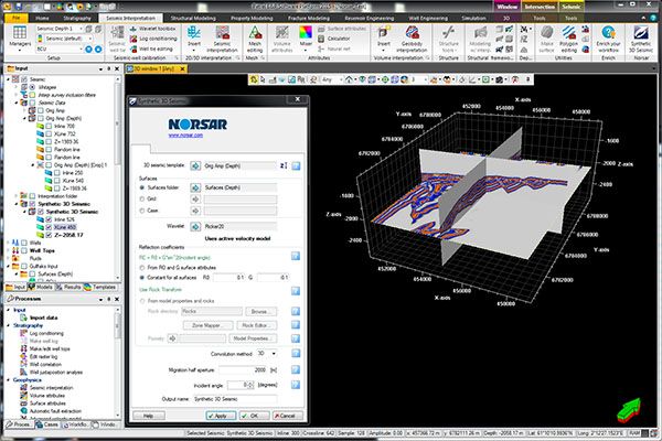
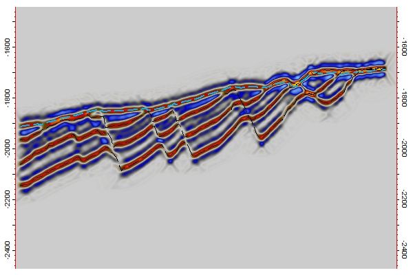
Seismic cross-section
An Inline of the resulting synthetic 3D seismic along with the surfaces (stippled) from which it was generated. Notice how the steeply dipping faults are not illuminated using the current Migration half aperture (500 m). Increasing the Migration half aperture will give a bette ...
Read More ...
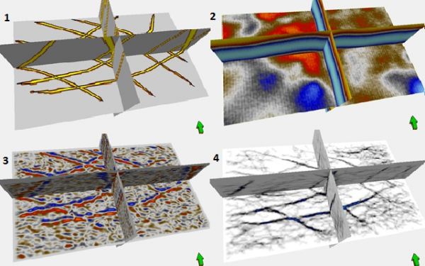
Fracture detect result for reflection surface in shale layer
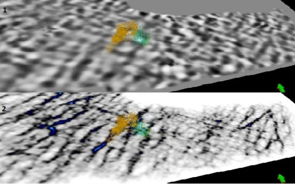
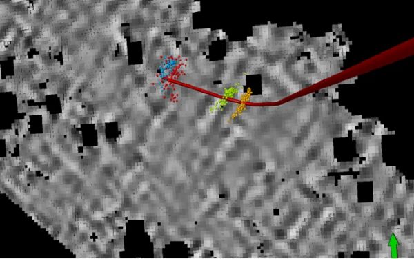
Lineaments on 4th orthogonal component have very good correlation with microseismic events and can be used like fracture detection attribute in future fracture modeling.
Plug-in Overview
The Fracture Detect plug-in identifies fractures ...
Read More ...
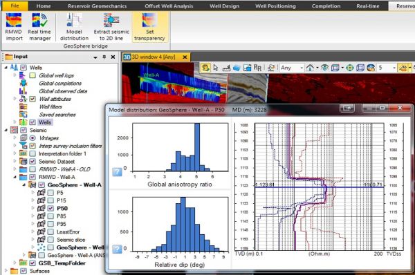
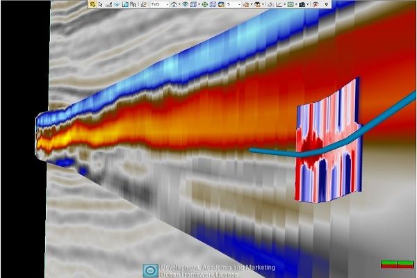
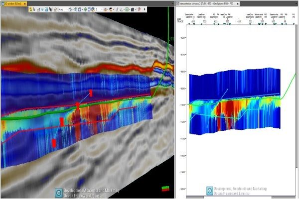
GeoSphere inversion overlay with seismic in 3D window
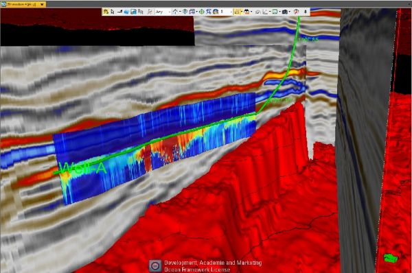
The plug-in enables the integration of PeriScope HD and GeoSphere Reservoir Mapping While Drilling outputs into client pre-existing Petrel projects. The additional interpretation based on this integration can provide a better understanding of th ...
Read More ...

