Geoscience Software
Geoscience is the branch of science dealing with planet earth, including features on the earth’s surface, and below it. In petroleum industry, geoscientists play an important role in finding underground oil and gas reservoirs. They are also involved in mapping and interpreting underground surface interpretation. Today there are a number of advance geophysical software packages available for processing, interpreting and running inversion on reservoir seismic data.
Down-hole software - Recover geographically referenced magnetic components from the measured tool-referenced components. After installation, links to two executable programs and a User's Guide will be on your desktop.
Simple kriging, ordinary kriging and Universial/Kriging with a trend are available. All methods support data observations in ND-space. Thus, for example Time-Space kriging can be used. Synthetic semivariogram can be calculated using both GSLIB and GSTAT syntax. Experimental semivariograms can be cal ...
Read More ...
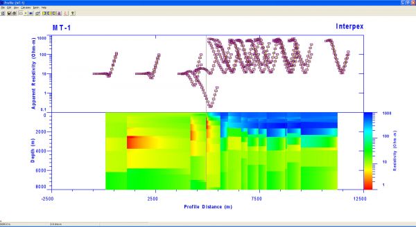
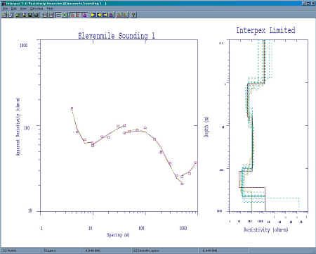
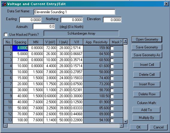
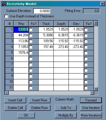
IX1D v3 is a 1-D Direct Current (DC) resistivity, Induced Polarization (IP), Magnetotelluric (MT) and electromagnetic sounding inversion program with the following features:
Supports Most DC resistivity arrays, including: Wenner, Schlumberger Dipole-dipole Pole-dipole and Pole-pole arrays.
Suppo ...
Read More ...
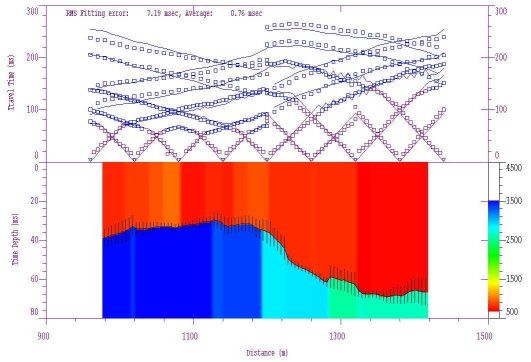
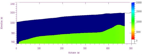
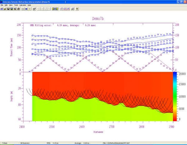
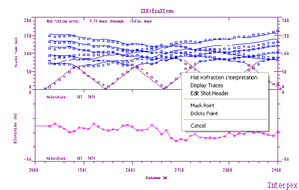
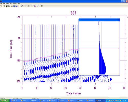
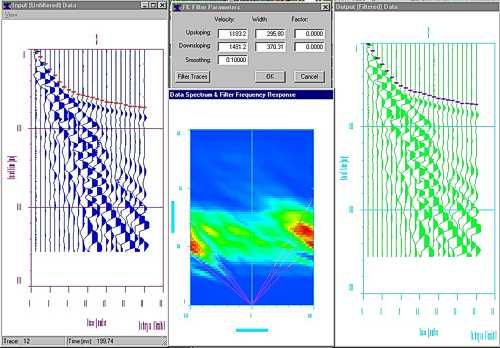
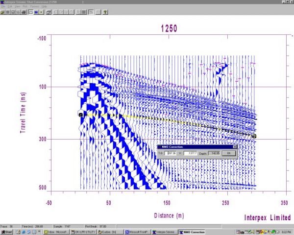
IXRefraX is the successor to GREMIX and FIRSTPIX, our DOS based seismic refraction data processing and interpretation system. It combines the features of both packages in one integrated system and adds bold and powerful new ideas and features!
New is the simple 2-D forward and inverse modeling. Thi ...
Read More ...
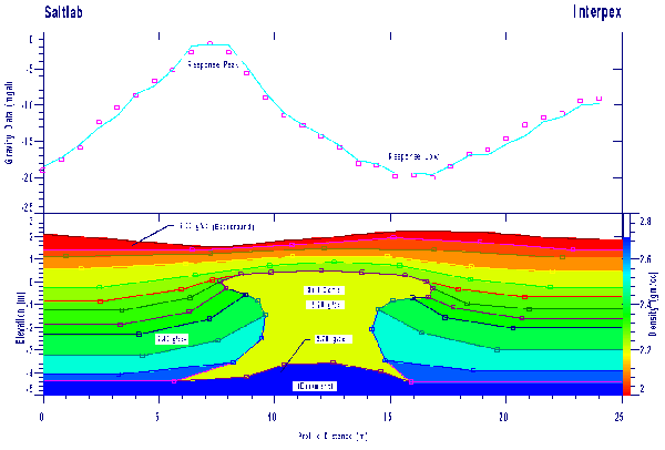
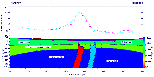
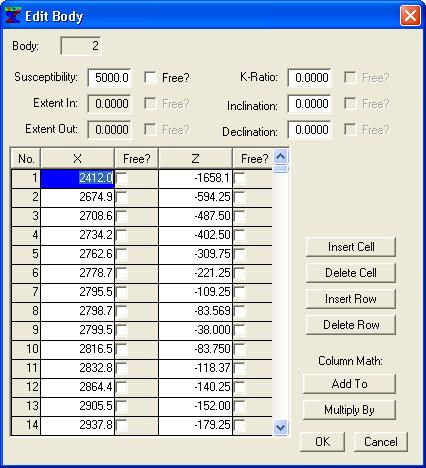
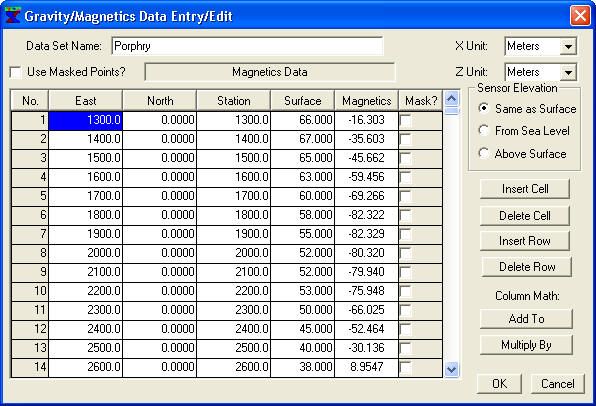
IX2D is an interactive 2-D gravity and magnetics forward modeling and inversion package based on polygonal models which can be truncated asymmetrically along strike. It is basically a port of MAGIX XL to Windows, complete with translation of MAGIX functionality to a true Windows interface.
Features ...
Read More ...
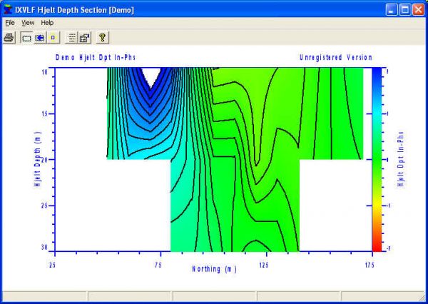
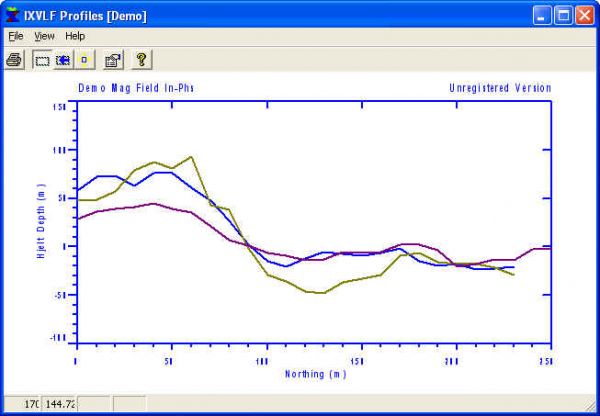
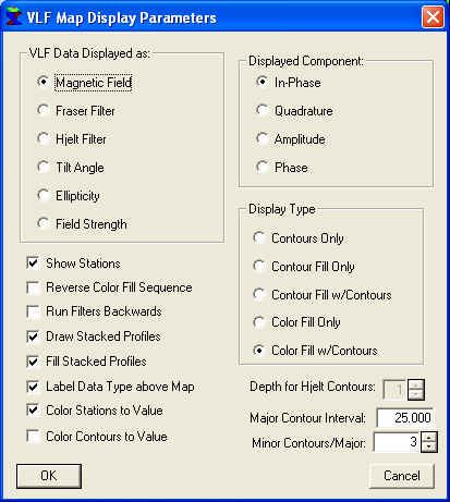
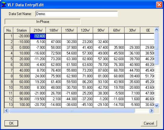
IXVLF is the successor to EMIX VLF, our DOS based VLF data processing and presentation system.
New is the addition of user defined labels
To evaluate this package, download and install the software and run it with the demo data set. Be sure to open and peruse the HELP file. Contact Interpex with a ...
Read More ...
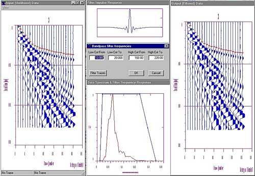
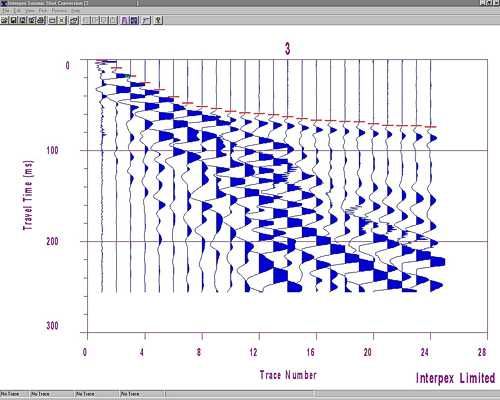
IXSeg2Segy is a 32-bit Windows program designed to read SEG-1, SEG-2, SEG-Y, ASCII, CSV and other instrument manufacturer’s multi-channel seismic data formats, view, process and interpret the data using simple techniques and output the data as SEG-2, SEG-Y or ASCII files.
It also functions as a SEG ...
Read More ...
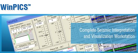
With an extensive range of exploration tools, WinPICS 5.9 is designed to help you hit your exploration targets.
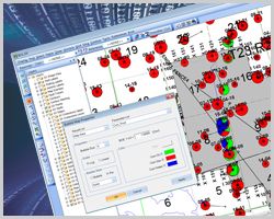
WinPICS offers easy to use data management tools from import to presentation mapping. Featuring sophisticated query and mapping capabilities to visualize your exploration and interpretati ...
Read More ...
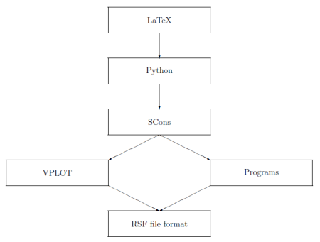
Madagascar is an open-source software package for multidimensional data analysis and reproducible computational experiments. Its mission is to provide
a convenient and powerful environment
a convenient technology transfer tool
for researchers working with digital image and data processing in ...
Read More ...
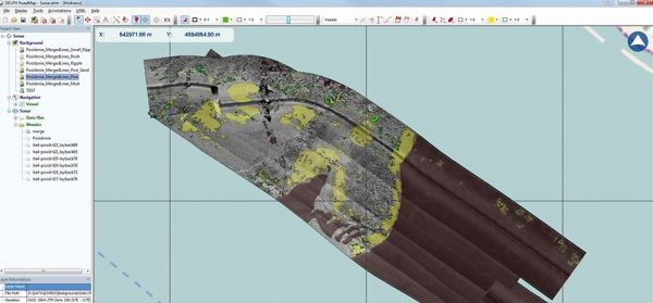
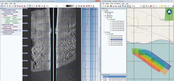
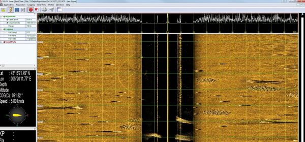
DELPH Sonar is a complete acquisition, processing and interpretation software package designed to easily perform accurate and productive side-scan sonar surveys. Providing an optimal QC at any stage and relying on DELPH powerful workflow and ease-of-use, side-scan sonar mapping has never been so fas ...
Read More ...

