Geoscience Software
Geoscience is the branch of science dealing with planet earth, including features on the earth’s surface, and below it. In petroleum industry, geoscientists play an important role in finding underground oil and gas reservoirs. They are also involved in mapping and interpreting underground surface interpretation. Today there are a number of advance geophysical software packages available for processing, interpreting and running inversion on reservoir seismic data.
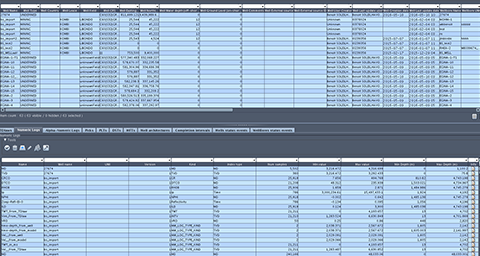
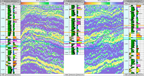
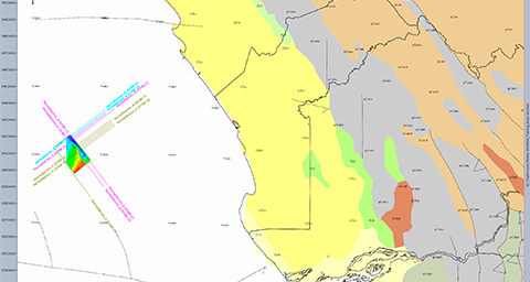
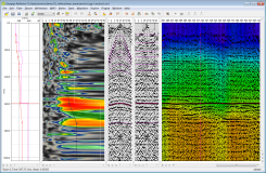
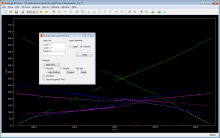
Data management is a deciding factor in the efficiency and quality of our geoscientific studies. By facilitating access to all available data and sharing them amongst the various geoscientific disciplines, Sismage-CIG (Geoscience and Reservoir Integrated Platform) significantly improves our ability ...
Read More ...
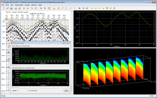
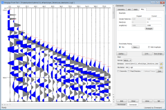
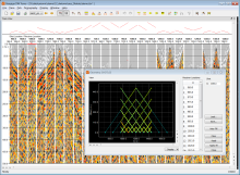
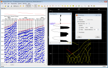
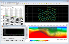
DW TOMO3D utilizes the robust grid ray tracing and regularized inversion approach to derive 3D velocity structure directly from first arrivals in 3D seismic surveys.
Features
Load all shots at one time
Quickly check and assign geometry
Allow variable surface
Filter and scale seismic data with ...
Read More ...
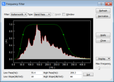
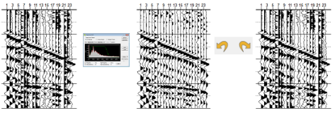
FRONT END is designed to preprocess single shot record. You can convert data formats, assign geometry, shift and swap seismic traces, filter and scale seismic data, and more. Several batch commands are available, such as data resampling, trigger delay correction, vertical stacking, and Vibroseis cor ...
Read More ...
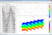
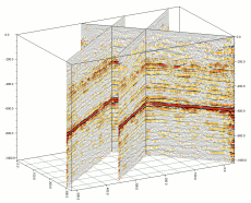
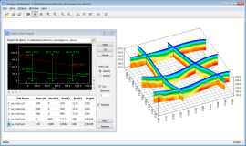
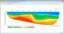
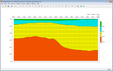
SEISMAPPER plots velocity sections or seismic stacks in 2D section and 3D fence. The velocity sections are displayed with colors, contours, and editable lithologic symbols, while the seismic stacks can be viewed with wiggle or color density.
Features
Group data in a survey area with a project
P ...
Read More ...
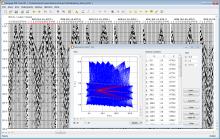
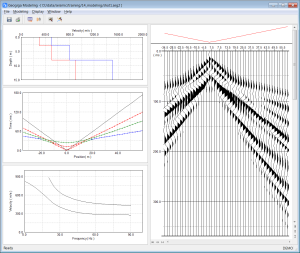
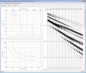
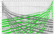
MODELING generates synthetic surface waves, refracted, reflected and air waves based on a layered velocity model.
Features
Input and plot layered velocity model
Model fundamental and high-mode surface waves
Generate reflected and refracted waves
Simulate air waves
Plot fundamental and high-m ...
Read More ...
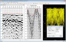
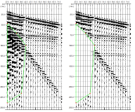
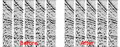
REFLECTOR is an all-inclusive standalone application designed for seismic reflection survey. All the processing modules are integrated to speed up the process without workflow interruptions. The multi-step undo and redo functions make it easier and more efficient to tune the processing parameters. T ...
Read More ...
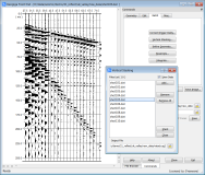
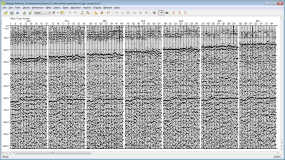
SF IMAGER is mainly used to process optimum offset seismic reflection data. It provides filtering, random noise attenuation, and deconvolution to improve the S/N ratio. You can import or pick velocities, migrate the time section, and generate a depth profile.
SF IMAGER is also used to process the g ...
Read More ...
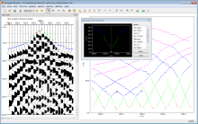
DW TOMO Refraction Tomography does not require layer assignment and phantom time-distance curves. The complex velocity structure can be directly estimated from first arrivals. This approach is especially suitable to derive the structure with no distinct layer interface due to the gradual velocity ch ...
Read More ...
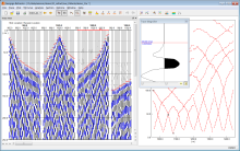
REFRACTOR provides the intercept time method, delay time method, ABC method, and generalized reciprocal method (GRM) for seismic refraction surveys. You can automatically or manually pick first breaks, easily assign first arrivals to layers, and quickly phantom time-distance curves. The velocity and ...
Read More ...
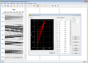
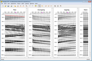
VSP can handle the zero-offset and offset VSP surveys. It uses the F-K or median filter to separate upgoing and downgoing waves, and then deconvolves the upgoing waves by applying a wavelet designed on the downgoing waves. Finally, it builds a corridor stack, or VSP-CDP mapping
Features
Support ...
Read More ...

