Geoscience Software
Geoscience is the branch of science dealing with planet earth, including features on the earth’s surface, and below it. In petroleum industry, geoscientists play an important role in finding underground oil and gas reservoirs. They are also involved in mapping and interpreting underground surface interpretation. Today there are a number of advance geophysical software packages available for processing, interpreting and running inversion on reservoir seismic data.
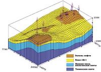
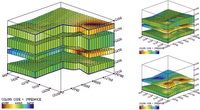
INPRES™ a Linux™ OS Seismic Interpretation System running on Pentium-compatible computers is intended for an integrated interpretation of 2D/3D seismic data in combination with well logging data and general geologic information at all phases of exploration and PLT operations.
The use of INPRES™ sys ...
Read More ...
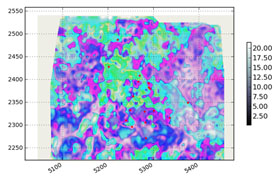
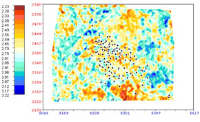
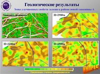
The first phase of program SeisSproN (2005-2013) was designed to use 2D projection (maps) of geophysical parameters ( reservoir properties - porosity , the effective thickness of the formation; well logs curves, etc. ) based on neural networks and linear regression. The calculation is performed for ...
Read More ...
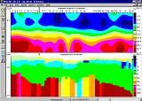
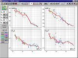
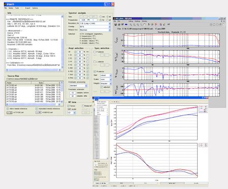
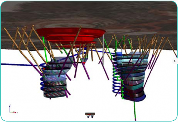
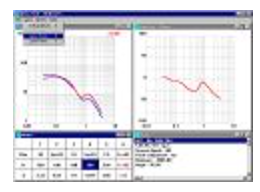
MSU_MT1D software is intended for one-dimensional profile MT data interpretation. It possesses multifunctional graphic user interface and has options for manual or automatic MT curve selection, apparent resistivity and phase impedance cross-section analysis, analysis of geoelectric cross-sections al ...
Read More ...
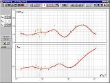
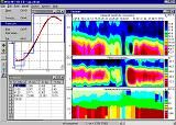
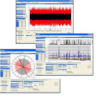
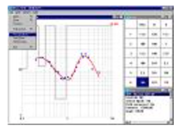
MT-Corrector software is intended for the viewing, editing and constructing the smooth spline approximations of the frequency dependences of tensor impedance components.
Program has the advanced graphic user interface and large number of special capabilities. It is capable of being important part o ...
Read More ...

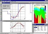
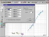
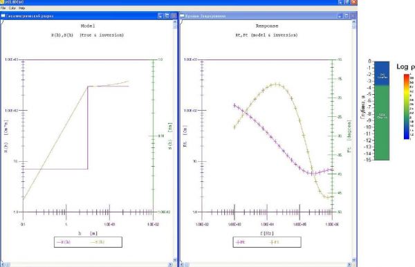
This program is intended for MT data inversion along the profile and on the grid. The nucleus of the program is a direct one-dimensional algorithm for calculating the MT field. The parameters of inversion include entering the amplitude-phase curves for separate MT sites, their calculation errors, th ...
Read More ...

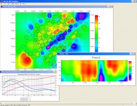
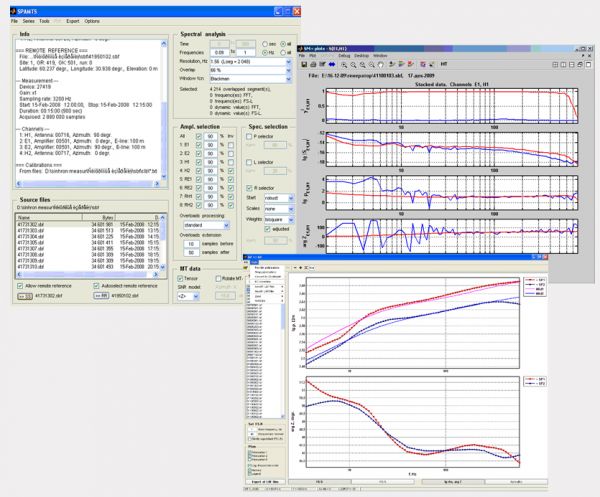
Software is intended for MT data normalization, the analysis and interpretation along the profile and on the grid. Build-in functions based on the document templates allow user to export results to Grapher and Surfer and allow user to make quick and good quality reports, freeing him from the routine ...
Read More ...

ACF-4M DATA PROCESSING AND INTERPRETATION SOFTWARE TOOLS
the control and data processing program SM27
the robust data processing program SM+
the data archiving and visualization program Geoinf32
the 1D inversion program MEL
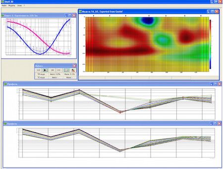
the 2D inversion program Shell2d
THE SM27 PROGRAM
The SM27 progra ...
Read More ...


Encom Discover PA 2015 is now available!
The Encom Discover PA family of interpretation products will change the way you work by making it easy to explore, interpret and realize data and models of the earth. Take a closer look at Encom Discover PA Professional, Encom Discover PA Explorer and the fr ...
Read More ...

THE RMT DATA PROCESSING AND INTERPRETATION SOFTWARE
(MODIFICATIONS FOOT RMT-F, MOBILE RMT-M AND CONTROL SOURCE RMT-CS)
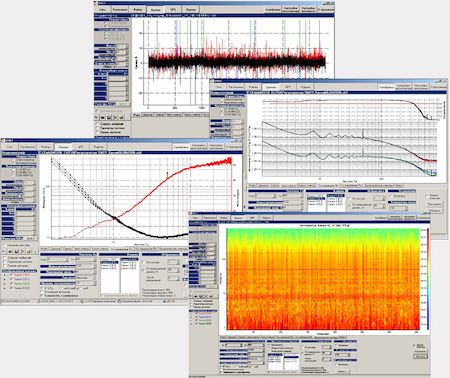
the operation management and data processing software SM25
the operation management software GIK for the RMT-CS modification
the robust data processing software package SM+ / ...
Read More ...
MSU_FS1D software’s main purpose is to solve straight and inverse FES problems. It allows the calculation of all the components of a low-frequency field of basic dipole sources on the surface of a horizontally layered medium (taking into account its polarization). The program’s graphic user interfac ...
Read More ...