Geoscience Software
Geoscience is the branch of science dealing with planet earth, including features on the earth’s surface, and below it. In petroleum industry, geoscientists play an important role in finding underground oil and gas reservoirs. They are also involved in mapping and interpreting underground surface interpretation. Today there are a number of advance geophysical software packages available for processing, interpreting and running inversion on reservoir seismic data.

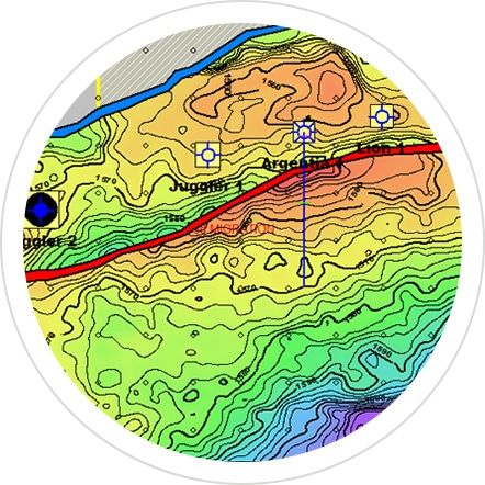
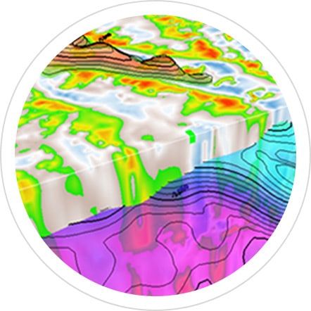
Z-Terra offers state-of-the-art depth imaging and complex velocity model building solutions. Velocity model building is an essential component for accurate depth imaging. Z-Terra has a wide range of velocity model building algorithms and workflows that provide high resolution depth anisotropic veloc ...
Read More ...
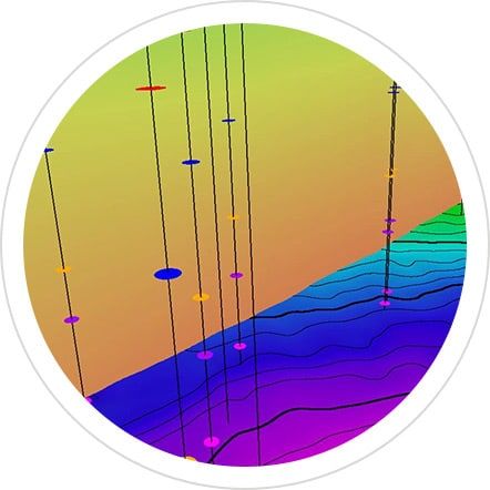
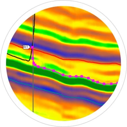
Zestani is one of Z-Terra’s software tools for estimating Thomsen weak elastic anisotropy parameters and building an initial anisotropic velocity model using well logs, seismic data, and an initial isotropic velocity model in time or in depth. Zestani estimates seismic anisotropy parameters by migra ...
Read More ...
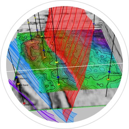
Z5-D is Z-Terra’s 5-D interpolation using Azimuth Moveout (AMO) and Offset Vector Tiles (OVT). AMO is a wave-equation operator that can be effectively applied to interpolate and regularize 5-D seismic data and improve the accuracy, illumination, and imaging of structurally complex targets. AMO is st ...
Read More ...

We provide the industry’s most advanced solutions for processing 2-D and 3-D seismic and we are a recognized leader in advanced onshore and near-shore seismic data imaging. We have also completed many ocean bottom and offshore streamer projects. Our team has completed more than 450 imaging projects ...
Read More ...
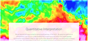
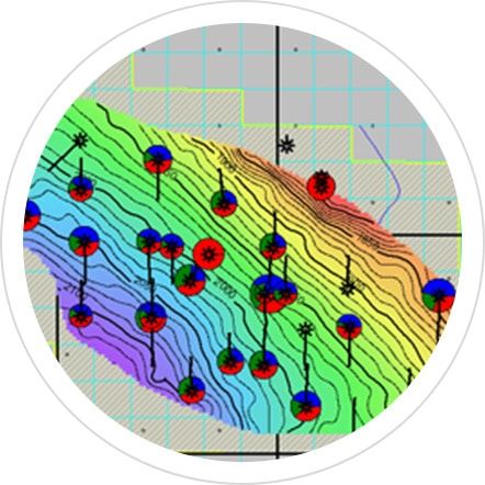
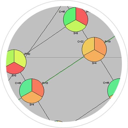
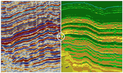
We go beyond just interpreting the generalized geology of the Earth. By applying quantitative interpretation, we focus on understanding the prospective zones within the target geology. Quantitative interpretation relies on high-quality data, advanced software, and integrated workflows to succeed. Ou ...
Read More ...
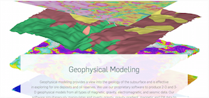
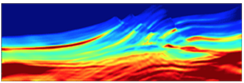
Geophysical modeling provides a view into the geology of the subsurface and is effective in exploring for ore deposits and oil reserves. We use our proprietary software to produce 2-D and 3-D geophysical models from all types of magnetic, gravity, electromagnetic, and seismic data. Our software simu ...
Read More ...


Geophysics is an easy-to-learn, cost effective, seismic- interpretation solution with all of the tools you need to interpret conventional and unconventional plays. Spend your time achieving results, not fighting your software.
QSI at Canadian Discovery Ltd. (CDL) jointly calibrates all available seismic, petrophysical and production knowledge to create reliable, accurate reservoir interpretations. QSI delivers high-quality, detailed reservoir characterizations to markedly improve exploration and development results while ...
Read More ...
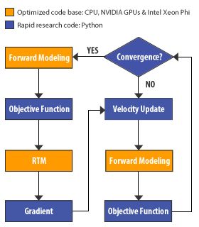
Revolutionary Modular FWI Platform Full waveform inversion (FWI) is a recent exciting technique for the seismic industry because of its potential to deliver very detailed subsurface imaging. It is an advanced and automatic method for improving velocity models by iteratively matching the modeled data ...
Read More ...
Reverse Time Migration (RTM) is an advanced migration method for seismic depth imaging. The strength of RTM stems from the fact that it fully respects the two-way acoustic wave equation, thus improving imaging in areas where complex geology violates the assumptions made in Kirchhoff or one-way wave ...
Read More ...