Geoscience Software
Geoscience is the branch of science dealing with planet earth, including features on the earth’s surface, and below it. In petroleum industry, geoscientists play an important role in finding underground oil and gas reservoirs. They are also involved in mapping and interpreting underground surface interpretation. Today there are a number of advance geophysical software packages available for processing, interpreting and running inversion on reservoir seismic data.
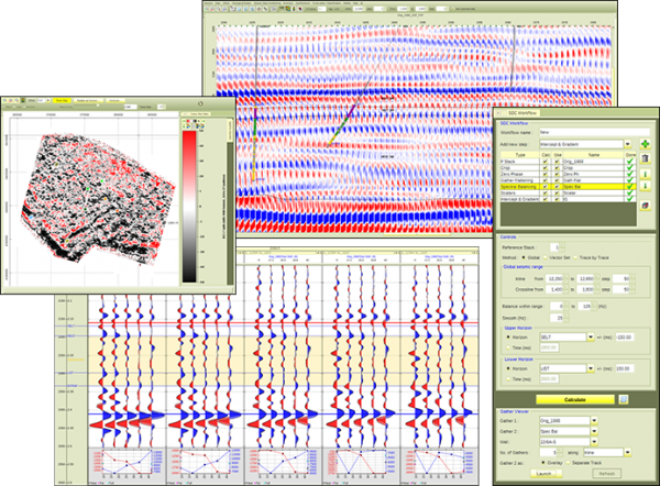
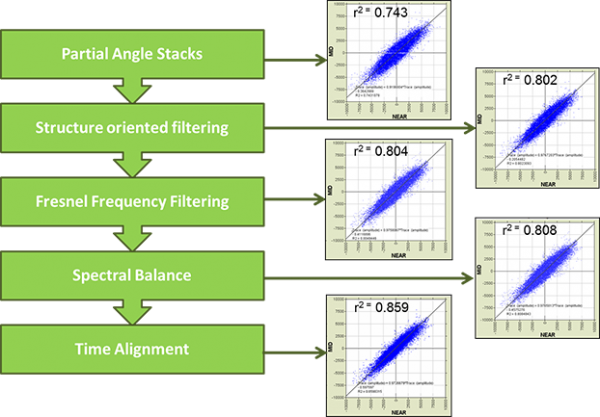
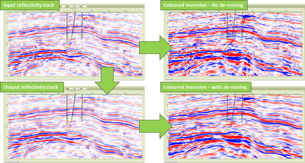
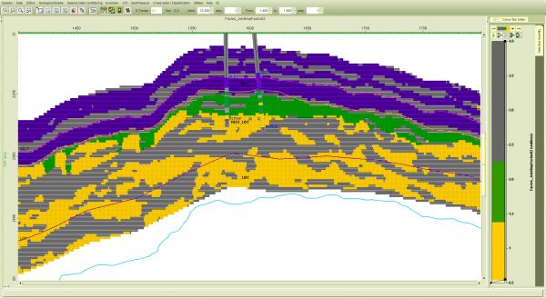
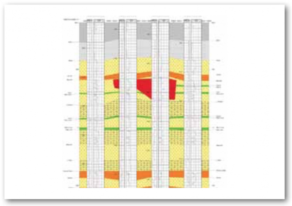
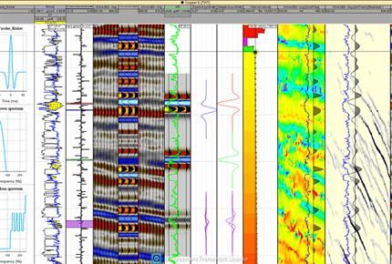
RokDoc SDC - Seismic Data Conditioning modules to assess the feasibility of your data and improve it if needed. Ensure your data is the best it can be.
The RokDoc SDC (Seismic Data Conditioning) module brings together a number of functions to optimise post- or partial-stacks prior to inversion.
Th ...
Read More ...
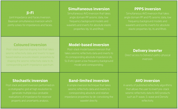
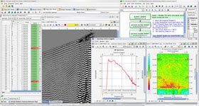
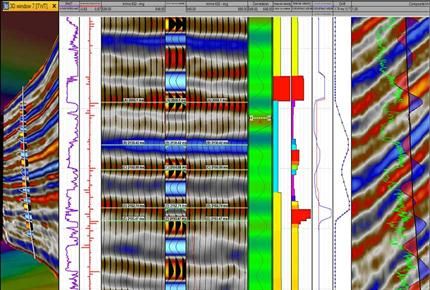
Inversions for every situation
Ikon Science's inversion technology is designed with accuracy and science at its core. We have developed a number of inversion methods that offer detailed impedance understanding for any environment from detecting facies with Ji-Fi in complex shale plays or simple EEI ...
Read More ...
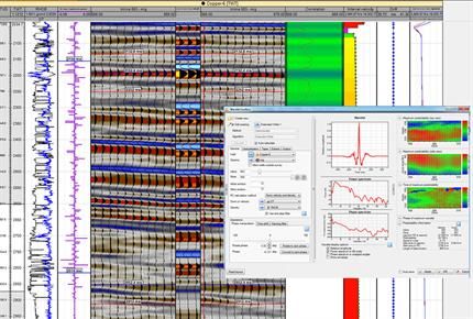
Ji-Fi, a tool for challenging times
Operators around the globe are shifting their focus from exploration to the most efficient extraction of petroleum from existing assets, at the lowest possible capital costs. In such a context, Ikon Science’s state-of-the-art Joint Impedance and Facies Inversion ...
Read More ...
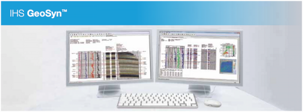
Enhance geophysical interpretation with 1D and 2D geological modeling
How would intelligent workflows change your geosynthetic modeling?
GeoSyn® is scientific synthetic modeling software that provides “what-if” scenarios for a comprehensive relationship analysis between geological and geophysical ...
Read More ...

The Omega geophysics data processing platform integrates comprehensive workflows and advanced algorithms with leading science, scalable processing, and flexible extensibility to unleash the potential of your geophysics data. This integrated approach allows combining data and expertise from different ...
Read More ...
Advanced Seismic Solutions for Reducing Exploration Costs
Time is money and in a fast moving world the pressure to take quick and accurate decisions on key exploration milestones is greater than ever. To help clients cut exploration time, reduce costs, and mitigate drilling risk Polarcus offers Rig ...
Read More ...
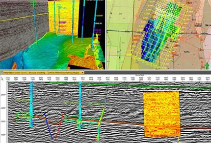
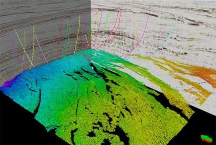

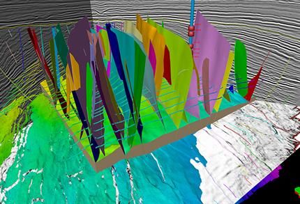
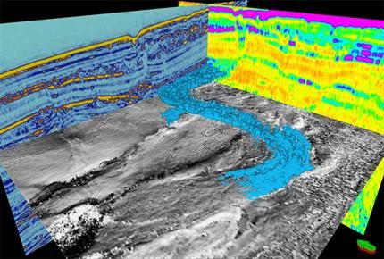
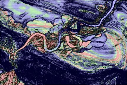
The Petrel Seismic Interpretation module enables basin-, prospect-, and field-scale 2D/3D seismic interpretation and mapping. You can work with thousands of 2D lines, thousands of kilometers, and multiple 3D vintages and surveys—across multiple coordinate systems with very high visualization perform ...
Read More ...
Petrel Multitrace Attributes Popular
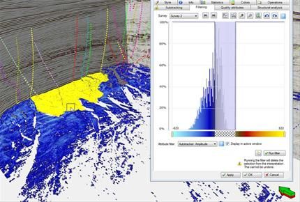
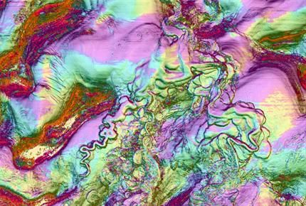
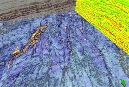
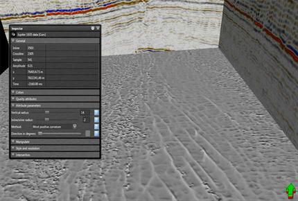
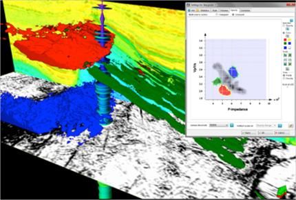
The Petrel Multitrace Attributes module enables identification and delineation of structural and stratigraphic elements by providing more than 40 attributes that can be instantly and interactively calculated directly at interpreted events, on nearby uninterpreted events, or between events.
Using Mu ...
Read More ...
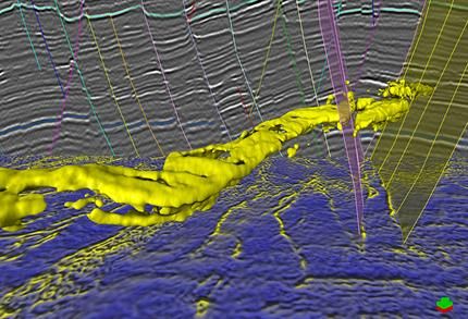
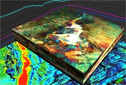
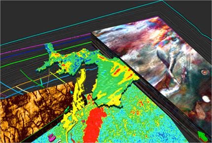
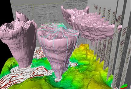
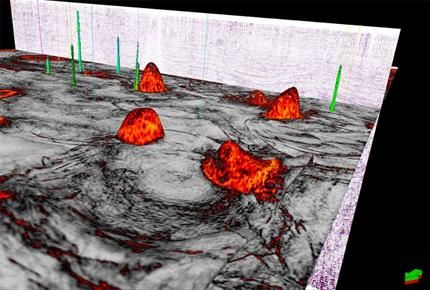
Using the latest advanced GPU rendering, the Petrel Seismic Volume Rendering & Extraction module enables quick and interactive blending and rendering of multiple seismic volumes with extreme clarity to detect anomalies, delineate structural and stratigraphic features, isolate areas of interest, ...
Read More ...
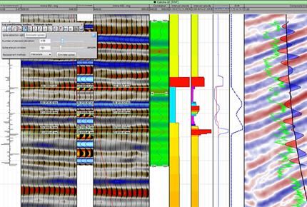
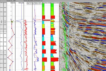
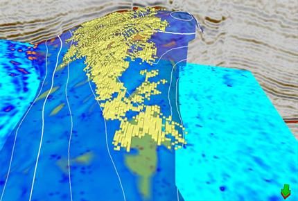
Petrel Seismic Well Tie Popular
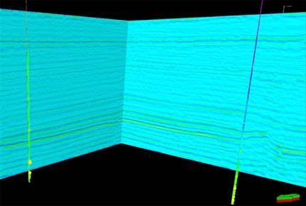
The Petrel Seismic Well Tie module allows interactive checkshot calibration of sonic log data, analytical wavelet creation, statistical and deterministic wavelet extraction, and synthetic seismogram generation for 2D and 3D seismic data.
Integrated synthetic seismogram workflows unify, within the s ...
Read More ...