List Categories and Listings by S
Process DAS data in real-time
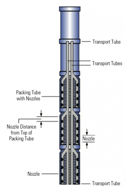
ISP’s unique Streaming Pre-processing System (SP2S) allows real-time Distributed Acoustic Sensor (DAS) data processing.
SP2S extracts the relevant information needed for well monitoring from DAS on-site and integrates DAS with other real-time data such as DTS, DPS or ...
Read More ...
SPAN Rock Popular
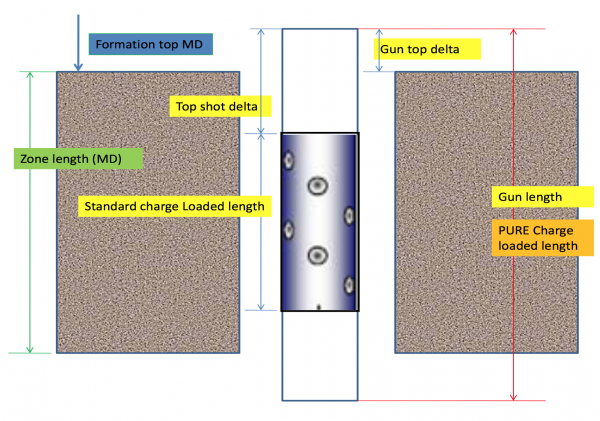
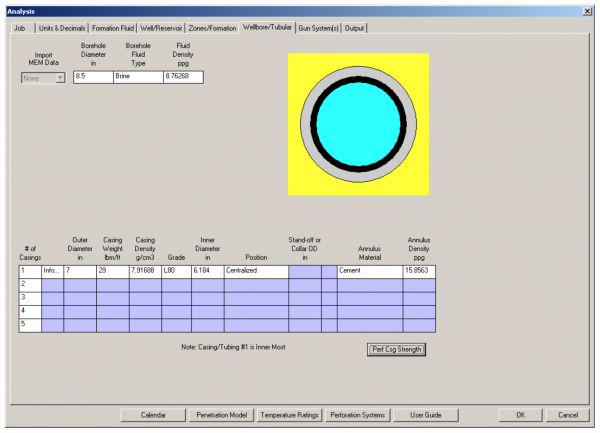
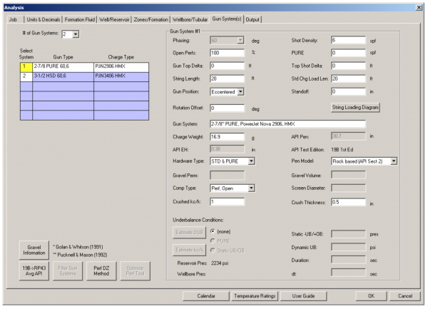
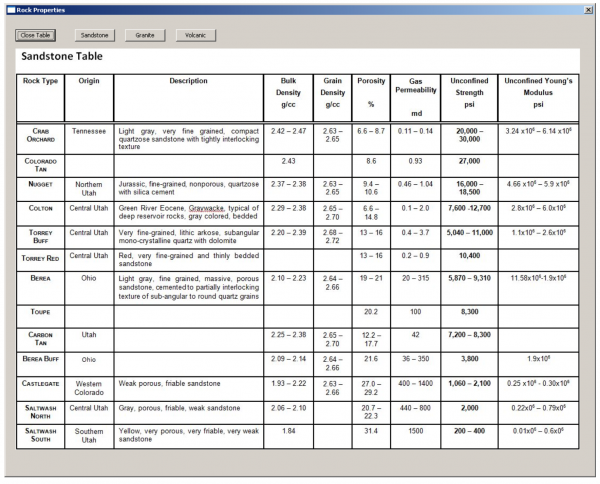
SPAN Rock Stressed-Rock Perforating Analysis
Model perforating performance at reservoir conditions to optimize completion efficiency
Deliver the best productivity from your completion with the optimal gun system and charges specified by SPAN Rock stressed-rock perforating analysis. This simple yet ...
Read More ...
SROD and DIAG Popular
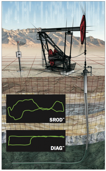
Rod Pumping Design & Analysis Software
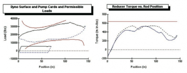
SROD and DIAG are the industry leaders for rod pumping design and analysis software. Lufkin Automation has now released the deviated versions of these programs to accompany the vertical version. Both deviated and vertical wells are now in one program, and ...
Read More ...
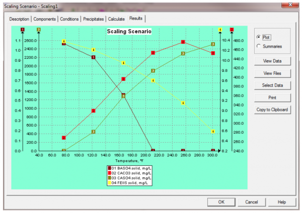
Scale problems arise in high rate gas wells for the same basic reason that they occur in waterflood operations: produced brines become supersaturated with mineral scales as a result of changing conditions between the reservoir and the point of deposition.
A complicating factor in the assessment of ...
Read More ...
StimCADE Popular
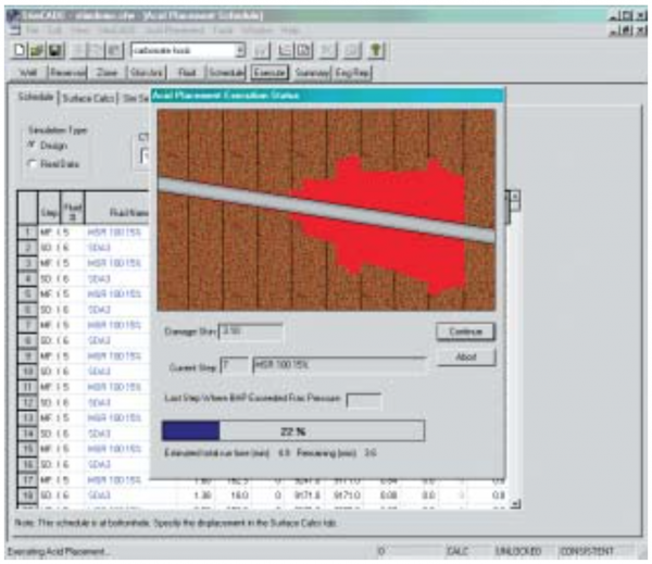
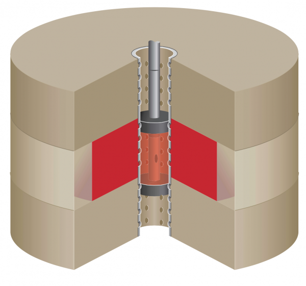
Well productivity can be adversely affected by formation damage in the near wellbore or by low natural permeability of the reservoir rock. Damage may be caused by drilling operations or the effects of long-term production. Carbonate minerals dissolve readily in acids, and acidizing has for years bee ...
Read More ...
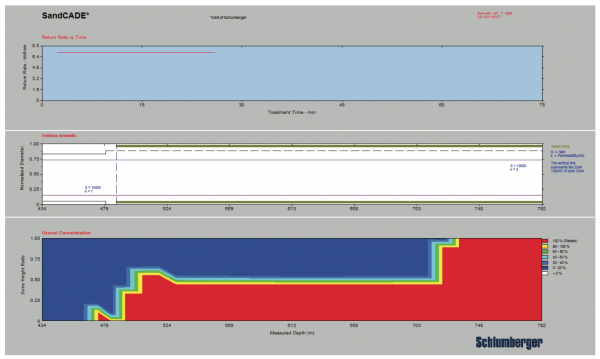
Sand control takes precision, which is why every Schlumberger gravel- or frac-pack treatment begins above ground—with SandCADE* software. This computer tool is an integral part of designing sand control treatments that reduce workovers and completion failures. SandCADE software allows Schlumberger t ...
Read More ...
Overview
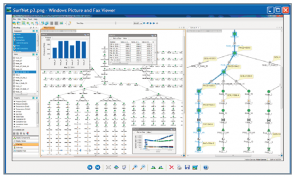
Accurate prediction of asset deliverability often requires modeling of the reservoirs, wells, and surface facilities as a single integrated system. This enables the engineer to assess total asset deliverability from the reservoir through point of sale. Nexus® simulation software enables th ...
Read More ...
SelectEOR Popular
SelectEORTM executes screening studies taking into account seventeen EOR processes and makes predictions using fourteen methods. It was sent to the market in 2009 from the Alberta Research Council, and it is based on the prior software named PRIzeTM. The screening criteria are based on a complete da ...
Read More ...
Screening 2.0 is a software tool developed by the I.C.P. ECOPETROL S.A., and can apply screening criteria of eighteen EOR methods. This tool considers the screening criteria of Lewin, Farouq Ali, Taber, Seright, NPC, McRee, Iyoho, Stalkup, SSI, E.C. Donaldson, Leonard, Pri - Canada, Ganesh Thakur, W ...
Read More ...
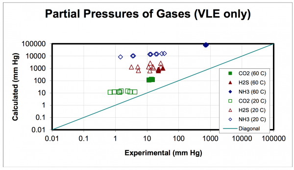
Mixture properties and fluid phase equilibria calculations
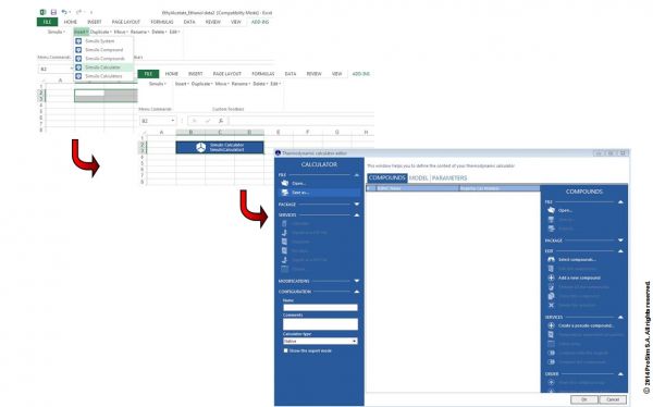
Interoperability, integration, reusability. Simulis Thermodynamics allows anyone in industry, engineering or research to run high quality thermophysical properties calculations. These calculations can be plugged in any software of wider app ...
Read More ...
Energy Integration of Processes in Microsoft® Excel
Simulis Pinch allows any engineer to easily apply the pinch technology to find the best possible energy exchanges between streams to be heated and streams to be cooled. All the constraints of the plant (distances, incompatible exchanges...) can be ...
Read More ...
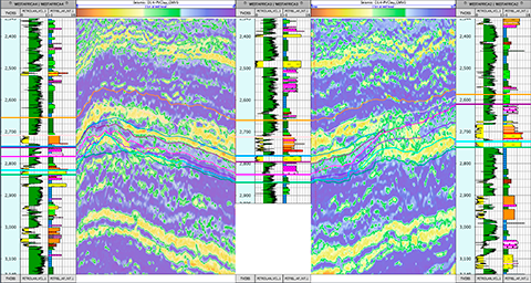
Data management is a deciding factor in the efficiency and quality of our geoscientific studies. By facilitating access to all available data and sharing them amongst the various geoscientific disciplines, Sismage-CIG (Geoscience and Reservoir Integrated Platform) significantly improves our ability ...
Read More ...
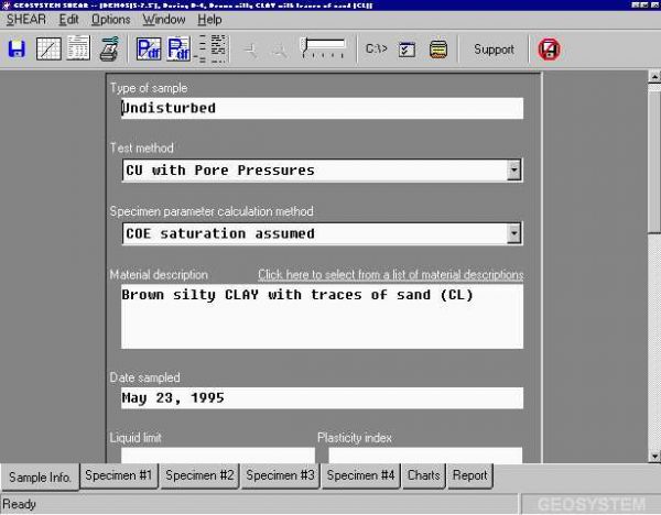
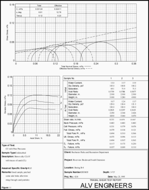
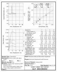
This program reduces the data from triaxial shear, direct shear and unconfined compression tests. Support is included for triaxial pore pressure or drained test buret readings and for vertical deformation readings taken during direct shear testing. SHEAR is compatible with both Corps of Engineers an ...
Read More ...
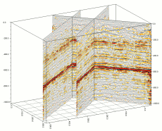
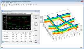
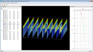
SEISMAPPER plots velocity sections or seismic stacks in 2D section and 3D fence. The velocity sections are displayed with colors, contours, and editable lithologic symbols, while the seismic stacks can be viewed with wiggle or color density.
Features
Group data in a survey area with a project
P ...
Read More ...
SF IMAGER is mainly used to process optimum offset seismic reflection data. It provides filtering, random noise attenuation, and deconvolution to improve the S/N ratio. You can import or pick velocities, migrate the time section, and generate a depth profile.
SF IMAGER is also used to process the g ...
Read More ...
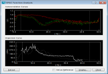
SURFACE PLUS can handle both active and passive surface waves with any shape of geometric layout. It contains all the features provided in GEOGIGA SURFACE and includes SASW, MASW, REMI, SPAC, and ESPAC.
Features
Process active and passive surface waves
Build CMPCC gathersnew
Include SASW, MASW ...
Read More ...
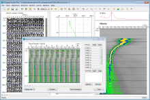
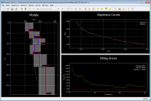
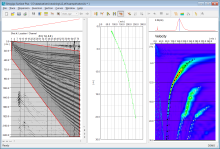
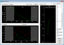
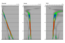
SURFACE is able to process active surface waves with SASW and MASW. The dispersion spectrum can be calculated in F-K, F-V, or F-P domain, where the fundamental and high-mode dispersion curves are interactively picked. The robust forward modeling and the global genetic algorithm (GA) assure the quick ...
Read More ...
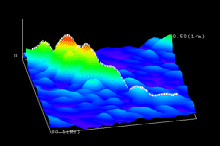
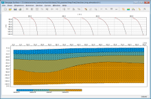
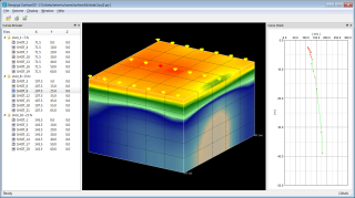
SURFACE3D loads dispersion curves generated from SURFACE or SURFACE PLUS and then plots the velocity volume as a cube or fence in 3D surface wave surveys.
Features
Load dispersion curves generated from SURFACE or SURFACE PLUS
Check and redefine survey locations
Plot dispersion curves
Build ve ...
Read More ...
Subsurface Portal for ArcGIS Popular
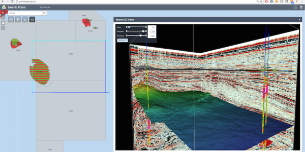
Make your subsurface data easily accessible through a web environment and allow your teams to collaborate, share information and make informed decisions
Subsurface Portal for ArcGIS extends ArcGIS Enterprise and consist of a set of extensions and widgets:
Seismic Explorer - a desktop extension f ...
Read More ...
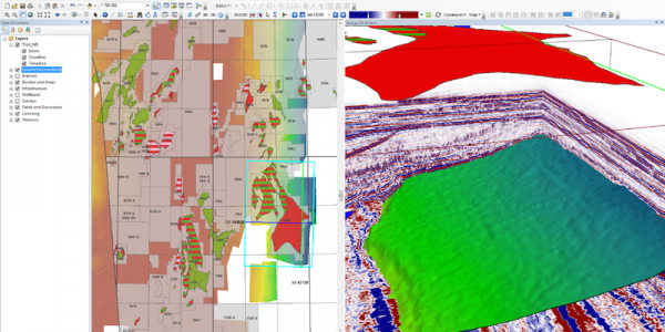
Seismic Explorer for ArcMap is an ArcGIS extension for managing and visualizing seismic data. It extends your ArcGIS desktop environment and brings your cultural data together with seismic data, bathymetry, interpretation, horizons and wells in an integrated 3D window inside ArcMap.
Features:
Su ...
Read More ...


