Aarhus GeoSoftware
0 reviews
Professional software solutions for processing, inversion and visualization of geophysical data.
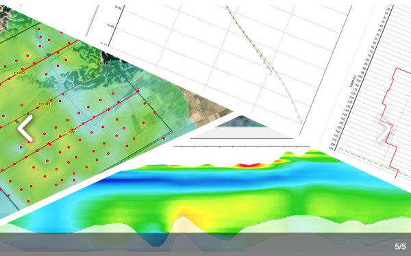
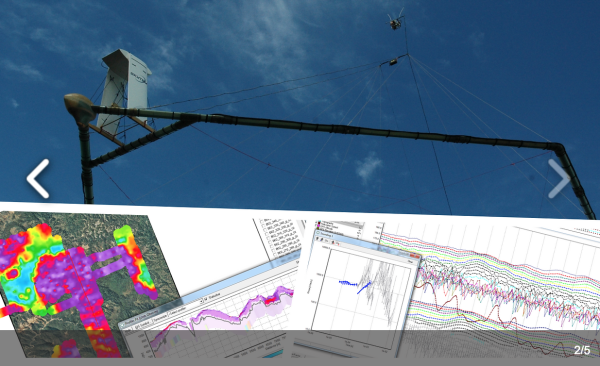
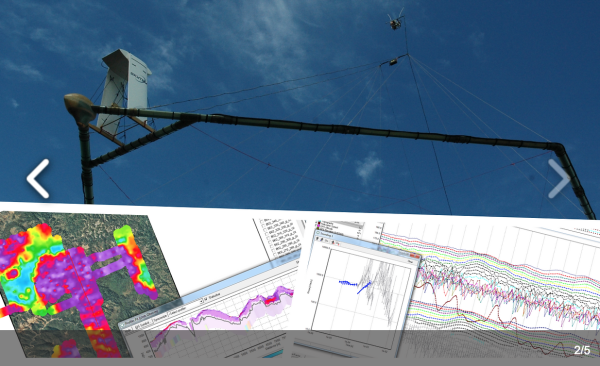
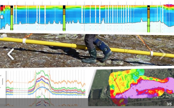
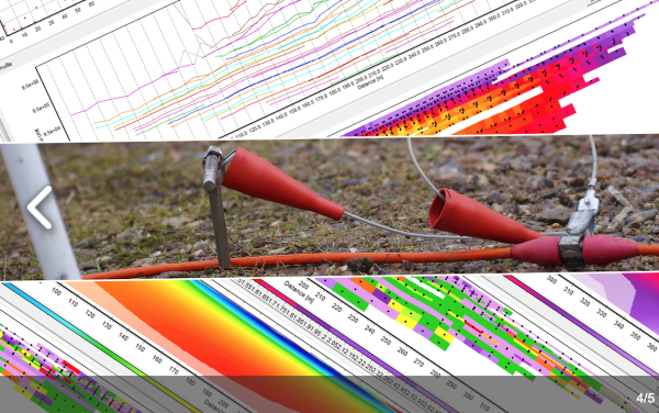
Aarhus GeoSoftware develops processing, inversion and visualization software for ground based and airborne EM data and ERT/IP data.
Software packages:
Aarhus SPIA: For groundbased single TEM and VES s ...
Read More ...
Category
Geoscience Software
Visits
408
Redirects
3

