LMKR
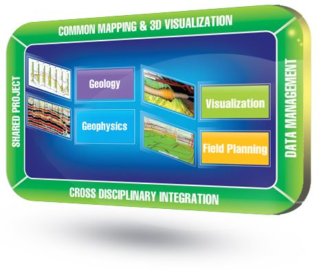
Complete, affordable, geoscience system offering leading edge mapping; geological, geophysical & petrophysical modeling; well and field planning; and, state-of-the-art 3D visualization. Its key strengths are found in the following:
It's a tightly-integrated geoscience suite that combines indu ...
Read More ...
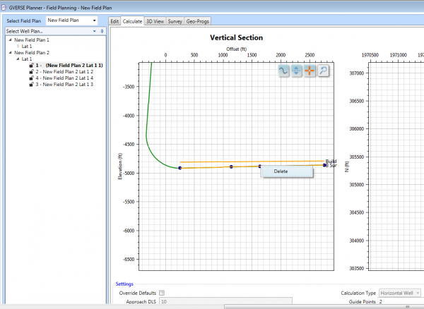
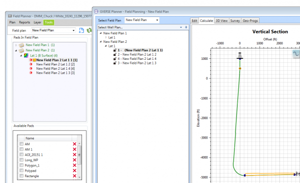
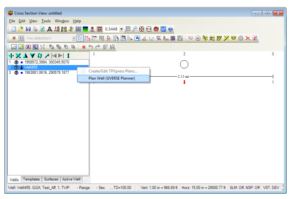
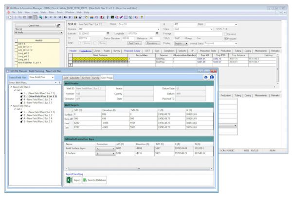
GVERSE Planner allows multiple well planning to easily visualize geologic surfaces, quickly create surveys and geoprognosis reports, and just as easily make changes to existing well plans. It provides geologists with the capabilities needed to accurately design proposed wells and rapidly make well c ...
Read More ...
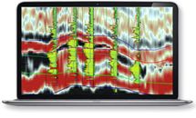
GVERSE Attributes enables geoscientists to harness the full power of seismic attributes by drastically reducing the time, effort and disk space required for attribute analysis. Fast, on-the-fly computation, and real-time visualization of seismic attributes in a multi-pane viewer or in a 3D environme ...
Read More ...
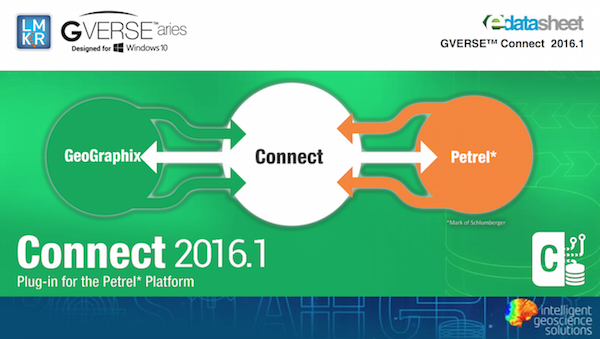
Data interoperability is critical in optimizing the accuracy of reservoir characterization and maximizing the productivity of the entire asset team. GVERSE Connect was developed to address the need for data interoperability between the Petrel® E&P software platform and GeoGraphix, ultimately let ...
Read More ...
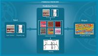
GVERSE Predict3D is a multi-attribute inversion solution*, based on spectral decomposition and state-of-the-art optimization techniques, to predict rock properties away from wells using well logs and seismic data. This enables you to understand the reservoir effectively and reduces risks associated ...
Read More ...
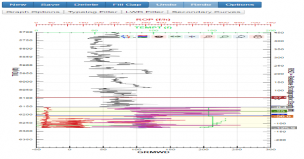
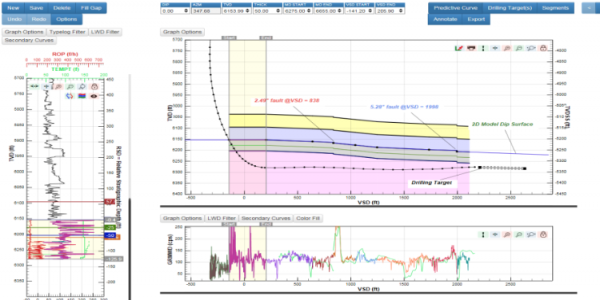
GVERSE WebSteering is designed specifically to help geoscientists’ geosteer horizontal wells in thin pay zones and to direct the drill bit in real time.
It is the only web browser based geosteering application in the industry that delivers optimal well placement with simple data loading and full in ...
Read More ...
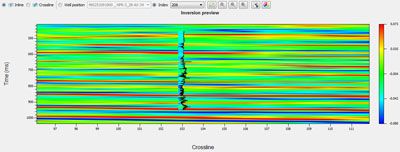
This plug-in is a colored inversion solution that provides a rapid, yet robust way to derive geological details in the form of a relative impedance (rock hardness). When geosteering through a reservoir, the high resolution impedances calculated by the colored inversion ensure that the well is drille ...
Read More ...
IsoMap
Subsurface Interpretation
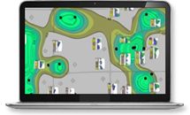
GeoGraphix IsoMap utility is a comprehensive surface modeling and contouring application that can be used on a wide variety of data sets. IsoMap® provides 10 different interpolation algorithms, e.g. minimum curvature, adaptive fitting etc. from which geologic surfa ...
Read More ...
A Powerful Mapping Environment for Professionals
GeoAtlas is a robust mapping environment for GeoGraphix that facilitates displaying, modifying, and arranging map layers created in other GeoGraphix applications. It facilitates designing maps and montages, as well as providing a platform for other a ...
Read More ...
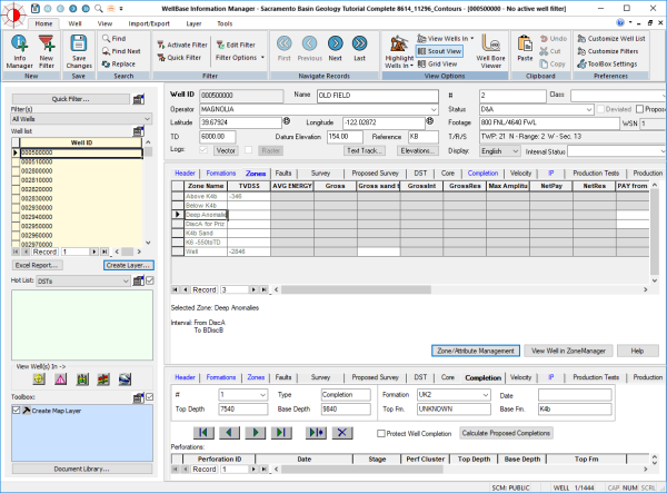
WellBase software provides access to a relational database management system for geological well data, including formation tops, deviation surveys, completions, perforations and other types of mechanical data. WellBase stores its data using the GeoGraphix® Data Model (GXDM). The model is based on an ...
Read More ...
Page 1 of 2
- 1
- 2

