agiusa
0 reviews
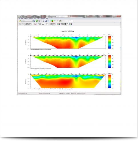
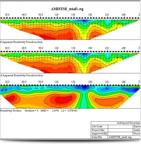
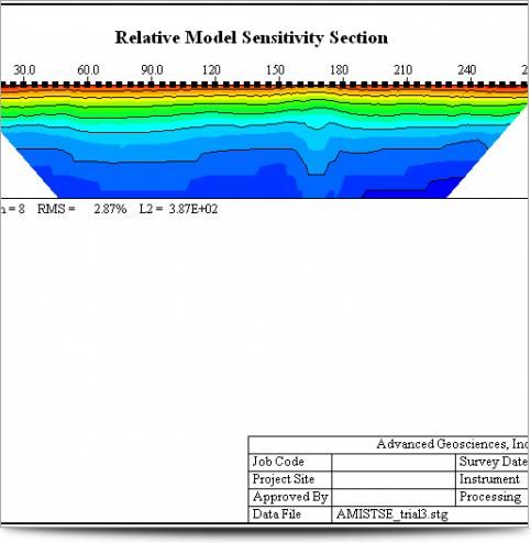
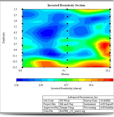
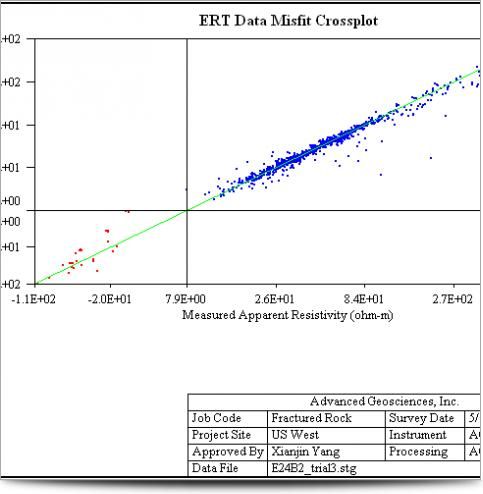
AGI EarthImager 2D is a two-dimensional inversion modeling software for affordable resistivity and induced polarization (IP) imaging. It interprets data collected by the SuperSting Wi-Fi in just a few clicks, including parallel boreholes or on a surface line.
The data set, collected using SuperStin ...
Read More ...
Category
Geoscience Software
Visits
1,512
Redirects
705
Don't Miss Out! Get the Best Deal on this Software - Email Us Now!

