jhollis@neosgeo.com
We provide the industry’s most advanced solutions for processing 2-D and 3-D seismic and we are a recognized leader in advanced onshore and near-shore seismic data imaging. We have also completed many ocean bottom and offshore streamer projects. Our team has completed more than 450 imaging projects ...
Read More ...
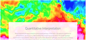
We go beyond just interpreting the generalized geology of the Earth. By applying quantitative interpretation, we focus on understanding the prospective zones within the target geology. Quantitative interpretation relies on high-quality data, advanced software, and integrated workflows to succeed. Ou ...
Read More ...
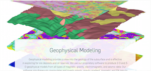
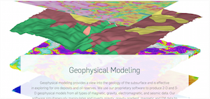
Geophysical modeling provides a view into the geology of the subsurface and is effective in exploring for ore deposits and oil reserves. We use our proprietary software to produce 2-D and 3-D geophysical models from all types of magnetic, gravity, electromagnetic, and seismic data. Our software simu ...
Read More ...


