Geocap Ground Model
Geocap Ground Model is used for ground model construction in all stages of project development; from project inception and desktop study through to operation and maintenance, the ground model informs all activities involving resource assessment and engineering intrusive works.
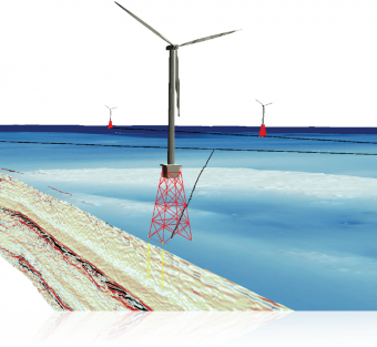
The Geocap Ground Model module enables the integration of water column, ground / seabed, infrastructure and sub-surface data, including seismic and boreholes, in a single 3D environment, with processing and interpretation capability.
Geocap is the only software available that enables full interaction with all relevant site data, enabling best use of information through the complementary nature of data sets, and saving time and money by avoiding the use of multiple software packages and awkward file exchange formats.


