Maritime Limits and Boundaries for ArcGIS
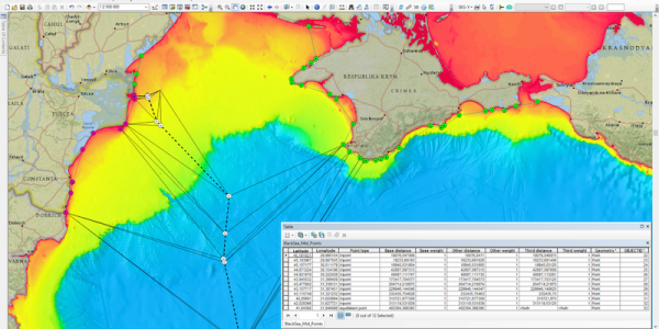
The Maritime Limits and Boundaries extension provides a set of tools for calculating maritime limit lines and maritime boundary lines in ArcMap.
Users can capture, configure, store and disseminate their data using an industry leading GIS platform. This is a major advantage to usability as the data stream is harmonized, removing several transformation and data conversion steps.
Features
- Advanced limit line calculations
- Equidistance calculations
- Weighted midline calculations
- Tri-point calculations
- Batch calculation
- Attribution, metadata and reference to source data
- Supports shapefiles and file geodatabases
Listing Details
Visits
977
Redirects
230
Don't Miss Out! Get the Best Deal on this Software - Email Us Now!
Map

